

Description
Medium: Steel engraving withvoriginal old hand colouring, heightened with a shiny substance on wove (vellin) paper.
Sheet size: 17 x 26.5 cm (6.69 x 10.43 inch).
Condition: fair, given age. Some browning and staining. Some small tears in bottom paper edge. General age-related toning and/or occasional minor defects from handling. Please study scan carefully.
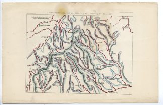
LANGRES-MOUNTAIN-FRANCE | PCO-C15-39
BACKGROUND INFORMATION
This delicate handcoloured engraving originates from: ‘Oeuvres completes de Buffon, avec la nomenclature Linneene et la classification de Cuvier.’ Published in Paris by Garnier Freres, Libraires, 6 Rue des Saint-Peres, 1853.
Biography artist: Author: Georges-Louis Le Clerc, Comte de Buffon (September 7, 1707 ? April 16, 1788). French naturalist, mathematician, biologist, cosmologist and author. Buffon’s views influenced the next two generations of naturalists, including Jean-Baptiste Lamarck and Charles Darwin.

Reviews
There are no reviews yet.