
 Print
Print Description
Copperplate engraving / etching on verge (hand laid) paper. on paper.
Size in cm: The overall size is ca. 55.5 x 41.3 cm. The image size is ca. 53.2 x 36.9 cm. Size in inch: The overall size is ca. 21.9 x 16.3 inch. The image size is ca. 20.9 x 14.5 inch.
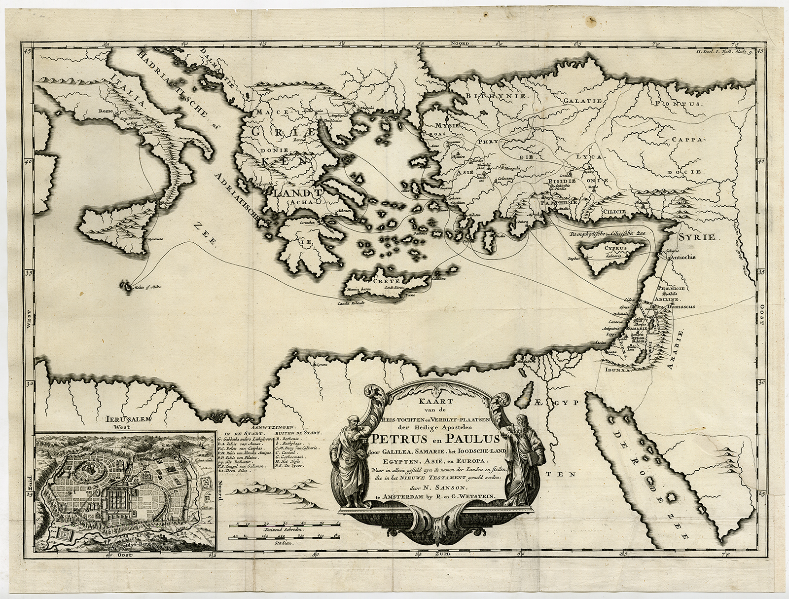
Antique map, titled: ‘Kaart van de reis-tochten en verblyf-plaatsen der Heilige apostelen Petrus en Paulus door Galilea, Samarie, het Joodsche Land, Egypten, Asie en Europa.’ – (Map of the Journeys and Residences of the Holy Apostles Peter and Paul through Galilee, Samaria, Jewish Land, Egypt, Asia and Europe). This map shows the travels of the apostles Peter and Paul, through Europe and Asia. With an inset plan of Jerusalem lower left. “Algemene kerkelyke en werldlyke geschiedenissen des bekenden aardkloots.”, by Geerlof Suikers and Isaak Verburg, published in 1728 in Amsterdam by R. and J. Wetstein and W. Smith.Artists and Engravers: Made by an anonymous engraver after ‘Nicholas Sanson d’Abbeville’. Publisher: R. and G. Wetstein. Author: Geerlof Suikers (1669-1717) was a Dutch lawyer and historian from Helmond. He wrote the first world history in Dutch.
Condition: Good, given age. Original folds, as issued. Two tears in folds in lower part of the print and margin, extending 2,5 cm into image and in right margin and in print, extending 7 cm into image, both backed by contemporary paper and consolidated with acid free tape. Some creases in paper. Some stains in margin and in print. General age-related toning and/or occasional minor defects from handling. Please study scan carefully.
Keywords: ANTIQUE MAP-JOURNEY-ST. PETER-PAUL-MEDITERRANEAN-SANSON-WETSTEIN-SUIKERS
XXX-B2-12

Reviews
There are no reviews yet.