
 Print
Print Description
Engraving on handlaid (verge type) paper. on paper.
Size in cm: The overall size is ca. 94 x 63.5 cm. The image size is ca. 85 x 56.5 cm. Size in inch: The overall size is ca. 37 x 25 inch. The image size is ca. 33.5 x 22.2 inch.
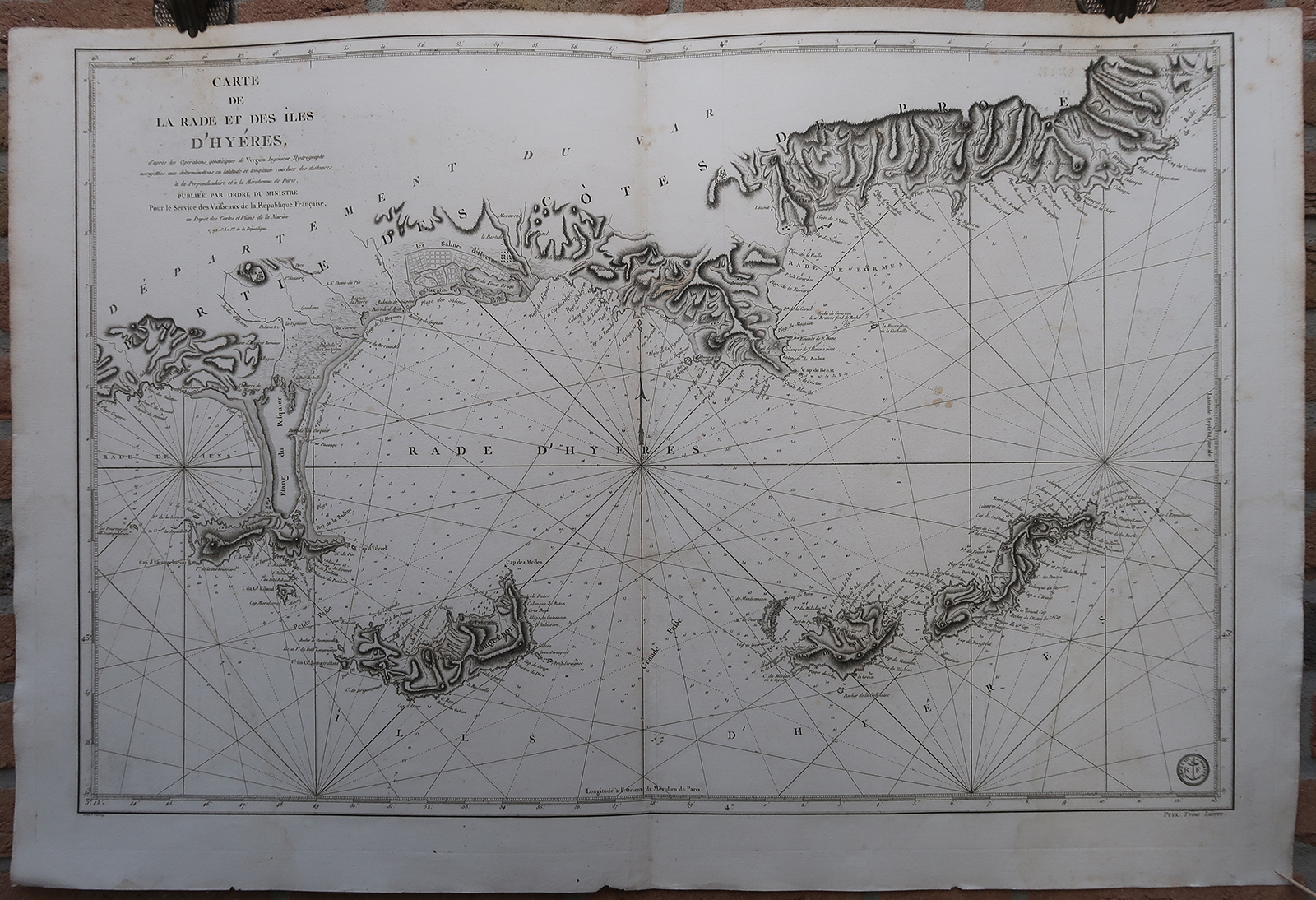
Antique map, titled: ‘Carte de la Rade et des Iles d’Hyeres […]’ – (Detailed map of the coast and a group of four Mediterranean islands off Hyeres, France.) Highly decorative sea chart / nautical map / maritime map. Map orientation is north. From: Neptune de la Méditerranée. Original full size Atlas sheet. This sea chart includes extensive rhumb lines and a key describing the quality of the terrains along the coast. Islands and coastal settlements are labeled, including forts, ports, and villages. Highly detailed lines and soundings could help direct ships around the many small islands and narrow inlets.Artists and Engravers: Made by ‘P. Croisey’ after ‘Verguin’. Publisher: Depot de la Marine.
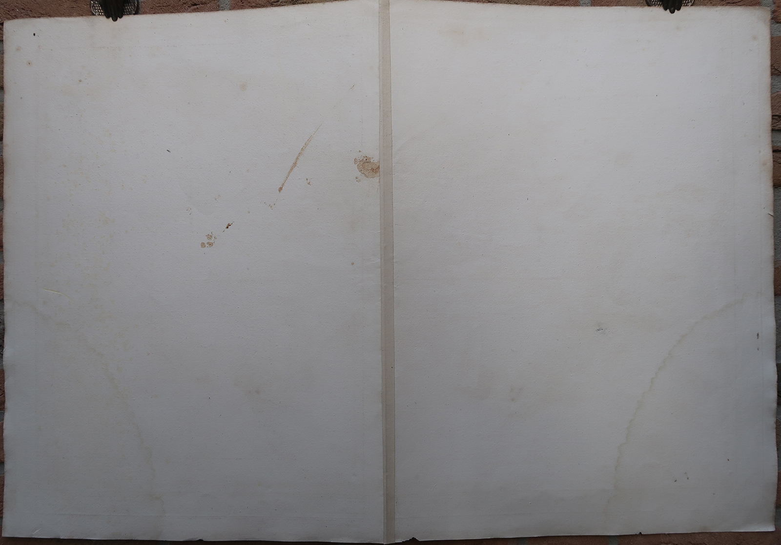
Condition: Very good, given age. Original middle fold as issued. Light soiling. A few small tears in paper edges, not effecting image. Light damp staining. Some stains. Some creasing. General age-related toning and/or occasional minor defects from handling. Please study scan carefully.
Keywords: ANTIQUE MAP-HYERES-ISLANDS-MEDITERREAN-FRANCE-DEPOT DE LA MARINE
(PCO) GK-049

Reviews
There are no reviews yet.