
 Print
Print Description
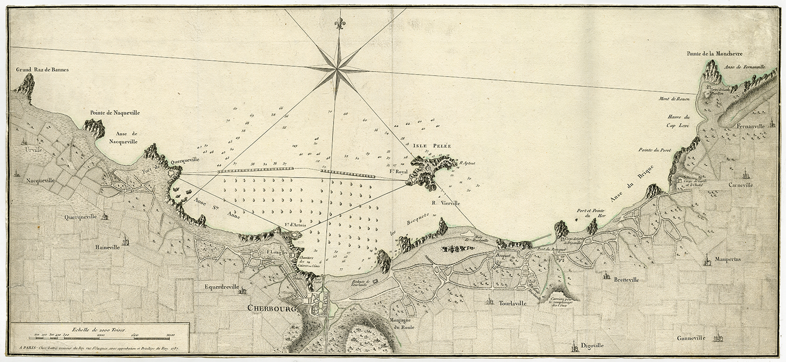
Subject: Antique print, titled: ‘Plan de la rade de Cherbourg.’ – Map of the Cherbourg harbor, nowadays Cherbourg-Octeville in France.
Condition: Very good, given age. Original folds, as issued. Trimmed to image borders. General age-related toning and/or occasional minor defects from handling. Please study scan carefully.
Medium: Engraving with some remains of colouring on hand laid paper.
Size (in cm): The overall size is ca. 70.7 x 32.2 cm. The image size is ca. 70.4 x 32 cm.
Size (in inch): The overall size is ca. 27.8 x 12.7 inch. The image size is ca. 27.7 x 12.6 inch.
Part Number: 60173
Location: (PCOLOEF) PCO-A2-01
Description: Published in Paris in 1787.
Artists and Engravers: Made by ‘Jean Lattre’ after an anonymous artist. Jean Lattre was an 18th. c. French Royal engraver, editor and merchant.

Reviews
There are no reviews yet.