
 Print
Print Description
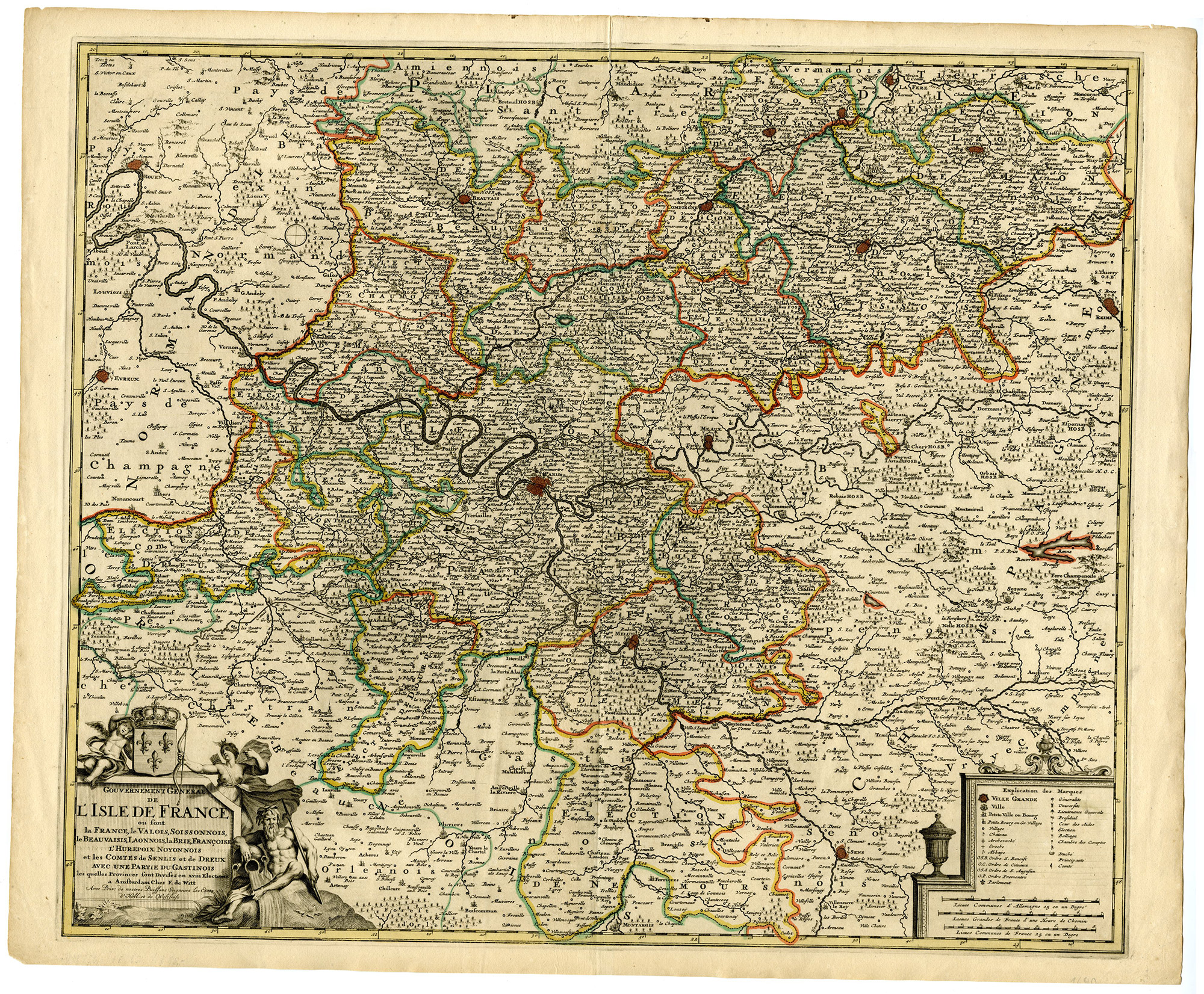
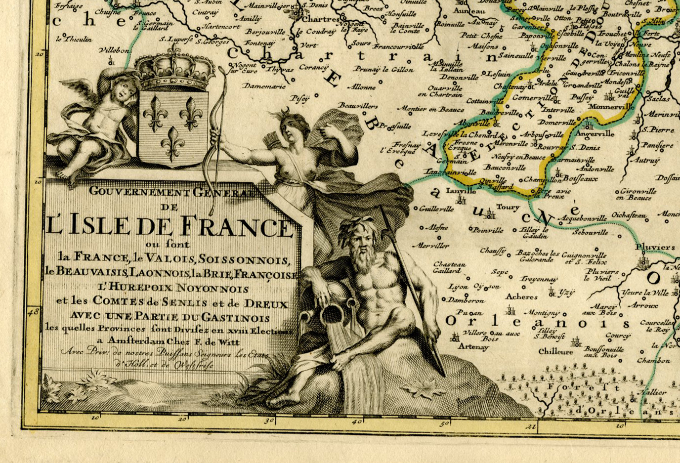
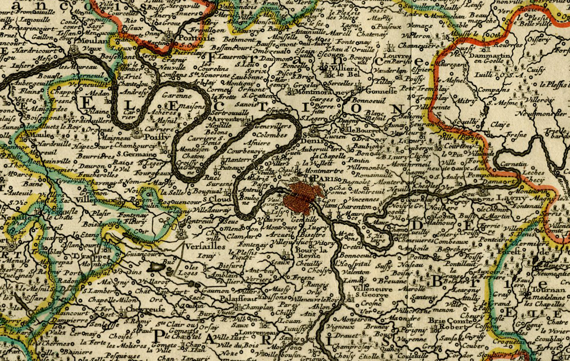
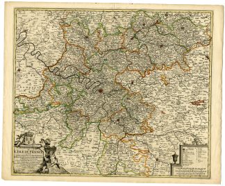
This print shows a detailed map of France, showing the provinces into which the kingdom was organized up until 1790. The meticulous title cartouche includes the royal crest of France, adorned with the three golden ‘Fleurs de lys’ and a classical river god. The isle-de-France region has been historically considered as the heartland of France and has been almost continuously a royal domain. Paris is situated in the centre of the map.
Made by an anonymous engraver after Frederik de Wit.
Medium: Engraving on hand laid (verge) paper.
Sheet size: 65 x 53.5 cm (25.59 x 21.06 inch). Image size: 59 x 50 cm. (23.23 x 19.69 inch).
Condition: good, given age. Fold as published. Creases. Tear in upper centre restored. Paper loss in lower left corner. General age-related toning and/or occasional minor defects from handling. Please study scan carefully.
MAP-FRANCE-L’ISLE DE FRANCE-PROVINCES-CENTRE OF FRANCE-PARIS | T.39 LARGE
BACKGROUND INFORMATION
This print was published in Amsterdam, ca. 1690.
Biography artist: De Wit (1629 ca.-1706) was a mapmaker and mapseller who was born in Gouda but who worked and died in Amsterdam. He moved to the city in 1648, where he opened a printing operation in 1655. From the 1660s onward, he published atlases with a variety of maps; he is best known for these atlases and his Dutch town maps. He gained a privilege from the States General in 1688. After Frederik’s death in 1706, his wife Maria ran the shop for four years before selling it. Their son, Franciscus, was a stockfish merchant and had no interest in the map shop. At the auction to liquidate the de Wit stock, most of the plates went to Pieter Mortier, whose firm eventually became Covens & Mortier, one of the biggest cartography houses of the eighteenth century.


Reviews
There are no reviews yet.