
 Print
Print Description
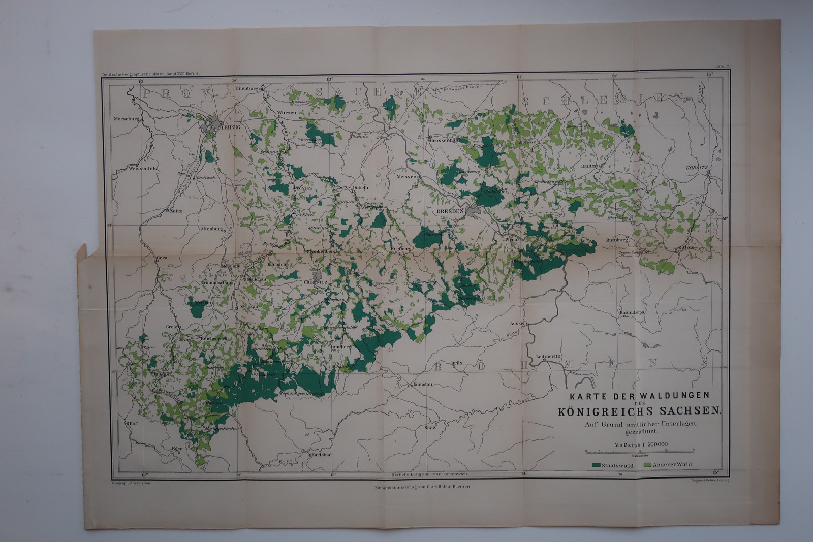
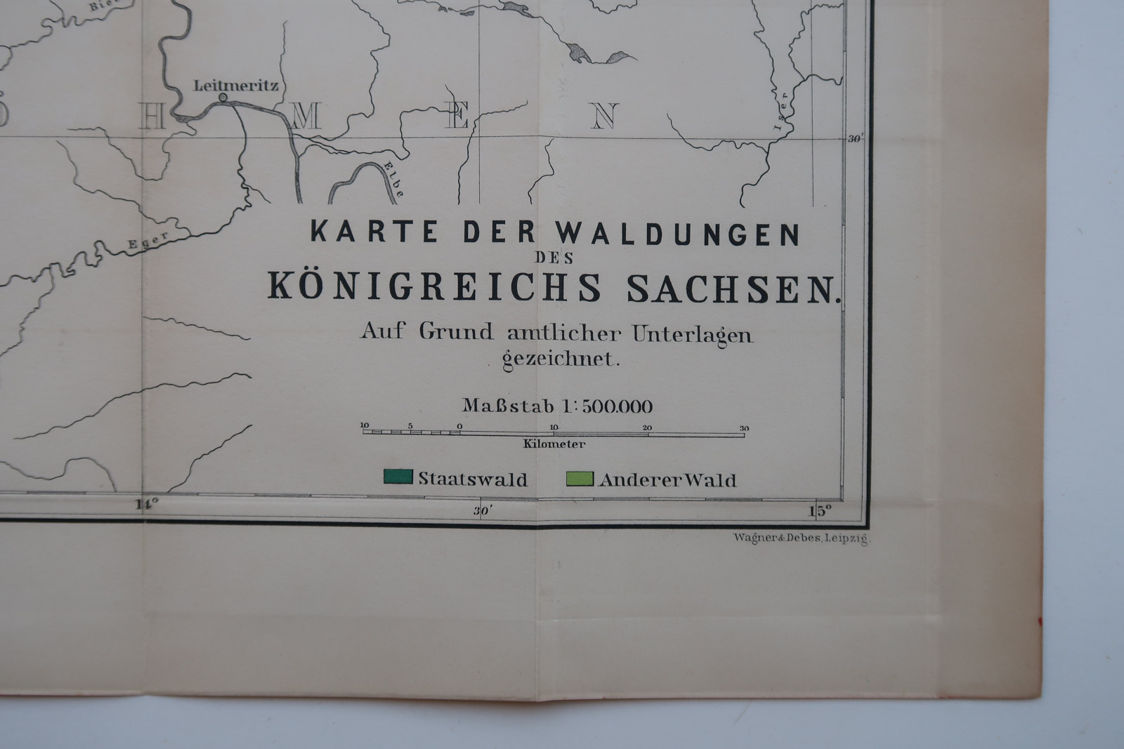
Map showing the forest areas in the Kingdom of Saxony in Germany c. 1890.
Made by Anonymous after Geogr. Gesellschaft.
Medium: Colour lithograph on wove (vellin) paper.
Sheet size: 50 x 37 cm (19.69 x 14.57 inch).
Condition: good, given age. Original folds as issued. General age-related toning and/or occasional minor defects from handling. Please study scan carefully.
FOREST-KINGDOM OF SAXONY-SACHSEN-GERMANY | PCO-B5-17
BACKGROUND INFORMATION
From ‘XI. Jahresbericht des Vorstandes der Geographischen Gesellschaft in Bremen.’ c.1891.


Reviews
There are no reviews yet.