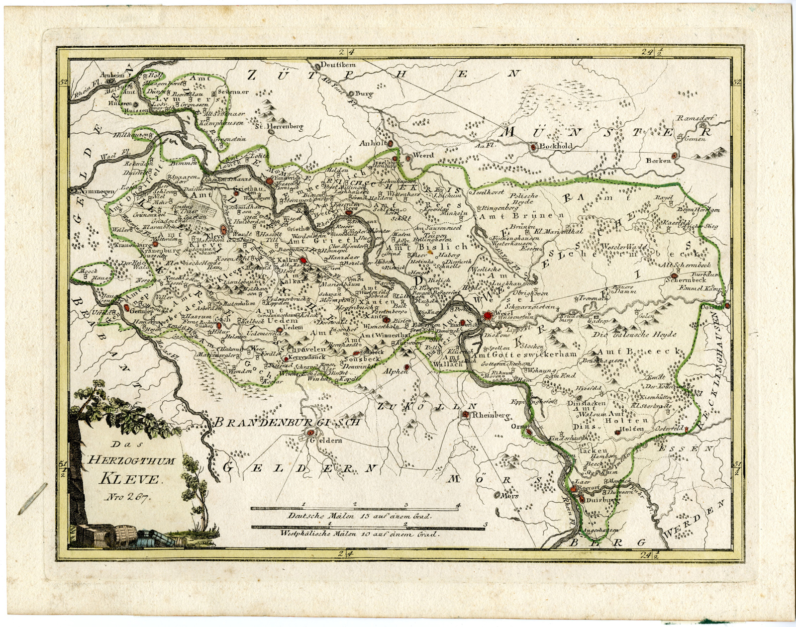
Antique Map-DUCHY OF CLEVES-KLEVE-GERMANY-von Reilly-1795

Print

195.00

‘DAS HERZOGTHUM KLEVE.’

– Original antique map of the Duchy of Cleves, a State of the Holy Roman Empire. The Duchy’s territory roughly covered the present-day German districts of Kleve (also called Cleves in English; northern part), Wesel and the city of Duisburg, as well as adjacent parts of the Limburg, North Brabant and Gelderland provinces in the Netherlands.

In stock

SKU: PICTURA-09278 Category: Tag:

Description

Medium: Engraving/etching with original old hand colouring on hand laid (verge) paper.

Sheet size: 37.4 x 29 cm (14.72 x 11.42 inch). Image size: 32.7 x 24.6 cm. (12.87 x 9.69 inch).

Condition: good, given age. Light foxing. General age-related toning and/or occasional minor defects from handling. Please study scan carefully.

DUCHY OF CLEVES-KLEVE-GERMANY | E24-01

BACKGROUND INFORMATION

Published in Germany 1795.

Biography artist: Franz Joseph Johann von Reilly (1766-1820) was a Vienna based art dealer. He is also known as the author of two atlases. .
Additional information

Dimensions 29 × 37 × 1 cm

Reviews

There are no reviews yet.

Be the first to review “Antique Map-DUCHY OF CLEVES-KLEVE-GERMANY-von Reilly-1795”

You might also like: