Antique Map-BRITTEN-KATWIJK-FORT-HUIS-NETHERLANDS-Anonymous-1745

Print

125.00

‘AALOUDE SCHILDERY VAN ?T HUIS TE BRITTEN, IN ?T HUIS VAN DE HEER VAN KATWIJK UIT HET HUIS VANDE HEER VAN WASSENAAR, HEER VAN DUIVENVOORDE.’

– Original antique print showing a oastal landscape with map of the foundations of the Huis te Britten near Katwijk in The Netherlands. According to the inscription made after a painting in the possession of the Heer van Katwijk, originating from the Heer van Wassenaar, Lord van Duivenvoorde.

In stock

SKU: PCO-27410 Category: Tag:

Description

Medium: Engraving/etching on hand laid (verge) paper.

Sheet size: 18.4 x 13.8 cm (7.24 x 5.43 inch). Image size: 17.2 x 13.2 cm. (6.77 x 5.2 inch).

Condition: good, given age. Attached to carrier sheet. General age-related toning and/or occasional minor defects from handling. Please study scan carefully.

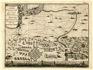
BRITTEN-KATWIJK-FORT-HUIS-NETHERLANDS | PCOA55-33

BACKGROUND INFORMATION

Source: unknown, to be determined.

Additional information

Dimensions 13 × 18 × 1 cm

Reviews

There are no reviews yet.

Be the first to review “Antique Map-BRITTEN-KATWIJK-FORT-HUIS-NETHERLANDS-Anonymous-1745”

You might also like: