
 Print
Print Description
Chromolithograph on wove (vellin) paper. on paper.
Size in cm: The overall size is ca. 23.6 x 19 cm. The image size is ca. 19.9 x 15.3 cm. Size in inch: The overall size is ca. 9.3 x 7.5 inch. The image size is ca. 7.8 x 6 inch.
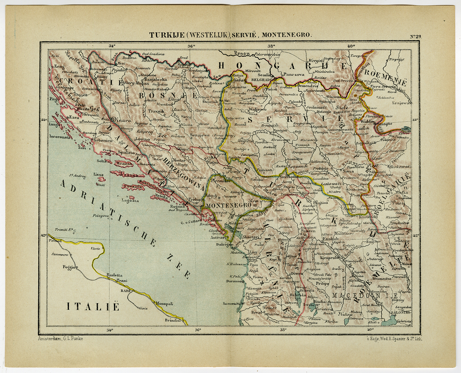
Antique map, titled: ‘Turkije (Westelijk), Servie, Montenegro.’ – Map of South-Eastern Europe, including Bosnia, Servia, Montenegro and part of Albania. “Wereld-atlas voor Kantoor en Huiskamer” (transl: World Atlas for the office and living room), by J. Kuyper, published in 1880 – 1882 in Amsterdam, The Netherlands by G. L. Funke.Artists and Engravers: Made by an anonymous engraver after ‘Jacob Kuyper’. Jacob Kuyper (1821 – 1908), Dutch cartographer.
Condition: Very good, given age. Original middle fold, as issued. General age-related toning and/or occasional minor defects from handling. Please study scan carefully.
Keywords: ANTIQUE MAP-BOSNIA-SERVIA-MONTENEGRO-ALBANIA-KUYPER
(PCO) C153-37

Reviews
There are no reviews yet.