

 Print
Print Description
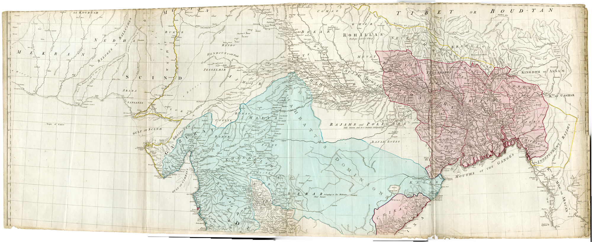
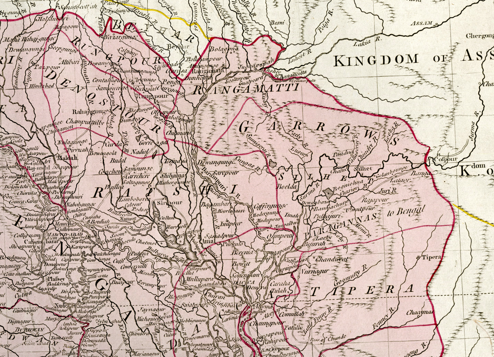
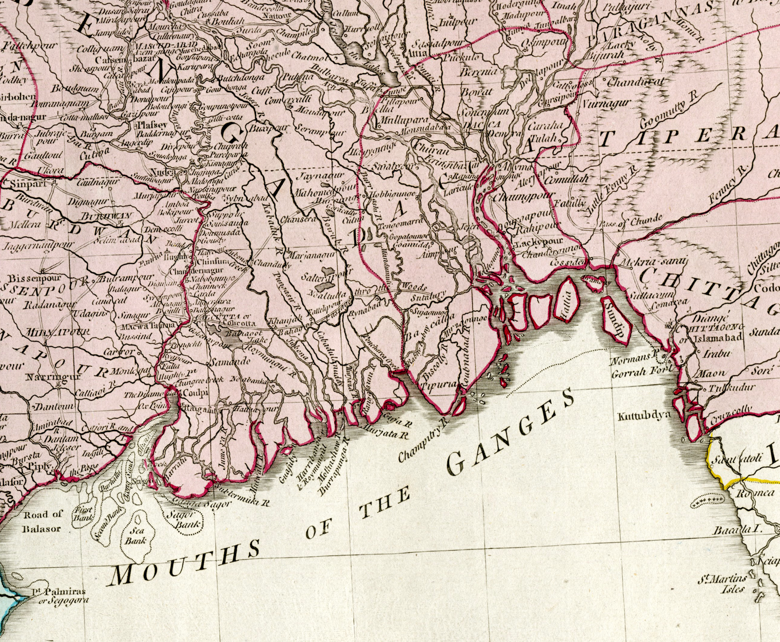
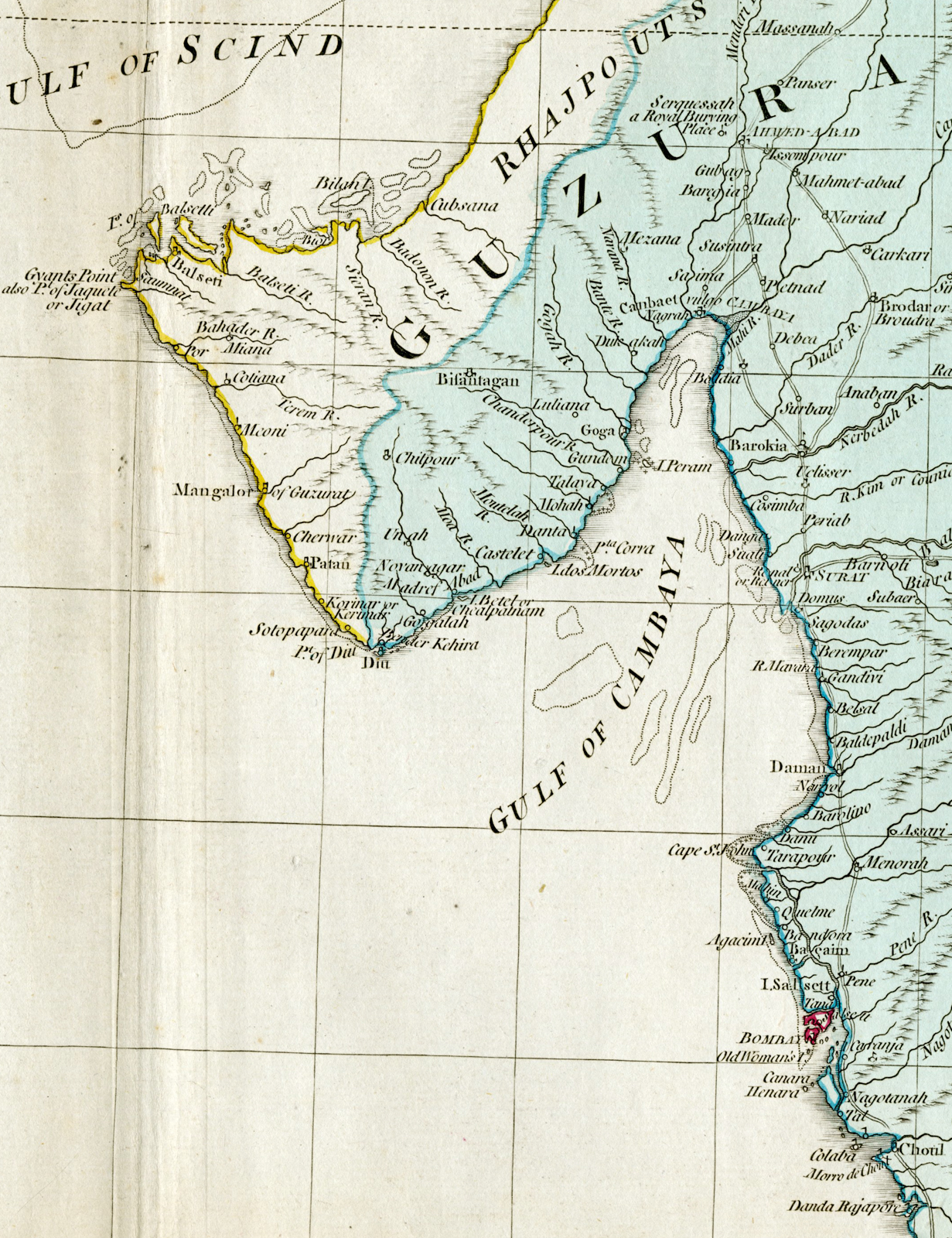
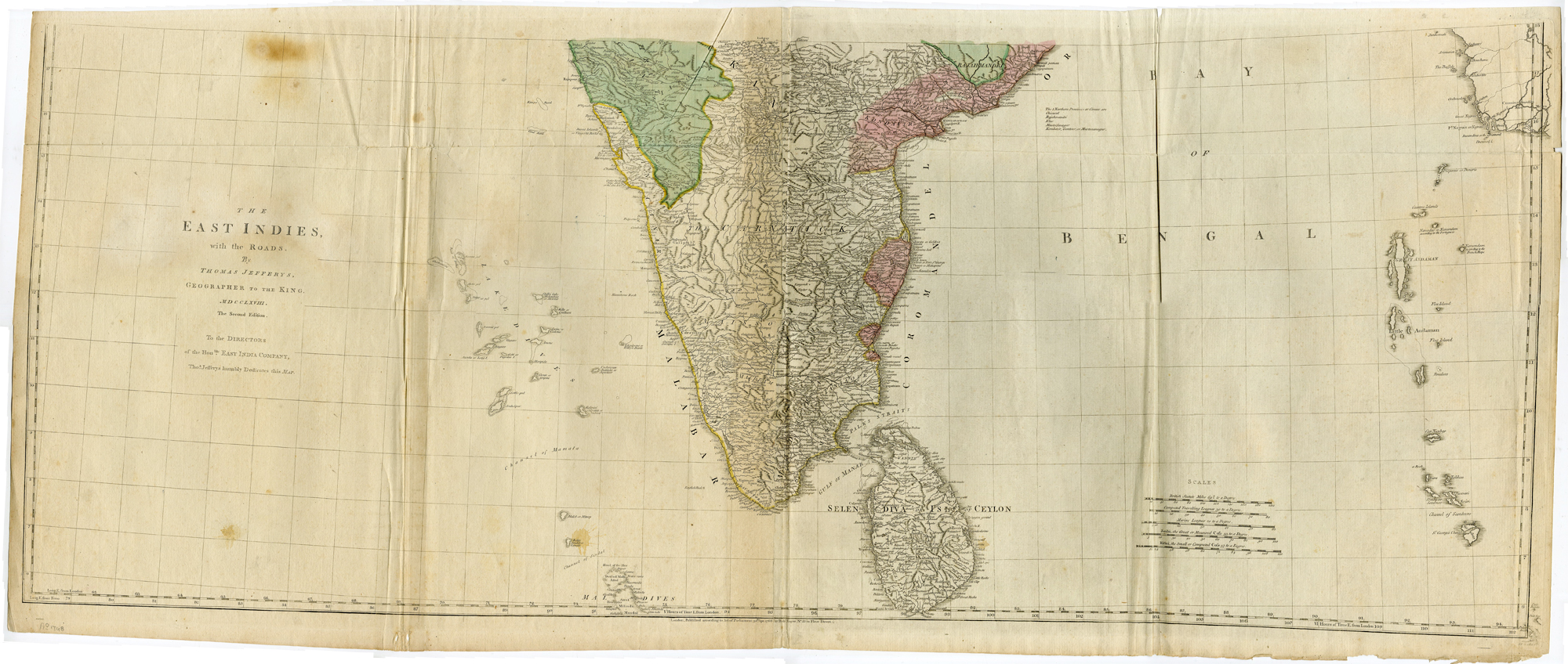
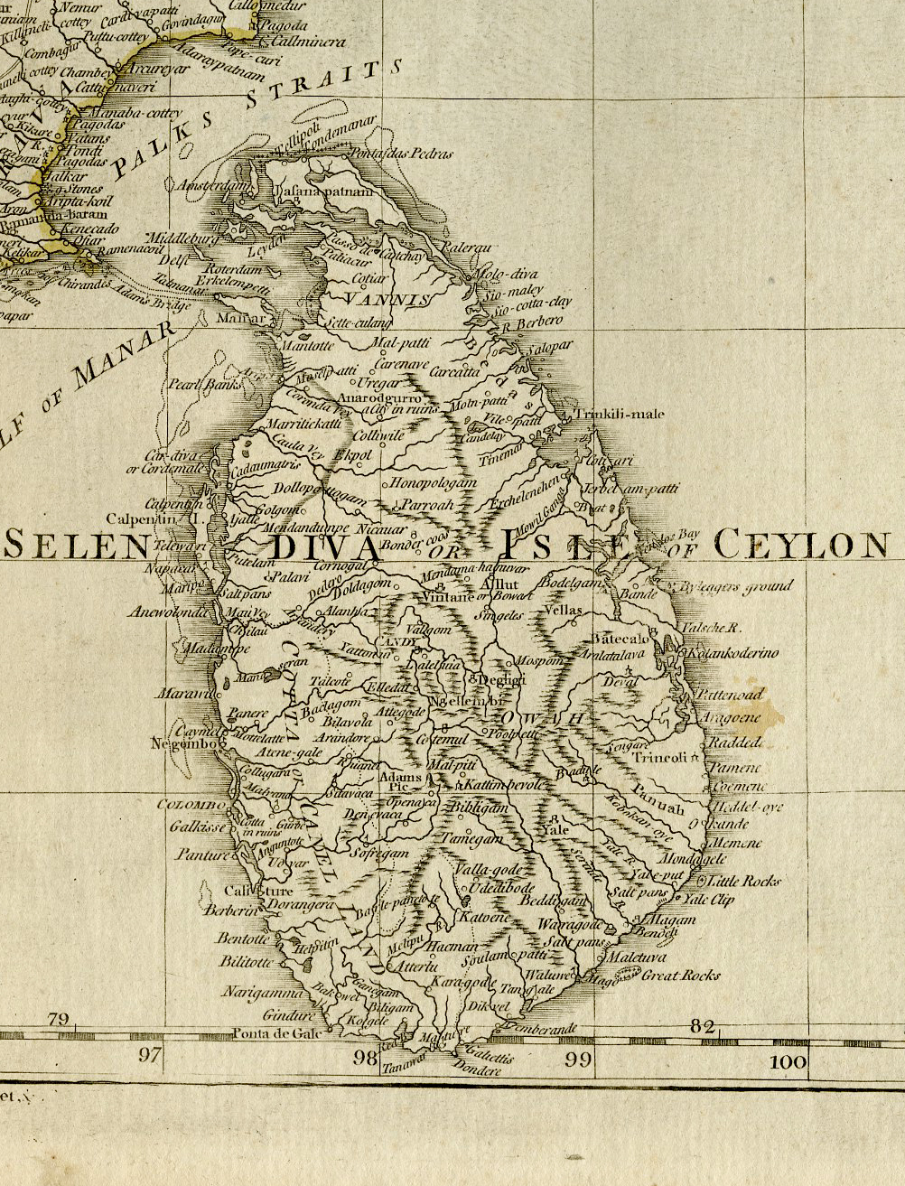
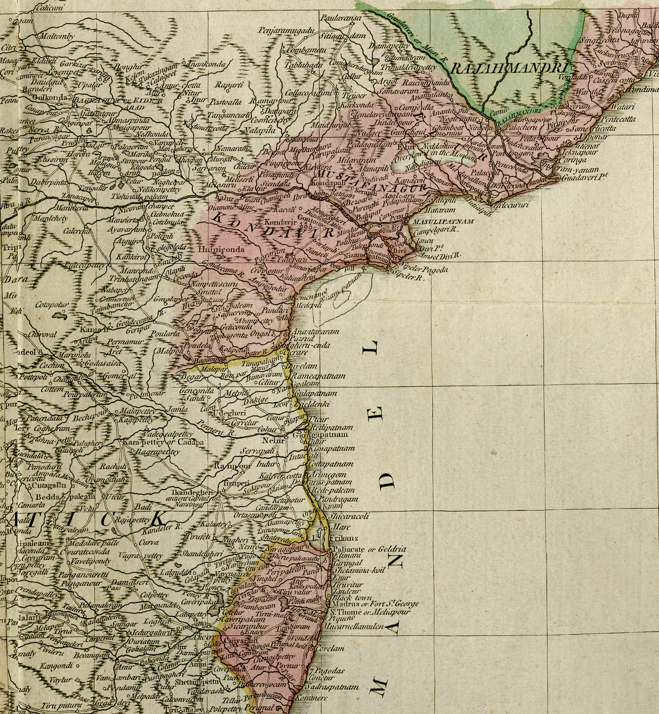
Original antique 2-sheet map of India and Ceylon (Sri Lanka). Jefferys’ map of India was the most detailed to date, and of great practical importance during a period of British expansion in the area. Areas under British control are designated with red on the map. The largest such area, most of present day Bangladesh, had then just been taken by force from the Nawab of Bengal in the Battles of Plassey (1757) and Buxar (1764). Also, at the time of printing, there was a war going on between Company forces and the Kingdom of Mysore; the contested territory that would eventually be ceded to the British is labeled ‘Maissore’ on the map. Also very prominent on the map is ‘Mahrattas Dominion,’ referring to the large Maratha Empire, a longstanding Hindu Empire that would go to war with the Company in 1772, eventually losing and leaving the majority of India in Company control by 1818. An important feature of the map is the indication of roads throughout both what is now India and Bangladesh.
Made by after an anonymous artist.
Medium: Engraving / etching with hand colouring on hand laid (verge) paper.
Sheet size: 140 x 109 cm (55.12 x 42.91 inch). Image size: 137 x 106.5 cm. (53.94 x 41.93 inch).
Condition: good, given age. No top margin 1st plate. Some small tears. A few brown stains. Browning of paper near middle fold lower part. Some crinkles or light creases. Original folds as issued. General age-related toning and/or occasional minor defects from handling. Please study scan carefully.
EAST INDIES-ROADS-INDIA-CEYLON-BANGLADESH | DPO-A2-003-45
BACKGROUND INFORMATION
Published in London by Robert Sayer, dated 1768.
Biography engraver: Thomas Jefferys (c.1719-1771), ‘Geographer to King George III’, was an English cartographer who was the leading map supplier of his day. He engraved and printed maps for government and other official bodies and produced a wide range of commercial maps and atlases, especially of North America.


Reviews
There are no reviews yet.