
 Print
Print Description
Medium: Engraving on hand laid (verge) paper. Watermark: Lotharingen cross.
Sheet size: 38.2 x 31.8 cm (15.04 x 12.52 inch). Image size: 34.7 x 27.5 cm. (13.66 x 10.83 inch).
Condition: very good, given age. Light foxing, creasing, and soiling. Original central fold as issued. General age-related toning and/or occasional minor defects from handling. Please study scan carefully.
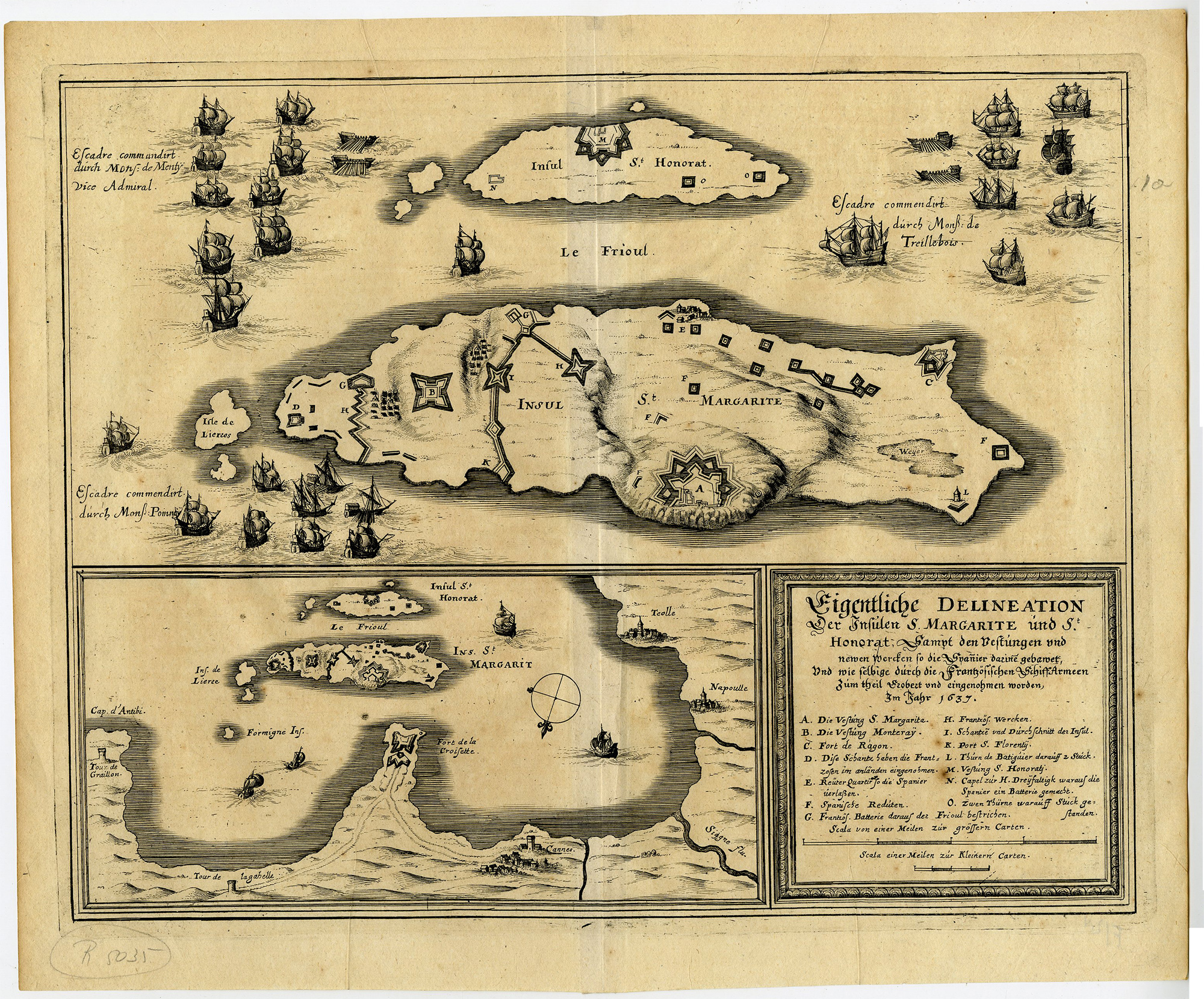
FRANCE MAP, ST. MARGARITE, ST. HONORAT, ÎLES DE LÉRINS, CANNES, MATTHÄUS MERIAN, FRANCO-SPANISH WAR, NAVAL BATTLE MAP, MEDITERRANEAN FORTIFICATIONS | PCO-A29-43
BACKGROUND INFORMATION
Published in Frankfurt as part of Matthäus Merian’s historical and topographical works concerning the Franco-Spanish conflicts.
Biography engraver: Matthäus Merian the Elder (1593–1650) was a Swiss-born engraver, publisher and cartographer active in Frankfurt. He became renowned for his detailed topographical views, city plans and historical engravings, notably in the Theatrum Europaeum and Topographia series.

Reviews
There are no reviews yet.