
 Print
Print Description
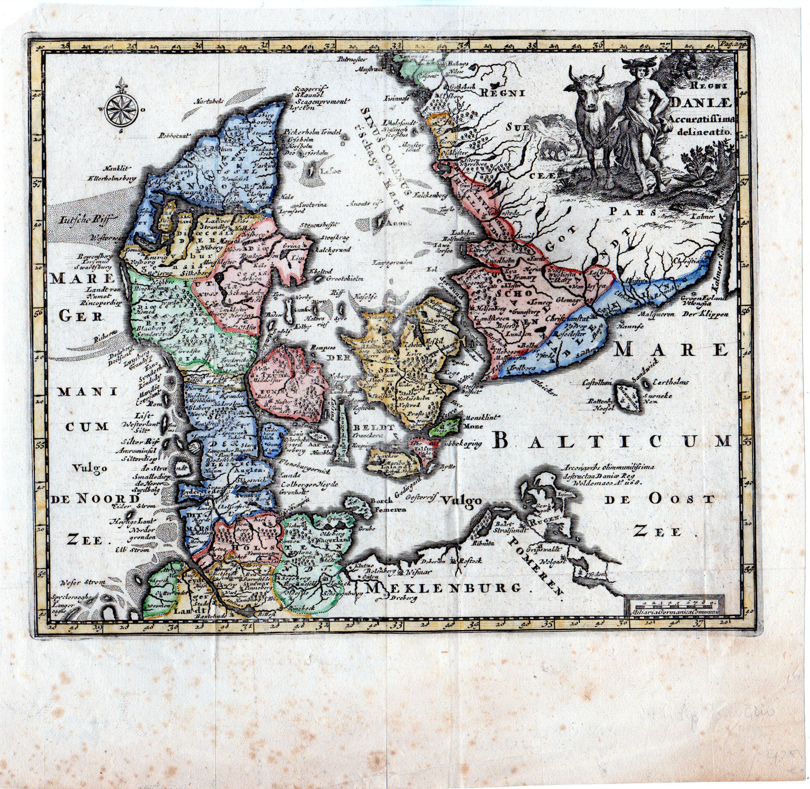
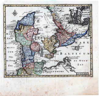
This print shows a view on a map of Denmark and the south part of Sweden.
Made by after an anonymous artist.
Medium: engraving with hand colouring on handlaid (verge) paper.
Sheet size: 27.7 x 27 cm (10.91 x 10.63 inch). Image size: 25 x 21 cm. (9.84 x 8.27 inch).
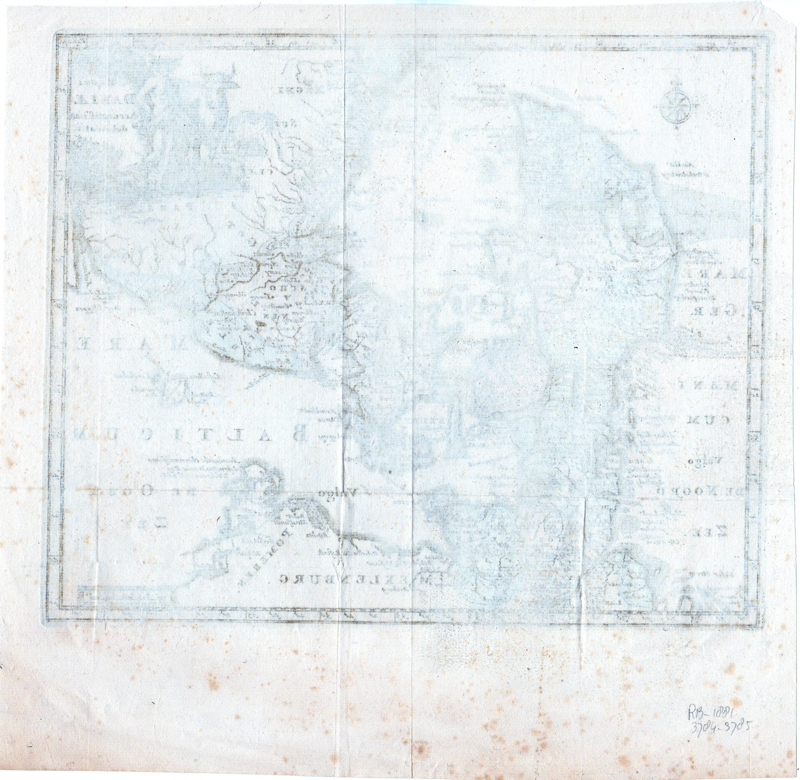
Condition: good, given age. Creases. Folds in lower corners and in middle. Lower margin brown spots. Folds as published. Upper left corner paper loss. General age-related toning and/or occasional minor defects from handling. Please study scan carefully.
MAP-EUROPE-DANMARK-SOUTH SWEDEN-SCANDINAVIA | RBOS-A10-38
BACKGROUND INFORMATION
This attractive print was published in Londen, in “Introductio In Universam Geographiam Tam Veterem Quam Novam Tabulis Geographicis…. LUGDUNI, 1710.” Edition P. Cluverius.
Biography engraver: John Senex (1678-1740) was an English cartographer, engraver and explorer. He was also an astrologer, geologist, and geographer to Queen Anne of Great Britain, editor and seller of antique maps and most importantly creator of the pocket-size map of the world.

Reviews
There are no reviews yet.