

 Print
Print Description
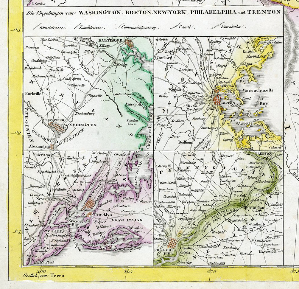
Medium: Engraving with outline color on hand-laid (verge) paper.
Sheet size: 50.5 x 42 cm (19.88 x 16.54 inch). Image size: 46 x 39.3 cm. (18.11 x 15.47 inch).
Condition: very good, given age. Light wear along the edges. Light foxing, creasing and soiling. Tear in the bottom left margin. Paper edges with some chipping. General age-related toning and/or occasional minor defects from handling. Please study scan carefully.
UNITED STATES, TEXAS REPUBLIC, 19TH-CENTURY MAP, PRE-TREATY OF GUADALUPE HIDALGO, AMERICAN CARTOGRAPHY, DR. F.W. STREIT, LEIPZIG MAP, HISTORICAL US MAP | EXPO-MAPS
BACKGROUND INFORMATION
Published by J.C. Hinrichs’sche Buchhandlung, Leipzig, 1843.
Biography artist: Dr. F.W. Streit was a German mathematician, cartographer, and engineer in the Prussian artillery.
![KING CHARLES I-HOUSE OF COMMONS-ENGLAND [After RUSSELL, 1780]](https://pictura-prints.com/wp-content/uploads/2019/04/pcom-10139-324x531.jpg)

![Emblem XXXII-Game of Love-Ball-Ring [After SNYDERS, 1626]](https://pictura-prints.com/wp-content/uploads/2019/04/pco-5031-324x496.jpg)


Reviews
There are no reviews yet.