
 Print
Print Description
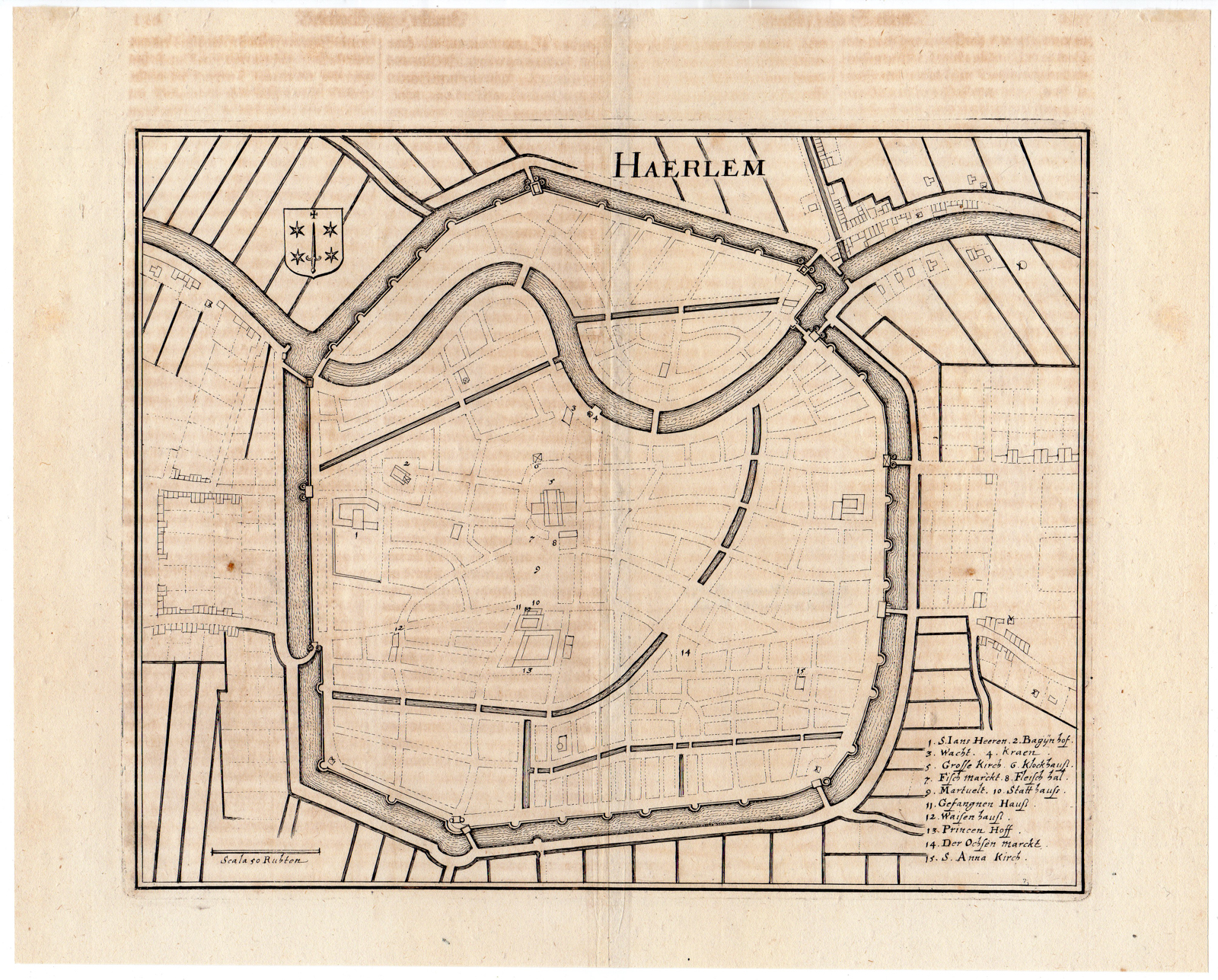
This print shows a map of Haarlem, North Holland, Netherlands, with the city coat of arms at the top left and a description in German of buildings in the lower right corner.
Made by after an anonymous artist.
Medium: Engraving on handlaid (verge) paper. Watermark: yes.
Sheet size: 23.5 x 26.7 cm (9.25 x 10.51 inch). Image size: 27 x 21 cm. (10.63 x 8.27 inch).
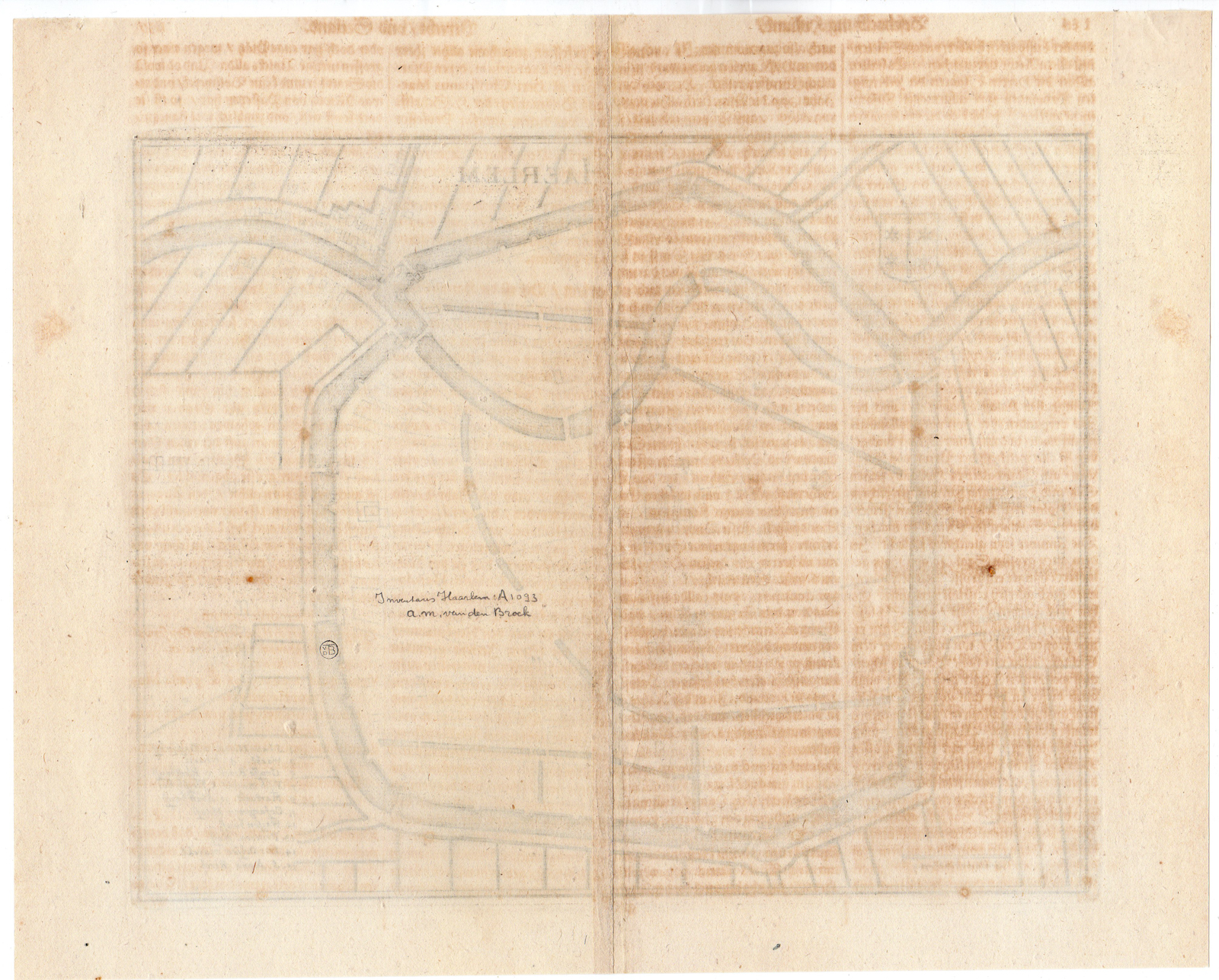
Condition: good, given age. Fold as published. Print on reverse in brown of previous page. Two brown spots. Tear in upper corner restored. General age-related toning and/or occasional minor defects from handling. Please study scan carefully.
MAP-HAARLEM-NORTH HOLLAND-NETHERLANDS-COAT OF ARMS | RBOS-A9-17
BACKGROUND INFORMATION
This attractive print was published by Martin Zeiler (1589 – 1661 and the Merian family in: “M. Z. Topographia Germaniae-inferioris vel Circuli-Burgundici” or “Beschreibung und Abbildung der fuurnembsten Orter in den Niderlandischen XVII Provincien oder Burgundischen Kraysse”.
Provenance: On the reverse the text in Dutch: “Haarlem A1093, a.m. van den Broek”. Collectorsstamp in circle vd B.


Reviews
There are no reviews yet.