
 Print
Print Description
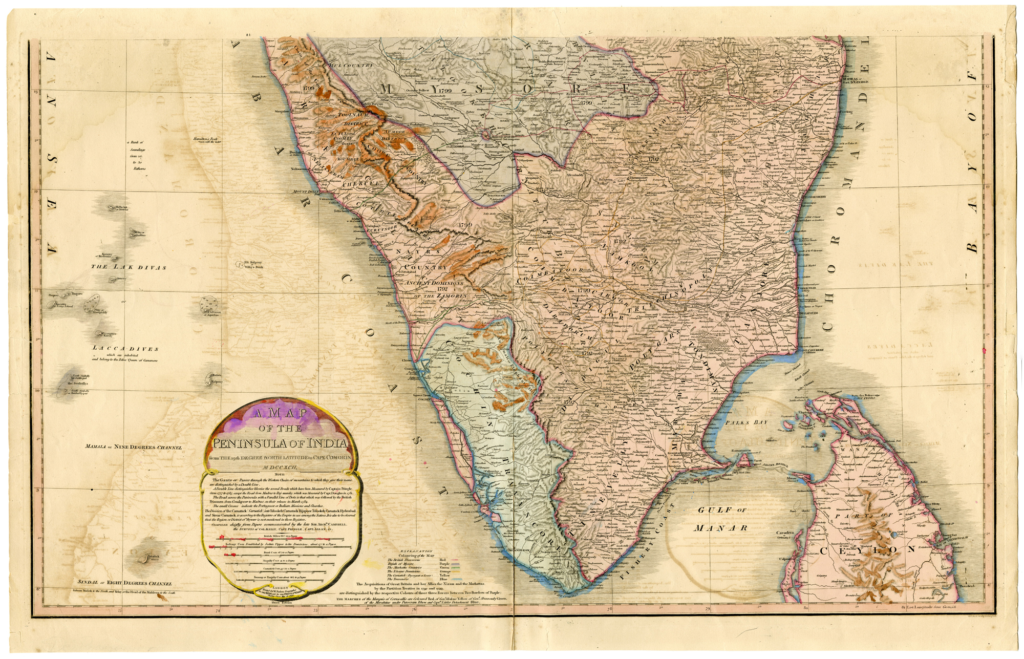
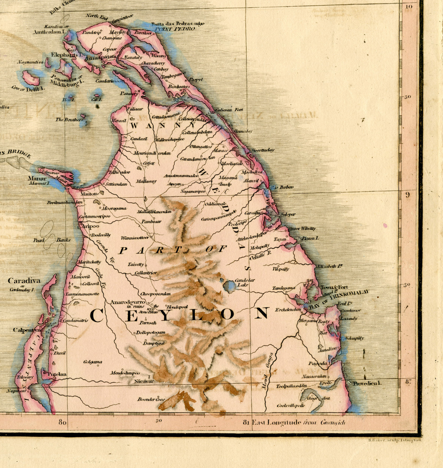
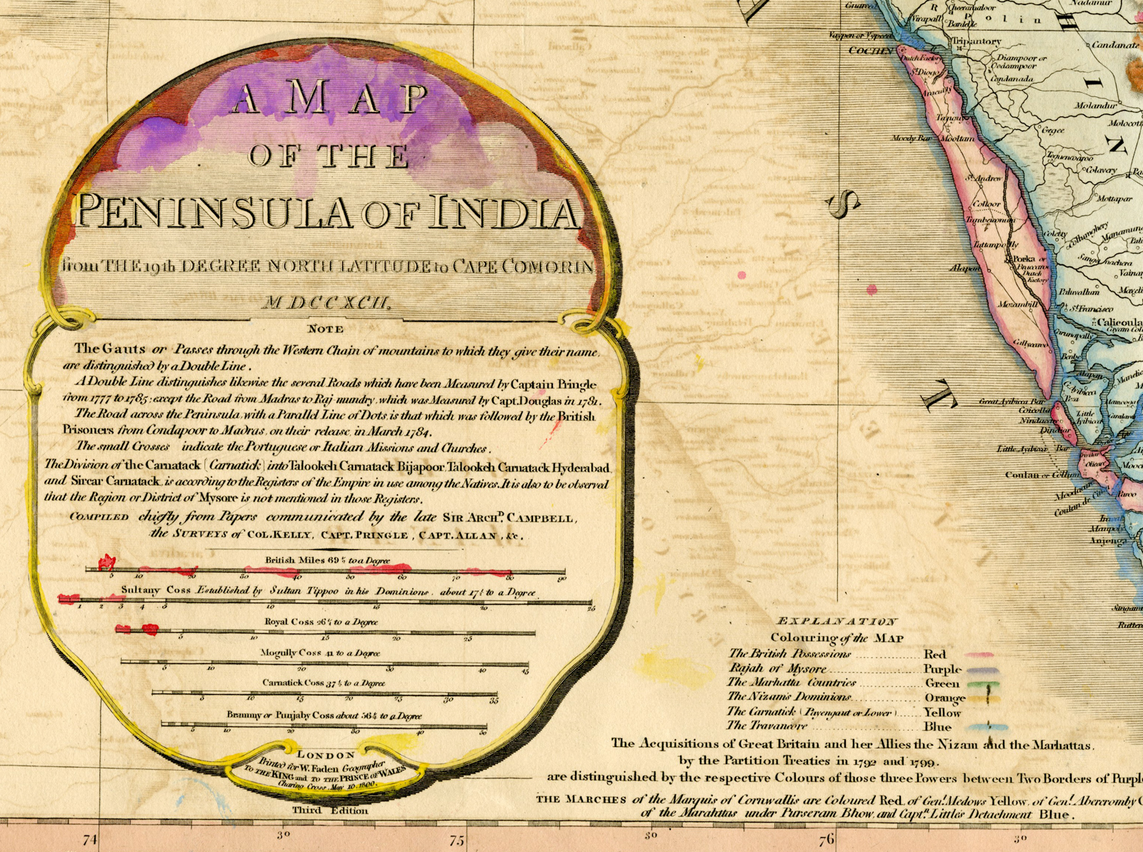
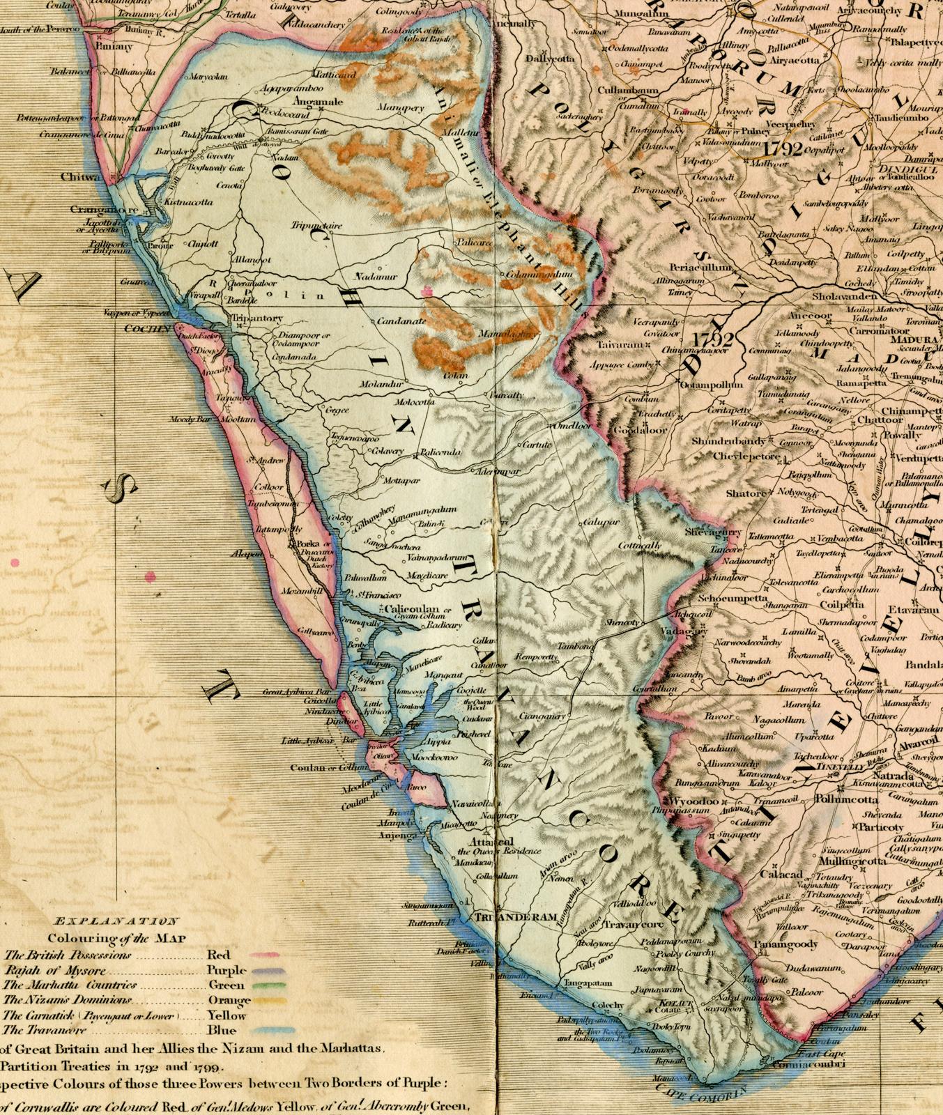
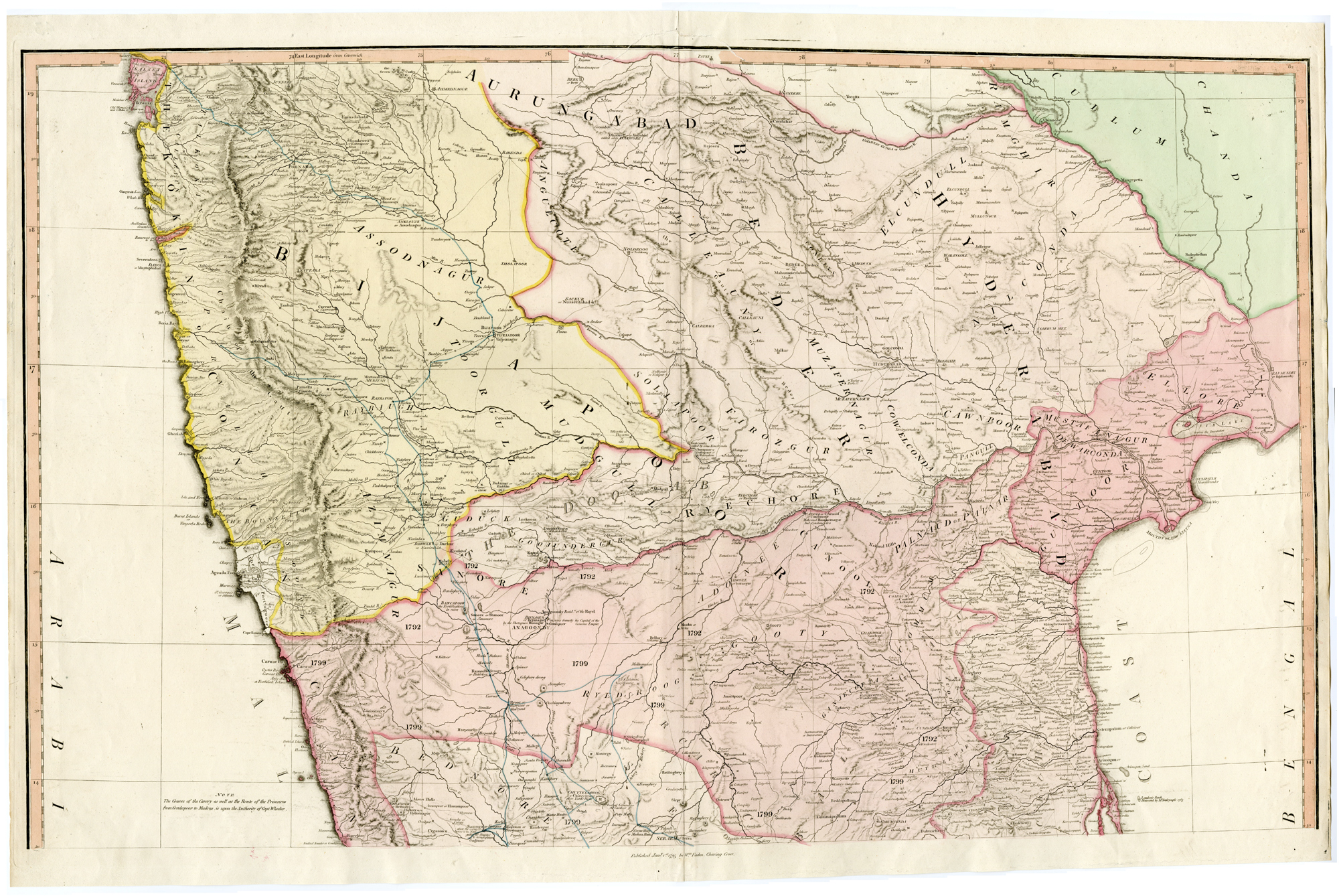
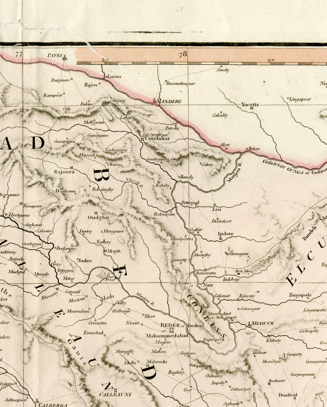
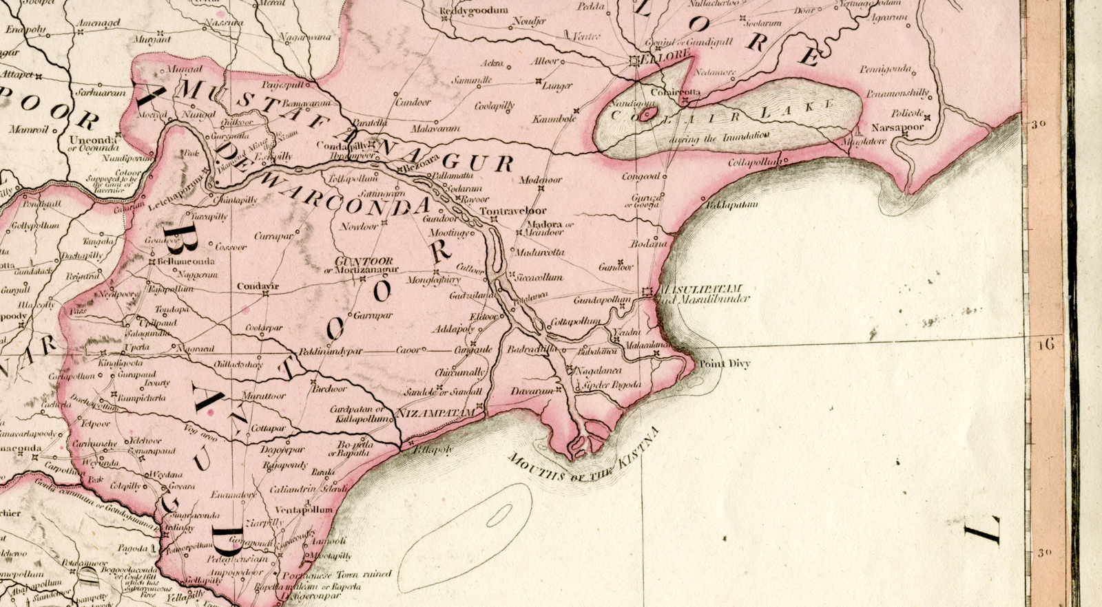
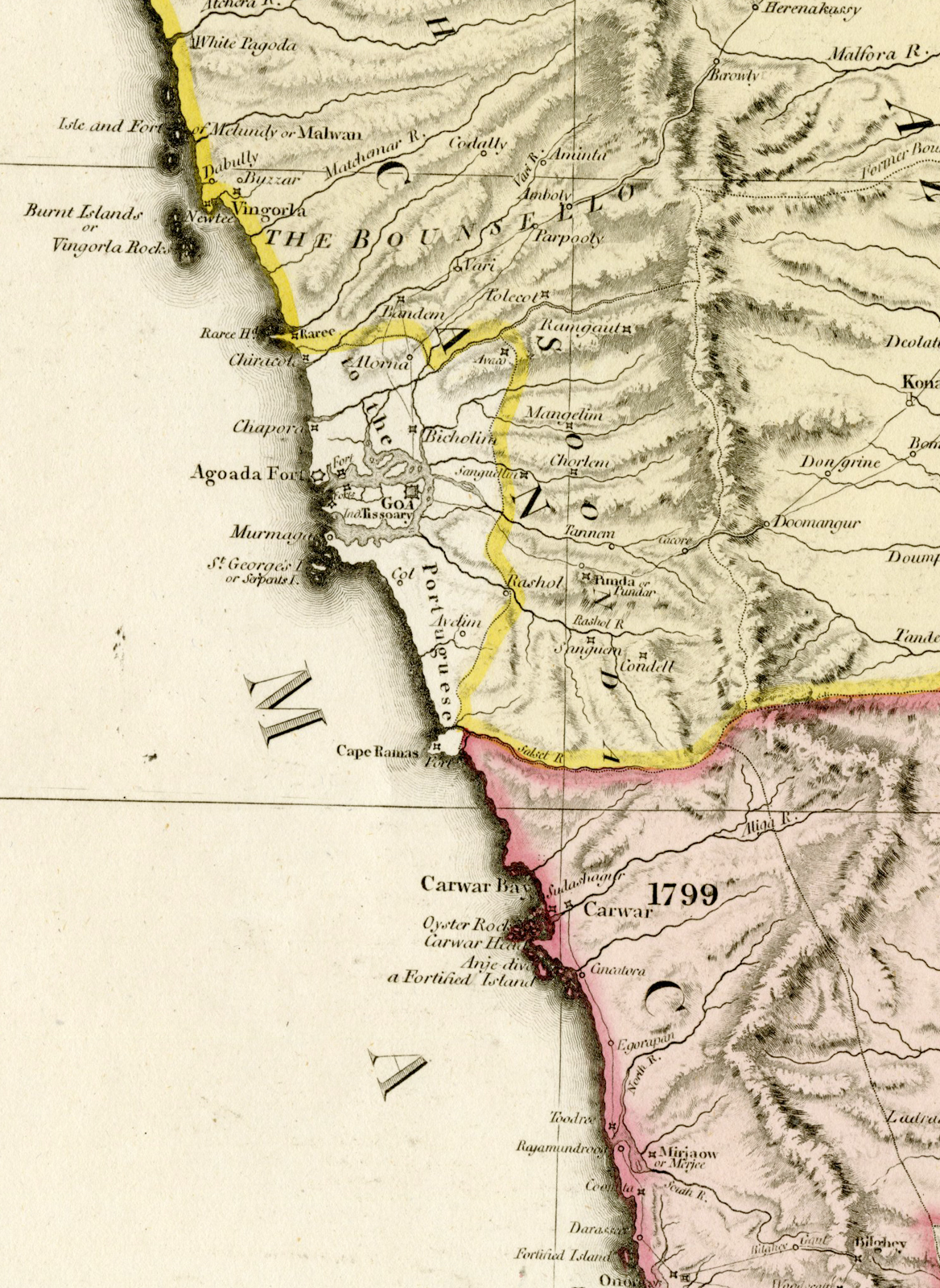
Original antique detailed 2-sheet map of India and a part of Ceylon (Sri Lanka), with original hand-color by regions. One of the most detailed maps of the period to appear in an atlas.
Made by after an anonymous artist.
Medium: Engraving / etching with hand colouring on hand laid (verge) paper.
Sheet size: 84 x 109 cm (33.07 x 42.91 inch). Image size: 82.5 x 100 cm. (32.48 x 39.37 inch).
Condition: good, given age. Edges with small tears, not affecting image. Tear at the top near middle fold in image, backed. Bottom map browned with some foxing. Repaired tears at the top near middle fold. Paper separation lower part, backed. Light damp staining. General age-related toning and/or occasional minor defects from handling. Please study scan carefully.
INDIA-PENINSULA-CEYLON-SRI LANKA | DPO-A2-003-044
BACKGROUND INFORMATION
Published in London, dated 1800.
Biography engraver: William Faden (1749-1836) was the most prominent London mapmaker and publisher of the late-eighteenth and early-nineteenth centuries. His father, William Mackfaden, was a printer who dropped the first part of his last name due to the Jacobite rising of 1745.


Reviews
There are no reviews yet.