
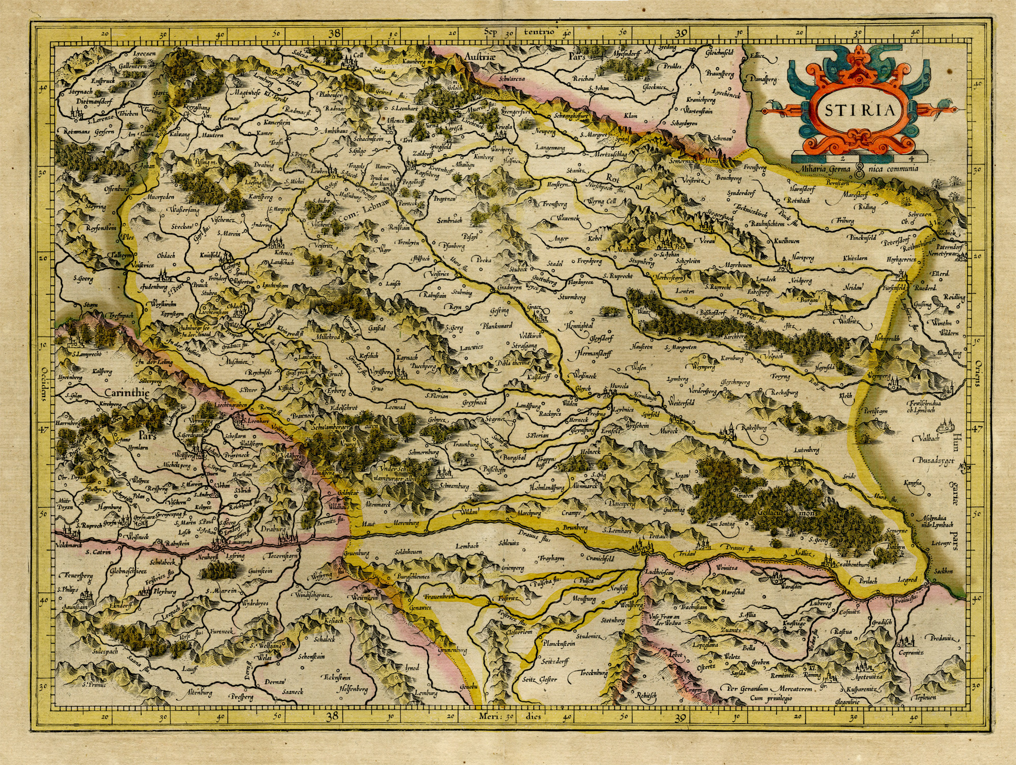
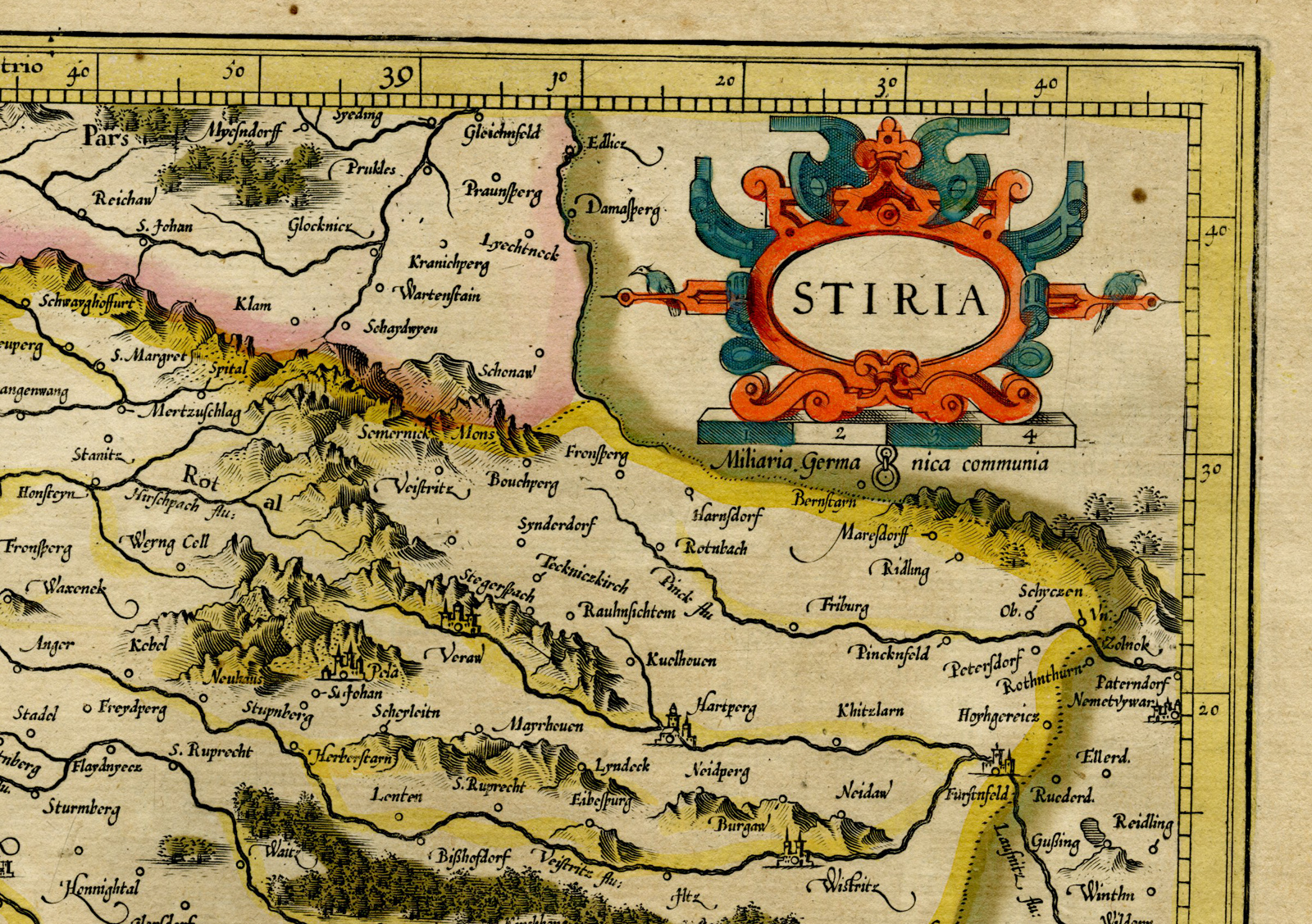
Description
This print shows a map of Stiria, Steyer in Stiermarken, Austria. Latin text on reverse.
Made by after an anonymous artist.
Medium: Engraving / original hand colouring on hand laid (verge) paper.
Sheet size: 57.5 x 47.5 cm (22.64 x 18.7 inch). Image size: 41.5 x 30.5 cm. (16.34 x 12.01 inch).
Condition: good, given age. Fold as published. Paper loss in lower and upper margin. Image fine. Browning. General age-related toning and/or occasional minor defects from handling. Please study scan carefully.
MAP-STIRIA-STEYER-STIERMARKEN-AUSTRIA | RB-T.29-LARGE
BACKGROUND INFORMATION
This attractive print was published in an atlas of 1623.
Biography engraver: Gerard Mercator (Kremer) was born in Rupelmonde in Flanders and studied in Louvain. He has drawn his first map in 1537 and became a cartographer and globe maker. In 1552 he moved to Duisburg, Germany where he published his famous 18-sheet world map in 1569 with his own new projection, today called Mercator projection. Later he decided to publish a new edition of Ptolemy’s Geographia. Followed by his major work, a 3 volume collection of maps to which the word ‘Atlas’ was applied the first time. The first volume was published 1585, followed by the second in 1589 and the third one after his death in 1595 by his son Rumold. A second edition of all three parts was published 1602. 1604 Jodocus Hondius acquired the plates and published several edition together with his sons Jodocus II and Henricus until 1633. More editions followed until 1666 by Janssonius who was in partnership with Henricus. Some of the plated where also used in W.J. Blaeu in 1630.


Reviews
There are no reviews yet.