
 Print
Print Description
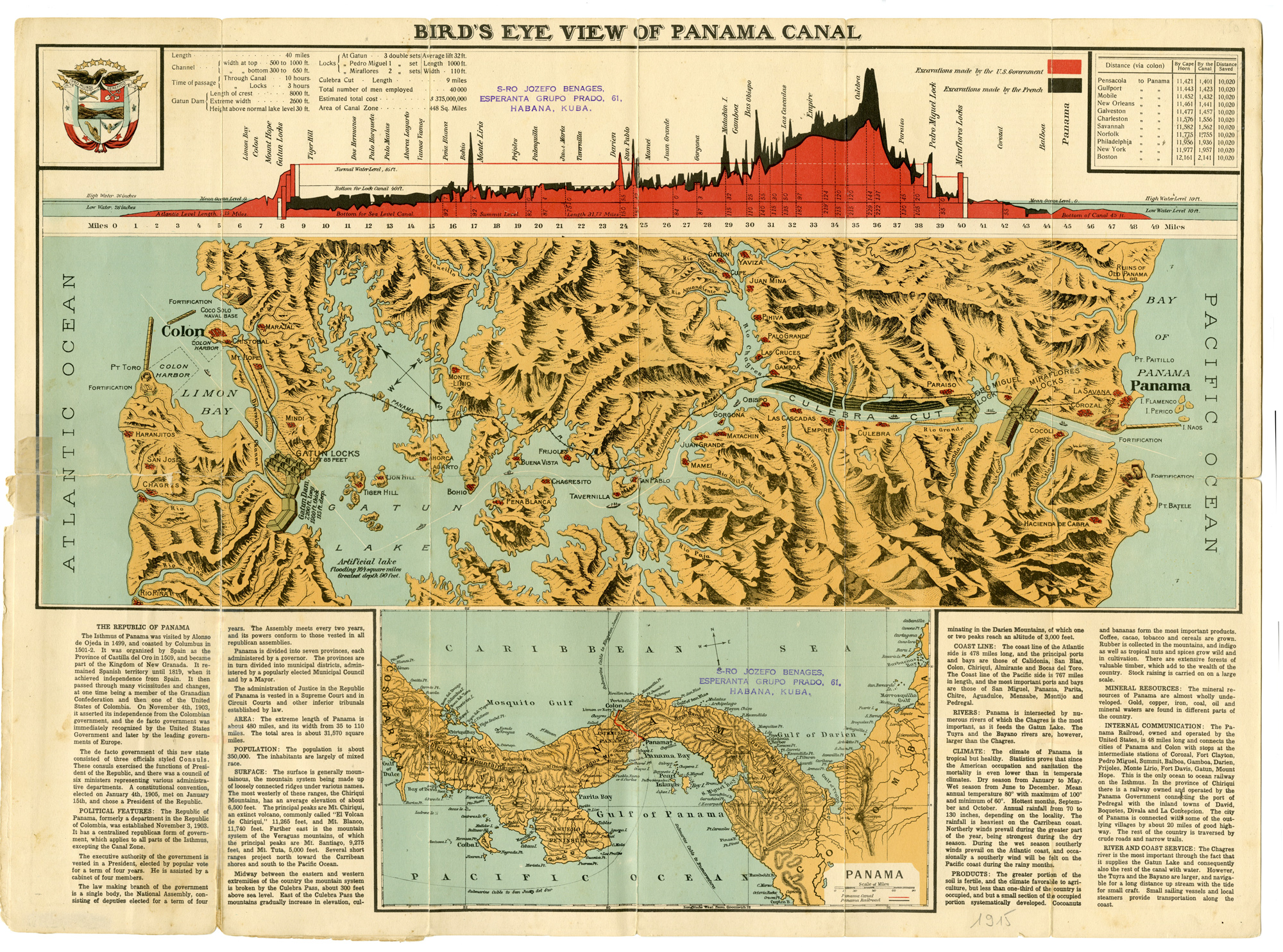
This print shows a folding chart which is a testament to the technological marvel that is the Panama Canal. One of the most complex engineering projects of all time, the canal could boast of the largest locks, the largest earth dam, largest man-made lake, and most amount of earth excavated during construction by the time it opened in 1914. This chart uses four separate maps and a bar chart. The central image shows the route of the canal from the Pacific to the Atlantic Oceans and labels locks, towns, and water features. Two inset maps at the bottom of the sheet are city plans of Colon and Panama; shown in large font at either end of the canal.
The third inset is a detailed political map of the country with the canal route highlighted in red. A chart across the top of the sheet shows the height profile of the excavation work performed by the French (black) and the U.S. Government (red). France began work on the canal in 1881, but stopped because of engineering problems and a high worker mortality rate. The United States took over the project in 1904 and opened the canal on August 15, 1914.
Made by Anonymous after own design.
Medium: Lithograph on wove paper.
Sheet size: 61.5 x 45.5 cm (24.21 x 17.91 inch). Image size: 59.5 x 43 cm. (23.43 x 16.93 inch).
Condition: fair, given age. Fold as published. Small tears in folds. General age-related toning and/or occasional minor defects from handling. Please study scan carefully.
MAP-PANAMA CANAL-PANAMA-TECHNOLOGICAL MARVEL-ENGENEERING | RB-T.29-LARGE
BACKGROUND INFORMATION
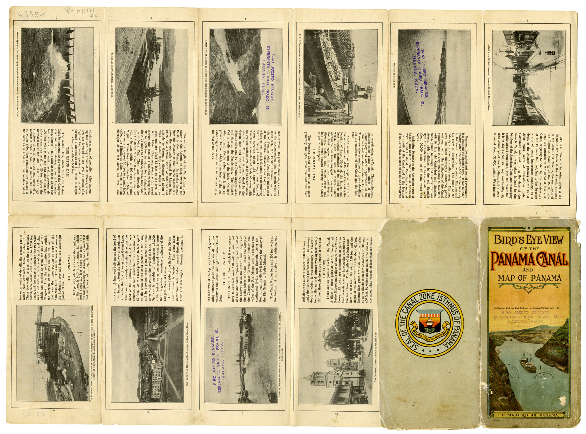
This attractive print was compiled and distributed by Isaac Levy Maduro, Jr., one of Panama’s most prolific postcard publishers in the first half of the 20th century. It was printed by the Curt Teich Company in Chicago and would have been sold at kiosks and small stores along the route of the canal. Ca 1915, just after the opening of the canal.
Provenance: Stamp of ownersmark from S-RO Jozefo Benages, esperanta grupo Prado 61, Habana, Kuba.


Reviews
There are no reviews yet.