

 Print
Print Description
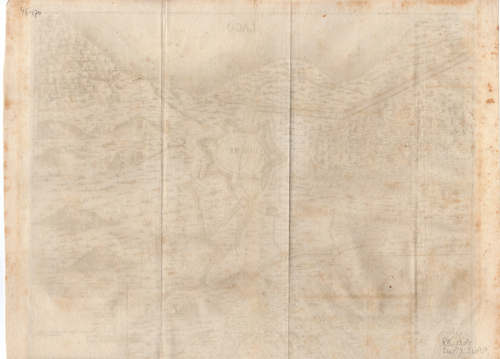
This print shows a map of Damm city of Pomerania besieged and taken by Baron de Juchee general of artillery 1659 on 17 September. Pomerania is a historical region on the southern shore of the Baltic Sea in Central Europe, split between Poland and Germany.
Made by after an anonymous artist.
Medium: engraving on hand laid (verge) paper.
Sheet size: 40.7 x 30.7 cm (16.02 x 12.09 inch). Image size: 36 x 28.5 cm. (14.17 x 11.22 inch).
Condition: good, given age. Folds as published. Brown spots. General age-related toning and/or occasional minor defects from handling. Please study scan carefully.
MAP-SIEGE DAMME-POMERANIA-BARON DE JUCHEE-GERMANY-POLAND-BALTIC SEA | RB-A8-29
BACKGROUND INFORMATION
This attractive print was published in the 17th century.



Reviews
There are no reviews yet.