

Description
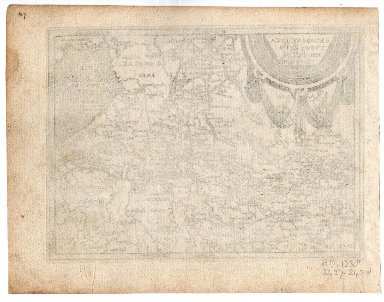
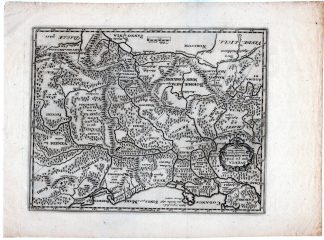
This print shows a Gelriae in the Netherlands and parts of Germany.
Made by Frans Hogenberg after own design.
Medium: Engraving / etching on hand laid (verge) paper.
Sheet size: 23.5 x 18 cm (9.25 x 7.09 inch). Image size: 19.5 x 14.5 cm. (7.68 x 5.71 inch).
Condition: good, given age. Brownish. Crinkles in left margin. Creases in right margin. Numbered in pen 39. Some tiny wormholes in top margin. General age-related toning and/or occasional minor defects from handling. Please study scan carefully.
MAP-GELDERLAND-GELRIAE-NETHERLANDS | RBOS-A8-18
BACKGROUND INFORMATION
This map is a reduced version of the map in Ortelius’ ‘Theatrum Orbis Terrarum’ and engraved by Frans Hogenberg c. 1579-1580. As this plate is unnumbered, and blank rear it is probably a first state and originates from an Anonymous work published in Cologne 1579/1580-1590: ‘Itinerarium Orbis Christiani.’ It was then later used in works by Georg Braun, Michael von Eitzing and Metellus in the period 1587-1602, with added numbering and often rear text.
Reference: Blonk-van der Wijst p.124-128 (based on similar map Hollandiae); Meurer IOC 1-4.
Biography engraver: Franz Hogenberg (1533-1588) was the son of a Munich engraver who settled in Malines. He engraved most of the plates for Ortelius’ Theatrum and the majority of those in the Civitates. He worked and died in Cologne/Germany. He was a prolific copper engraver and etching artist of maps and town views. In cooperation with Georg Braun he created the first four volumes of the ‘Civitates Orbis Terrarum’ in 1572.


Reviews
There are no reviews yet.