
 Print
Print Description
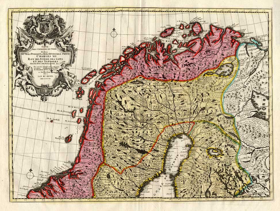
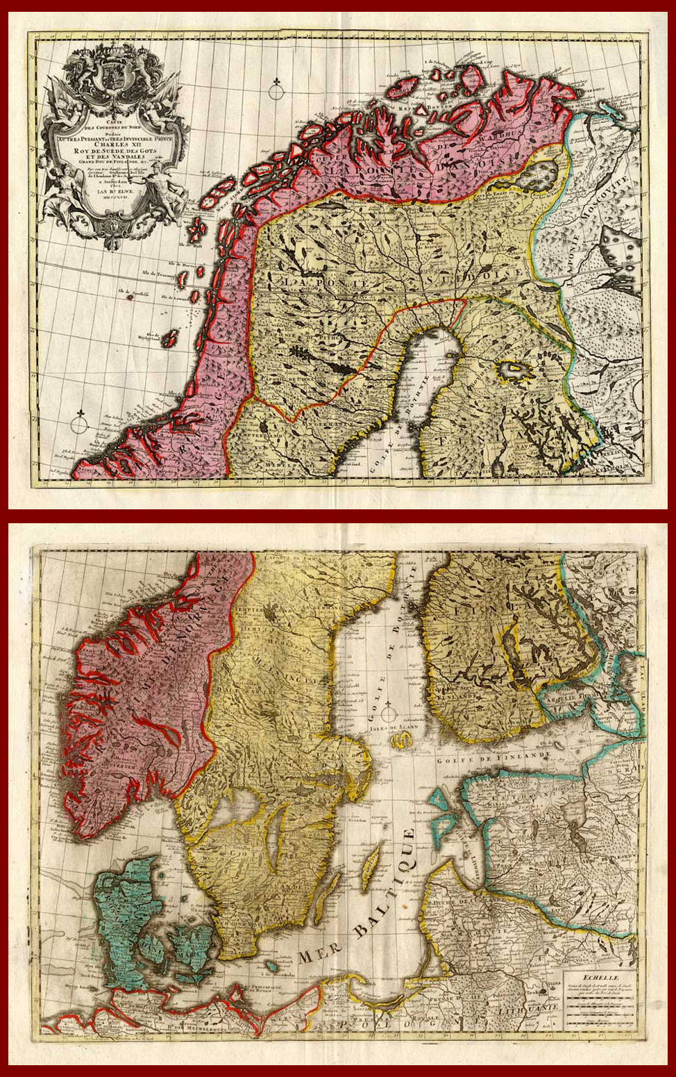
Engraved maps with original contemporary hand colouring, printed on a verge type hand laid paper. on paper.
Size in cm: The overall size is ca. 92 x 103 cm. The image size is ca. 60.5 x 44.5 cm. Size in inch: The overall size is ca. 36.2 x 40.6 inch. The image size is ca. 23.8 x 17.5 inch.
2 Original large maps together making one large map titled: ‘Carte des Courones du Nord … Prince Charles XII, roy de Suede … grand duc de Finlande … Guillaune de L’Isle … Chez Ian Bt. Elwe … MDCCXCII.’ This map shows the north and south of Sweden, Norway, Finland, Denmark, Latvia, Lithuania, Estonia and Russia. Maps could be pasted together. These original maps originate from an Atlas published in 1793 by J.B. Elwe. Artists and Engravers: The author of this atlas is Jan Barend Elwe (1774-1815), a Amsterdam bookseller. Ref: Koeman, Atlantes Neerlandici Vol. II, S. 105, El 2, 2. Tooley’s Dict. of Mapmakers.
Condition: Fine. General light age related toning, some false fold lines, as visible on scans. Map differs slightly from the illustrated image as it is merged from several scans. Size indicated is approx size of maps when pasted.
Keywords: 2 ANTIQUE MAPS-SWEDEN-NORWAY-FINLAND-ELWE
XXX-B1-05



Reviews
There are no reviews yet.