
 Print
Print Description
Copperplate engraving on verge type hand laid paper with watermark. on paper.
Size in cm: The overall size is ca. 61 x 51 cm. The image size is ca. 57 x 47.5 cm. Size in inch: The overall size is ca. 24 x 20.1 inch. The image size is ca. 22.4 x 18.7 inch.
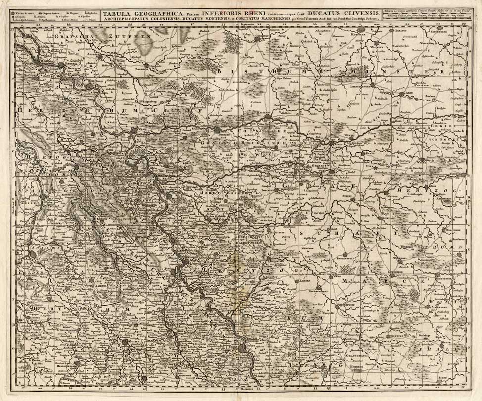
Map : ‘ Tabula geographica partem inferioris Rheni continens in qua sunt ducatus Clivensis’. (Map of Lower Rhine region in Germany.) Copper engraved map by N. Visscher of Lower Rhein region, Germany with relief shown pictorially. This map originates from: ‘Atlas minor sive geographia compendiosa qua orbis terrarum per paucas attamen novissimas tabulas ostenditur.’ Nicolaes Visscher, Amsterdam ca. 1680.Artists and Engravers: For nearly a century the members of the Visscher family were important art dealers and map publishers in Amsterdam. The founder of the business, C. J. Visscher, had premises near to those of Pieter van den Keere and Jodocus Hondius whose pupil he may have been. From about 1620 he designed a number of individual maps, including one of the British Isles, but his first atlas consisted of maps printed from plates bought from van den Keere and issued as they stood with some additions of his own, including historical scenes of battles and sieges for which he had a high reputation. Some maps bear the latinized form of the family name: Piscator. After Visscher’s death his son and grandson, both of the same name, issued a considerable number of atlases, constantly revised and brought up to date but most of them lacking an index and with varying contents. The widow of Nicholaes Visscher II carried on the business until it finally passed into the hands of Pieter Schenk.
Condition: Excellent. general age related toning. some light staining from handling or damp. Tiny wormhole backed.
Keywords: ANTIQUE MAP-RHINE-GERMANY-CLIVIA-VISSCHER
XXX-B3-03

Reviews
There are no reviews yet.