

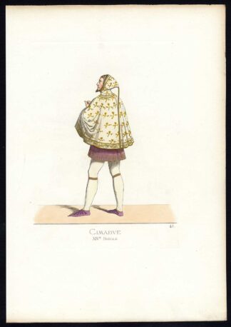
Description
Engraving and etching on a verge type hand laid paper. Outline hand colour. on paper.
Size in cm: The overall size is ca. 27.5 x 22 cm. The image size is ca. 23 x 19 cm. Size in inch: The overall size is ca. 10.8 x 8.7 inch. The image size is ca. 9.1 x 7.5 inch.
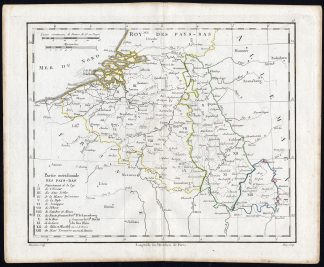
Map: ‘Partie meridionale des Pays-Bas.’ (Map of the Southern Netherlands, Belgium). This map originates from an Atlas by Didier Robert de Vaugondy or his successor De Lamarche, published ca. 1785.Artists and Engravers: Gilles Robert de Vaugondy (1688�1766), also known as Le Sieur or Monsieur Robert, and his son, Didier Robert de Vaugondy (c.1723�1786), were leading mapmakers in France during the 18th century. Engraved by Barriere.
Condition: Good. General age related toning and light staining. Original fold line from binding as issued. Please study scan carefully.
Keywords: ANTIQUE MAP-NETHERLANDS-BELGIUM-VAUGONDY
XXX-A5-01

Reviews
There are no reviews yet.