
 Print
Print Description
Engraving with contemporary hand colouring on hand laid paper. on paper.
Size in cm: The overall size is ca. 58 x 47 cm. The image size is ca. 53 x 41 cm. Size in inch: The overall size is ca. 22.8 x 18.5 inch. The image size is ca. 20.9 x 16.1 inch.
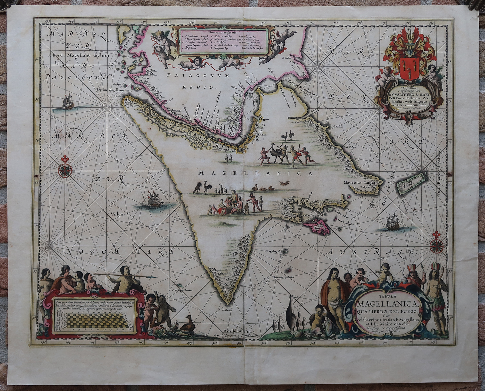
Antique map, titled: ‘Tabula Magellanica qua Tierrae del Fuego.’ – A map of the southern tip of South America, with focus on the island then known as Magellanica, Tierra del Fuego. Isla de los Estados (Staten Island) is also shown. The map features two compass roses and decorative cartouches featuring natives and wildlife (penguins). Source unknown, to be determined. State: Second state.Artists and Engravers: Made by an anonymous engraver after ‘Johannes Janssonius’. Johannes Janssonius also known as Jan Jansson (1588-1664) was born in Arnhem, Netherlands. His father was a bookseller and publisher (Jan Janszoon the Elder). When he married the daughter of the cartographer Jodocus Hondius he also set up a business as book publisher in Amsterdam. His first map was published in 1616. Around 15 years later he set up a partnership with his brother in law Hondius add issued further editions of the Mercator/Hondius atlas. After his death his heirs still have published several maps. Many of his plates have been acquired by Pieter Schenk and Gerard Valk.
Condition: Very good, given age. Original middle fold (as issued). Some small nicks in the margin edges. Margins soiled and with some small creases. A small dark stain in the far left and right edges of the image. A restoration with Japanese paper to the middle fold. General age-related toning and/or occasional minor defects from handling. Please study scan carefully.
Keywords: ANTIQUE MAP-SOUTH AMERICA-ARGENTINA-TIERRA DEL FUEGO-JANSSONIUS
(PCO) GK-241

Reviews
There are no reviews yet.