
 Print
Print Description
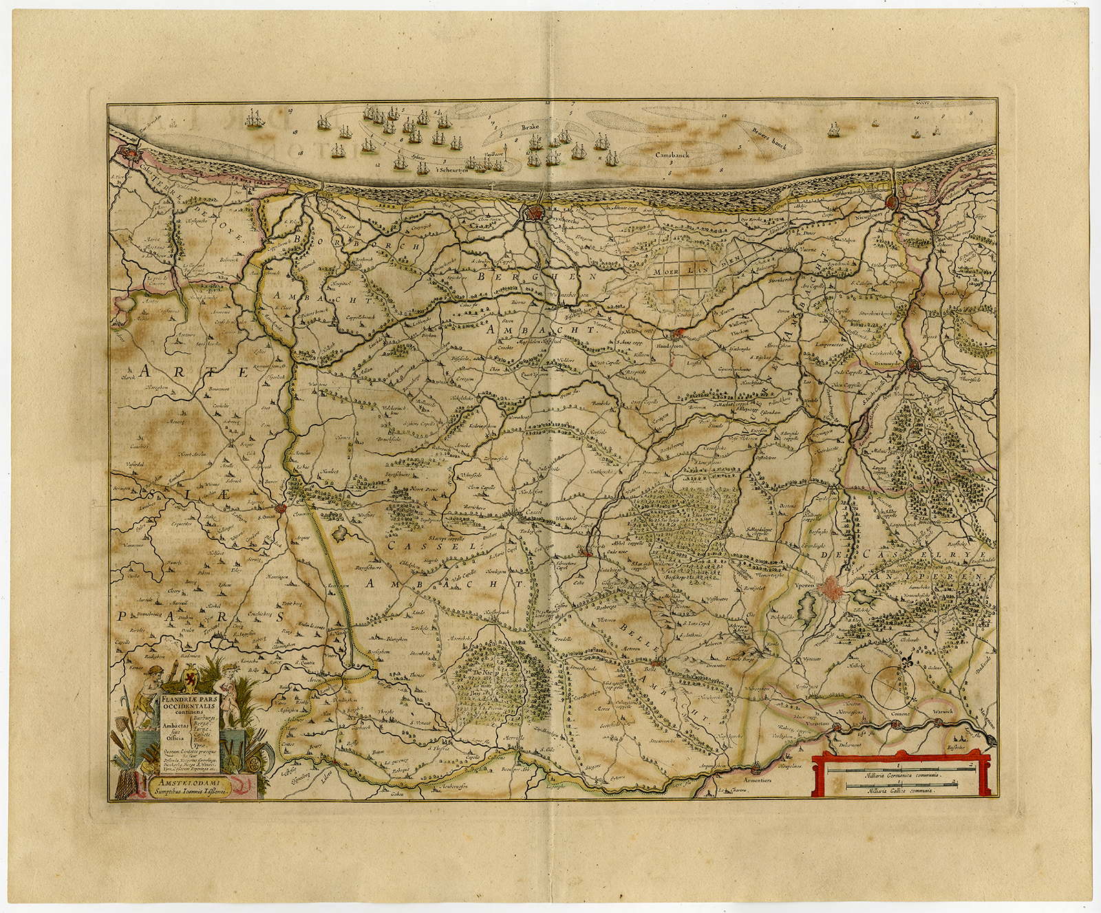
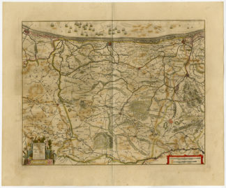
‘Flandriae pars occidentalis …’
Contemporary (original / old) hand coloured etching / engraving on hand laid paper. Watermark: We found no watermark. Paper appears from the Veluwe region in the Netherlands..
Sheet size: 58,5 x 48,5 cm. (23 x 19,1 inch). Image size: 50,2 x 40 cm. (19,8 x 15,7 inch).
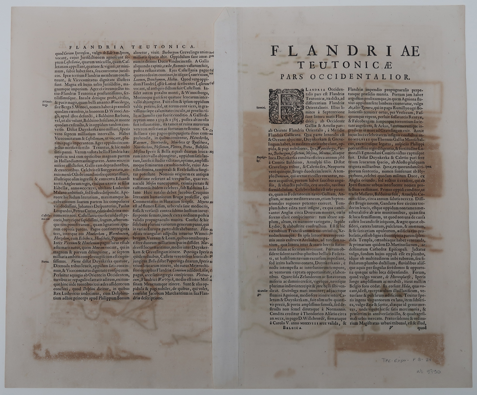
From: “Atlas Novus sive Theatrum Orbis Terrarum”, Amsterdam: Johannes Janssonius, 1647. This Atlas was published 1638-66. This item is from the 1647 latin ed. (Janssonius 1647 / 02-2020)
Made by ‘Janssonius workshop’ after ‘unknown carthographer’. Publisher: Johannes Janssonius also known as Jan Jansson (1588-1664) was born in Arnhem, Netherlands. His father was a bookseller and publisher (Jan Janszoon the Elder). When he married the daughter of the cartographer Jodocus Hondius he also set up a business as book publisher in Amsterdam. His first map was published in 1616. Around 15 years later he set up a partnership with his brother in law Hondius add issued further editions of the Mercator/Hondius atlas. After his death his heirs still have published several maps. Many of his plates have been acquired by Pieter Schenk and Gerard Valk.
Condition: Good, given age. Minimal paper separation at the lower middle fold margin, backed. Original middle fold as issued. Light brown offsetting from colours on oposing pages, as is common. General age-related toning and/or occasional minor defects from handling. Please study scan carefully.
Keywords: CALAIS-NIEUWPOORT-BELGIUM-SAINT OMER
TPC-Expo-P8-24



Reviews
There are no reviews yet.