
 Print
Print Description
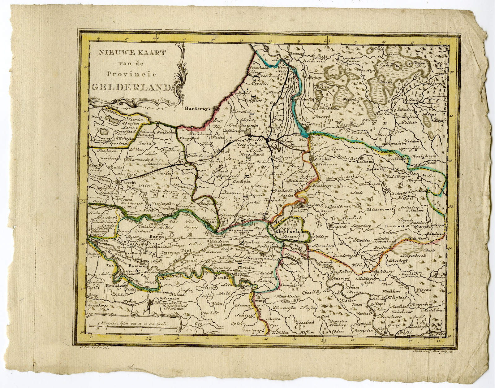
Medium: Engraving/etching with original old hand colouring on hand laid (verge) paper.
Sheet size: 27 x 20.5 cm (10.63 x 8.07 inch). Image size: 21.5 x 18 cm. (8.46 x 7.09 inch).
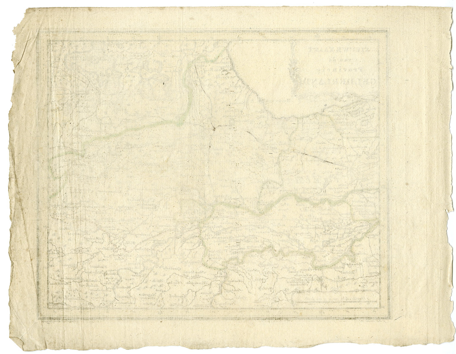
Condition: good, given age. Vertical creases right side. General age-related toning and/or occasional minor defects from handling. Please study scan carefully.
GELDERLAND-MAP-NETHERLANDS | LADENKAST-SHELVE 1
BACKGROUND INFORMATION
Published in The Netherlands, dated 1792.
Biography engraver: Hendrik Klockhoff (fl. c. 1777 – 1798) was an Amsterdam based engraver active in the latter part of the 18th century.

Reviews
There are no reviews yet.