
 Print
Print Description
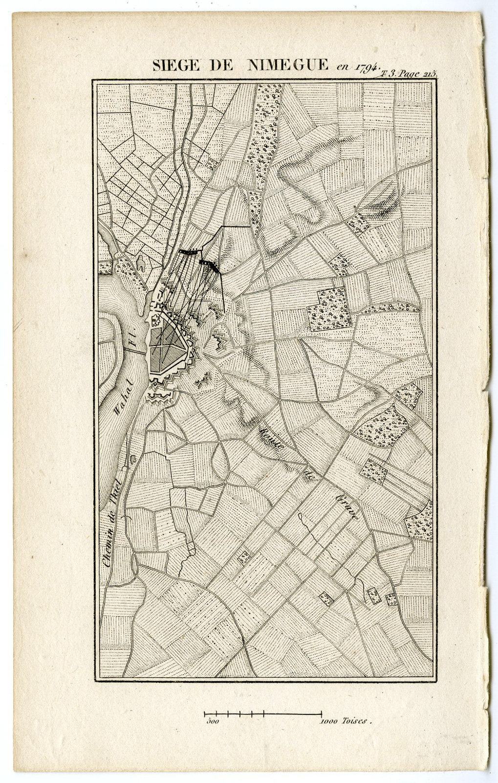
Medium: Engraving/etching on wove paper.
Sheet size: 12.5 x 20.3 cm (4.92 x 7.99 inch). Image size: 9.2 x 17.7 cm. (3.62 x 6.97 inch).
Condition: very good, given age. General age-related toning and/or occasional minor defects from handling. Please study scan carefully.
NIJMEGEN-SIEGE-NETHERLANDS | LADENKAST-SHELVE 1
BACKGROUND INFORMATION
Published in 1817 by Charles Louis Fleury Panckoucke for the publication Victoires & désastres des francais.
Biography artist: Charles-Joseph Panckoucke (1736-1798) was a French writer and publisher, notable for the Encyclopdie Methodique. His partner was Henri Agasse, married to his daughter Therese-Charlotte, who finished the last 166 volumes after Charles-Joseph died. His son Charles Louis Fleury Panckoucke continued in the writing and publishing business as well.

Reviews
There are no reviews yet.