
 Print
Print Description
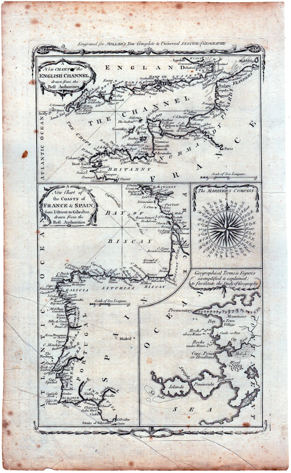
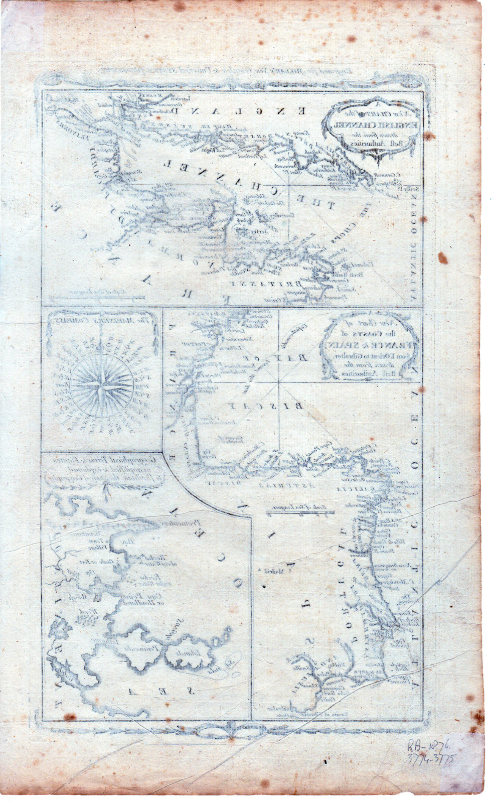
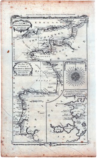
This print shows a view on a map of the British Channel.
Made by an anonymous engraver after Millar.
Medium: engraving on handlaid (verge) paper.
Sheet size: 23 x 38 cm (9.06 x 14.96 inch). Image size: 18.4 x 32 cm. (7.24 x 12.6 inch).
Condition: good, given age. Brown spots. Creases. Folds. General age-related toning and/or occasional minor defects from handling. Please study scan carefully.
EUROPE-THE CHANNEL-BRITISH-NORTH SEA-MAP | RBOS-A10-38
BACKGROUND INFORMATION
This attractive print was published by Alex Hogg, London for George Henry Millar’s New, Complete and Universal System of Geography, ca. 1790.

Reviews
There are no reviews yet.