
 Print
Print Description
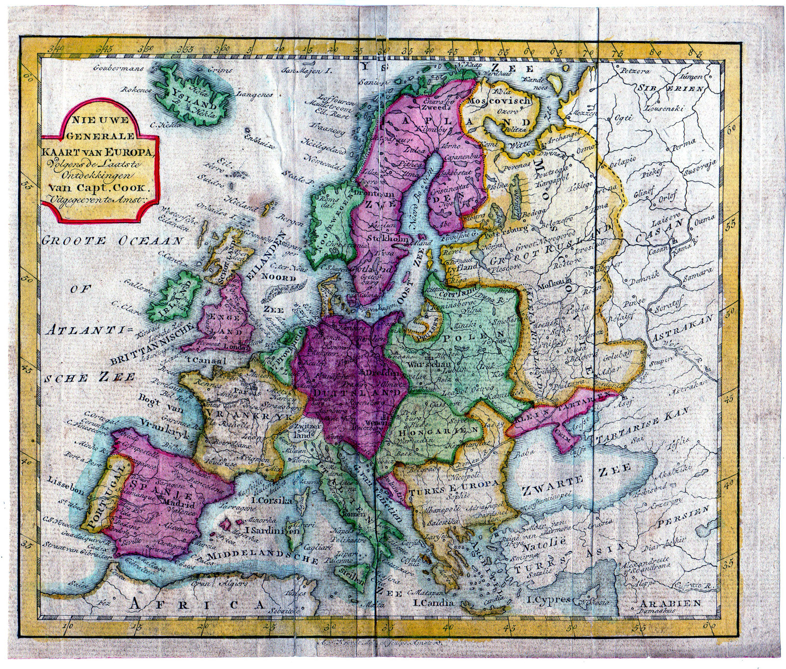
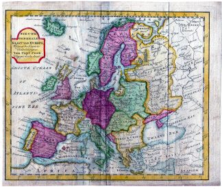
This print shows a view on a map of Europe.
Made by after an anonymous artist.
Medium: engraving on handlaid (verge) paper.
Sheet size: 23 x 19.5 cm (9.06 x 7.68 inch). Image size: 21.5 x 18 cm. (8.46 x 7.09 inch).
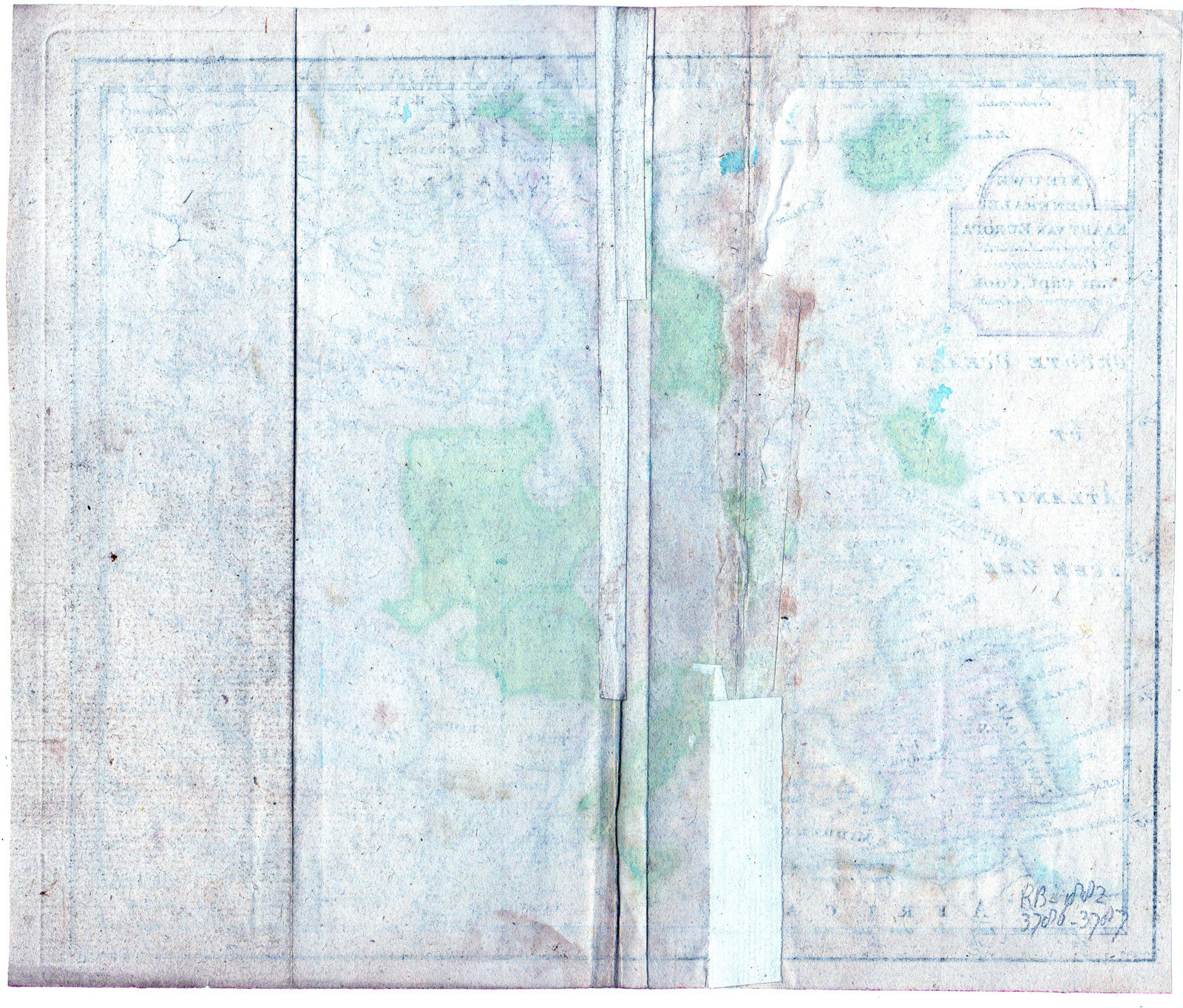
Condition: good, given age. Smudges. Old restoration of tear. Folds as published. Brownish. Thin spot. General age-related toning and/or occasional minor defects from handling. Please study scan carefully.
MAP-EUROPE-CAPTAIN COOK | RBOS-A10-38
BACKGROUND INFORMATION
This attractive print was published by Jan Barend Elwe in 1786. He was a Dutch book seller and publisher, active in Amsterdam at the end of the 18th century. He reissued maps by Sanson, Jaillot, de l’Isle and Ottens.
![CORNELIS SPEELMAN-INDONESIA-BATTLE [After VALENTIJN-VOC, 1724]](https://pictura-prints.com/wp-content/uploads/2019/03/pco-4025-324x517.jpg)

Reviews
There are no reviews yet.