
 Print
Print Description
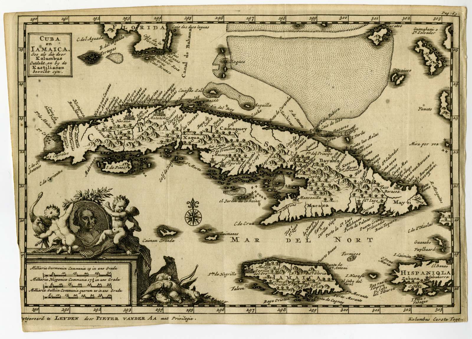
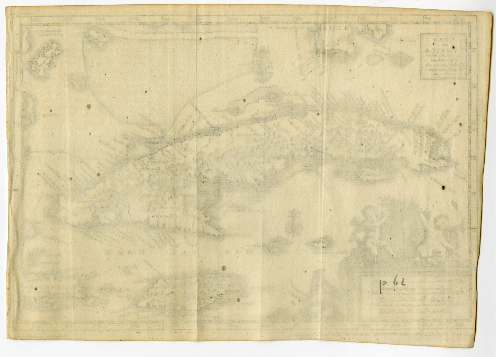
Medium: Copperplate engraving on hand laid (verge) paper. Watermark: Present, but not visible on all sheets.
Sheet size: 21 x 18 cm (8.27 x 7.09 inch). Image size: 17 x 13 cm. (6.69 x 5.12 inch).
Condition: very good, given age. General age toning, light staining, original folds as issued. General age-related toning and/or occasional minor defects from handling. Please study scan carefully.
CUBA, JAMAICA, COLUMBUS, CARIBBEAN, PIETER VAN DER AA, ANTIQUE MAP, HISPANIOLA, DUTCH EXPLORATION, 1706, MAP OF CUBA, MAP OF JAMAICA, EARLY AMERICA | PCO-C50-04
BACKGROUND INFORMATION
‘Naaukeurige Versameling der Gedenk-waardigste Zee en Land-reysen, na Oost en West-Indien, Mitsgaders andere Gewesten, ter eerster Ontdekking enn soo vervolgens van Verscheyde Volkeren, meerendels door Vorsten, of Maatschappyen Derwaarts gesonden, gedaan. Zedert het jaar 1492 tot 1499 …’, (transl.: Accurate accounts of memorable sea and land-voyages, to the East and West Indies and other regions, first discovering by different nations, mostly kings or companies send there. since 1492-1499.), published by Pieter Van Der Aa, Leiden 1706-1708. This particular print is from part of this book: ‘De roemwaardige scheeps-togt van Christoffel Kolumbus … in den Jare 1492 … West-Indische Landschappne … Antonius Herrera …’ (Transl.: Introduction to the famous voyages of the Castilians to discover the West Indies, first undertaken by Christopher Columbus in the year 1492, and continued by him in other voyages, after Antonius Herrera.) Pieter van der Aa (1659-1733) was a Dutch publisher best known for preparing maps and atlases, though he also printed pirated editions of foreign bestsellers and illustrated volumes. He also printed many maps that were often out of print, which he reissued.
Biography engraver: Jan Goeree (1670-1731) was a Dutch draughtsman, engraver, poet, and author, active mainly in Amsterdam. Son of Willem Goeree and pupil of Gerard de Lairesse.

Reviews
There are no reviews yet.