

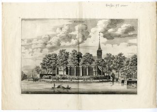
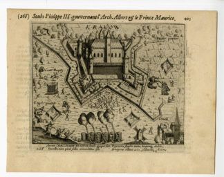
Description
Medium: Engraving/etching on hand laid (verge) paper.
Sheet size: 28.5 x 21 cm (11.22 x 8.27 inch). Image size: 24.3 x 17 cm. (9.57 x 6.69 inch).
Condition: very good, given age. Original folds as issued. General age-related toning and/or occasional minor defects from handling. Please study scan carefully.
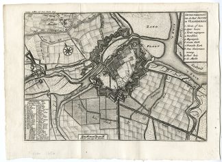
SLUYS-SLUIS-FORTIFICATION-ZEELAND-PLAN-NETHERLANDS | PCOA55-21
BACKGROUND INFORMATION
Published by Isaak Tirion, Amsterdam, c. 1750.
Biography artist: Isaak Tirion (1705-1765) was a Dutch publisher and cartographer based in Amsterdam. He produced various atlases and topographical works, known for their high-quality engravings and geographical accuracy. His maps were often based on the work of leading French cartographer Guillaume de l’Isle.


Reviews
There are no reviews yet.