
 Print
Print Description
Medium: Engraving/etching on hand laid (verge) paper.
Sheet size: 25.5 x 20.3 cm (10.04 x 7.99 inch). Image size: 23.2 x 15.4 cm. (9.13 x 6.06 inch).
Condition: good, given age. Slightly damp-stained top right. Soft vertical crease. General age-related toning and/or occasional minor defects from handling. Please study scan carefully.
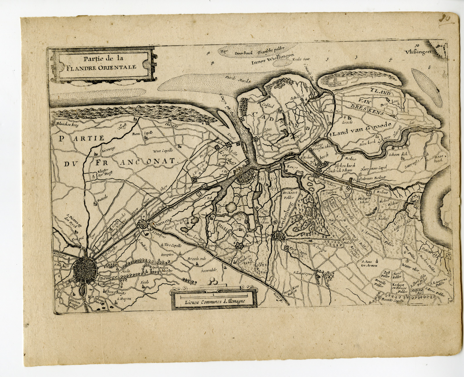
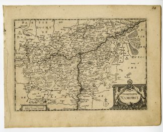
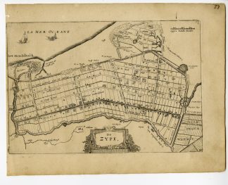
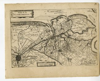
RARE ANTIQUE MAP-FLANDRE ORIENTALE-BELGIUM-EAST FLANDERS-BRUGGE | PCOA55-07
BACKGROUND INFORMATION
This rare antique map originates from: ‘Vyerige Colom verthonende de 17 Nederlandsche Provintien.’, published by Jacob Aertsz. Colom, Amsterdam, c. 1635.
Biography artist: Author: Jacob Aertsen (Aertsz.Colom, 1599-1673), Dutch printer, bookseller, publisher, poet and cartographer.

Reviews
There are no reviews yet.