
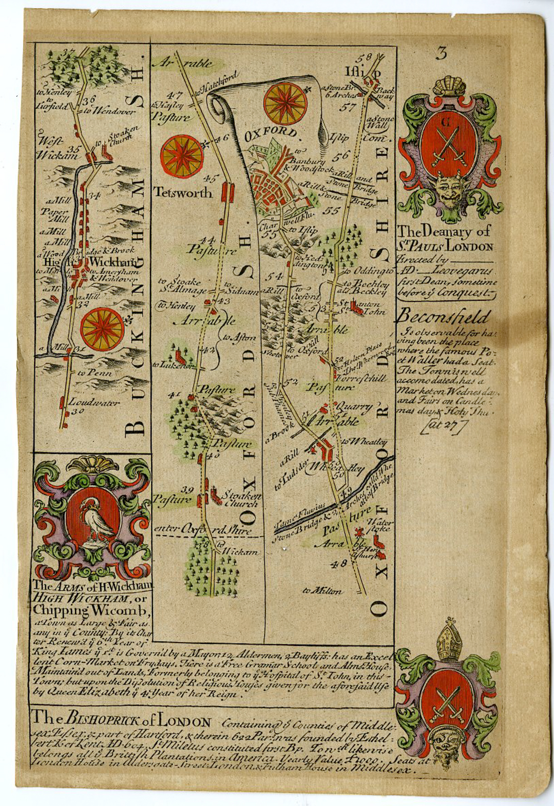
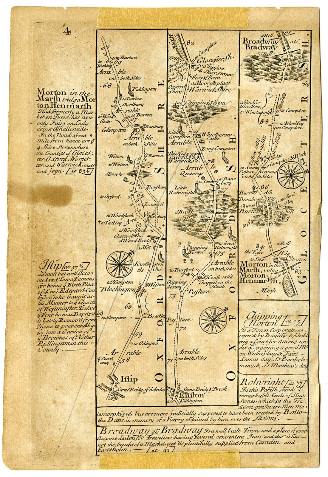
 Print
Print Description
Medium: Copperplate engraving with hand-coloring on hand laid (verge) paper.
Sheet size: 13 x 19.5 cm (5.12 x 7.68 inch).
Condition: good, given age. Light foxing, creasing and soiling. Thin paper spot. General age-related toning and/or occasional minor defects from handling. Please study scan carefully.
OWEN & BOWEN, BRITANNIA DEPICTA, 18TH-CENTURY MAPS, ROAD STRIP MAPS, HIGH WYCOMBE, OXFORD, BROADWAY, GLOUCESTERSHIRE, BUCKINGHAMSHIRE, OXFORDSHIRE, CARTOGRAPHY, ANTIQUE MAPS | PCO-E19-43
BACKGROUND INFORMATION
Britannia Depicta or Ogilby Improv’d, published by T. Bowles, London (c.1720-1764).
Reference: Owen & Bowen, Britannia Depicta, 1720 edition.
Biography engraver: Emanuel Bowen (1694-1767) was one of the most prolific and renowned Welsh engravers of the 18th century. He was appointed engraver to both King George II of England and Louis XV of France. His works, including Britannia Depicta, provided detailed cartographic and topographic descriptions for travelers.
Biography artist: John Owen (fl. c.1720-1764) was responsible for the descriptive text accompanying Britannia Depicta, while Emanuel Bowen engraved the maps. Their collaboration produced some of the most practical and widely used road maps of the period.


Reviews
There are no reviews yet.