
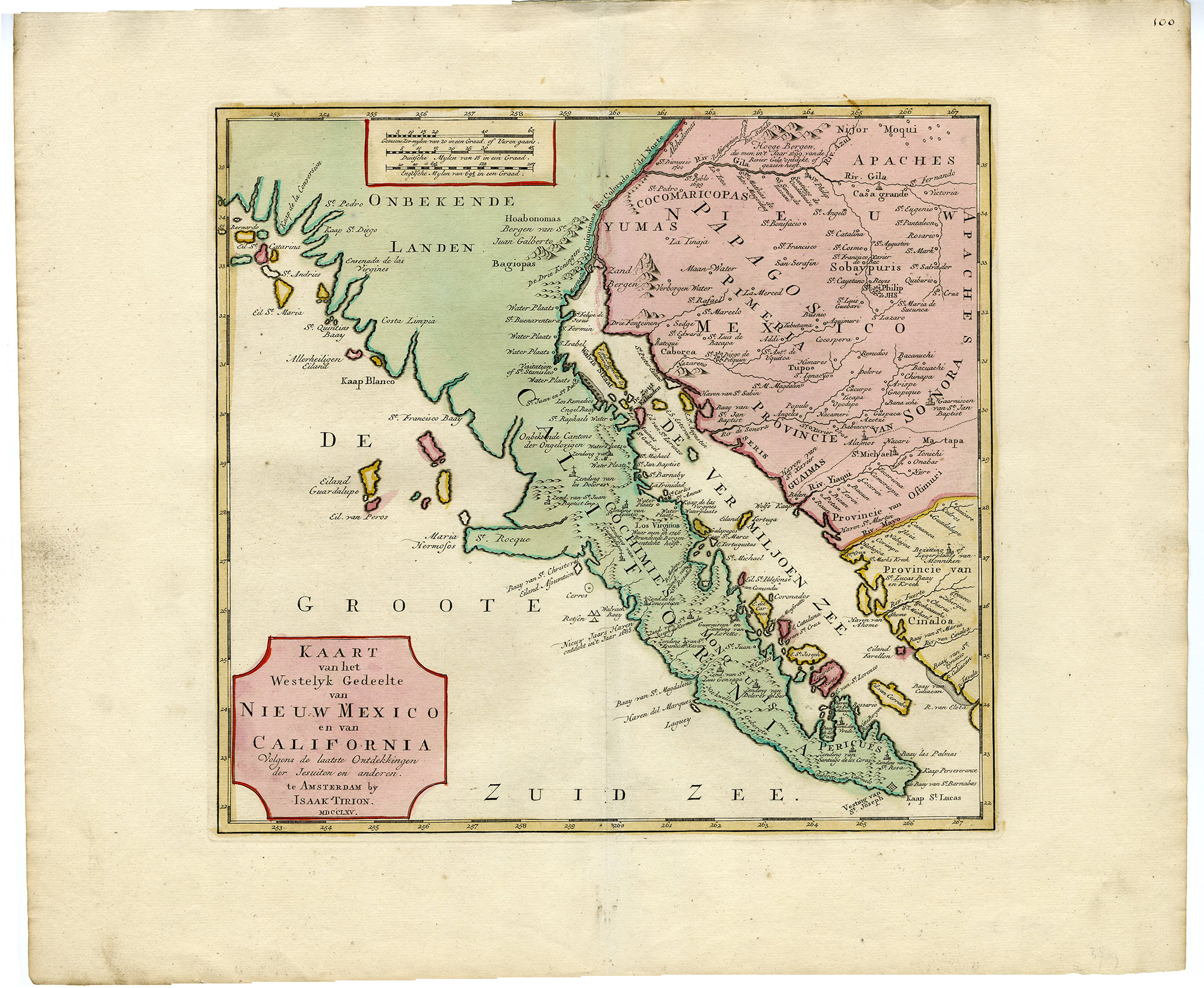
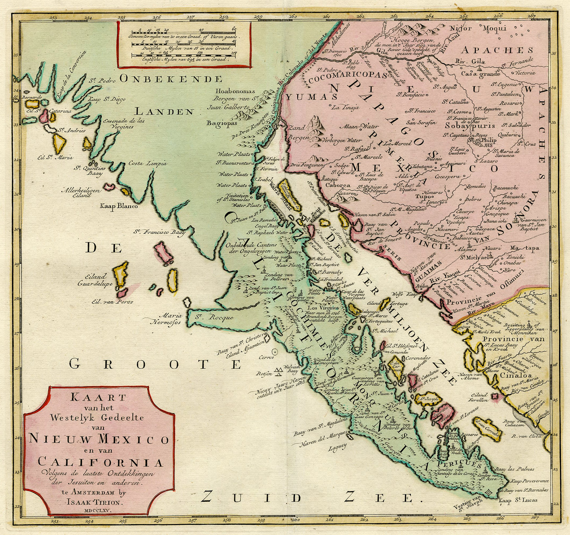
Description
Medium: Engraving, original coloring on hand-laid (verge) paper.
Sheet size: 52 x 43.5 cm (20.47 x 17.13 inch). Image size: 35 x 33 cm. (13.78 x 12.99 inch).
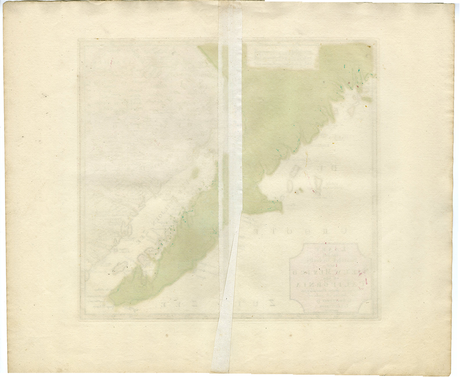
Condition: very good, given age. Light foxing, creasing and soiling. Original vertical fold as issued. General age-related toning and/or occasional minor defects from handling. Please study scan carefully.
CALIFORNIA MAP, BAJA CALIFORNIA, 18TH-CENTURY CARTOGRAPHY, ANTIQUE MAP, JESUIT MISSIONS, ARIZONA, SONORA, FERDINANDO CONSAG, EARLY CALIFORNIA HISTORY, COLONIAL GEOGRAPHY | EXPO-MAPS-LARGE
BACKGROUND INFORMATION
Published by I. Tirion, Amsterdam, 1765.
Biography engraver: Isaak Tirion (1705-1765) was a Dutch publisher and cartographer based in Amsterdam. He is best known for his historical atlases and maps, particularly the Nieuwe Hand-Atlas (1744). His works drew from sources such as Guillaume de l’Isle and Jesuit explorers.


Reviews
There are no reviews yet.