
 Print
Print Description
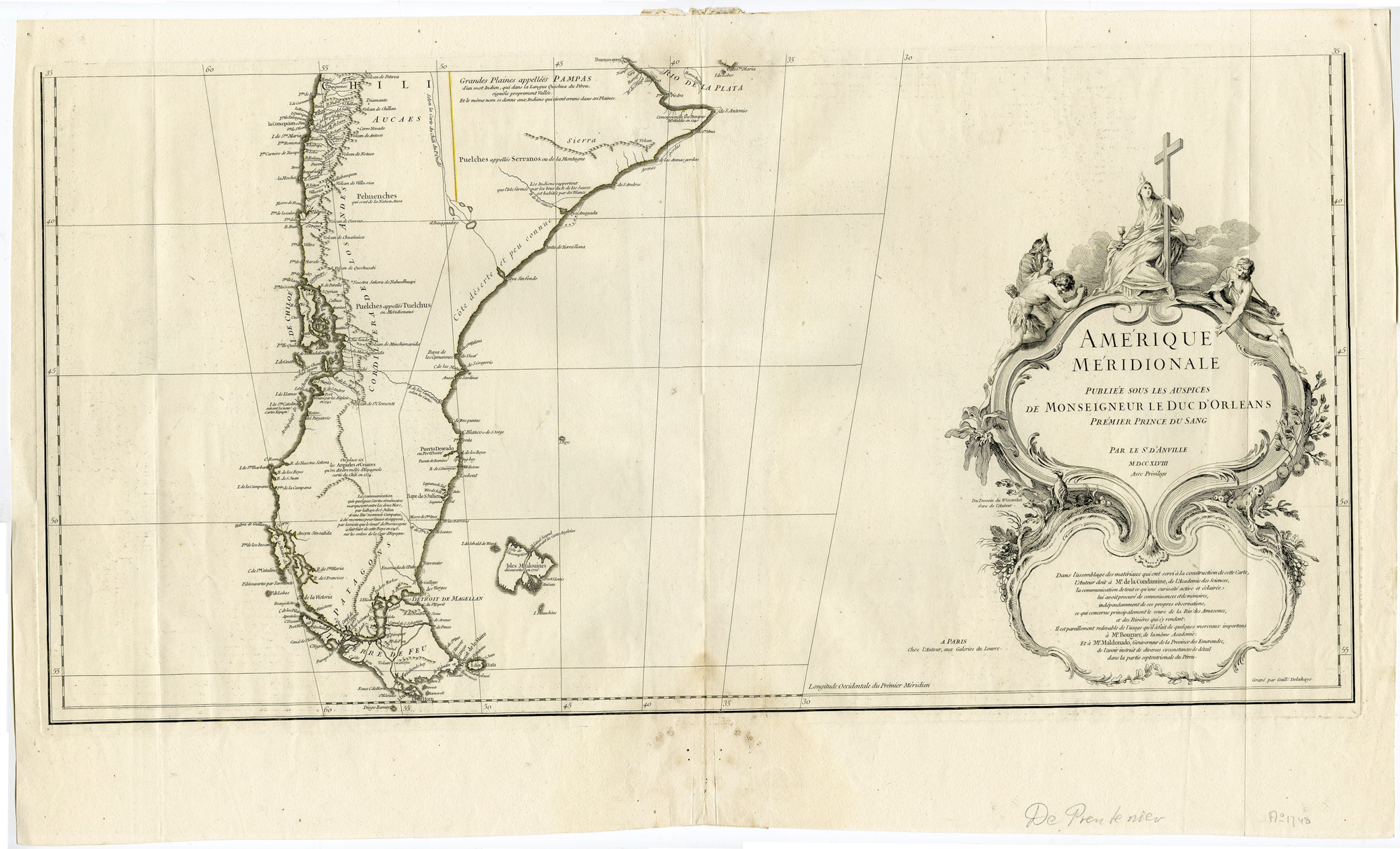
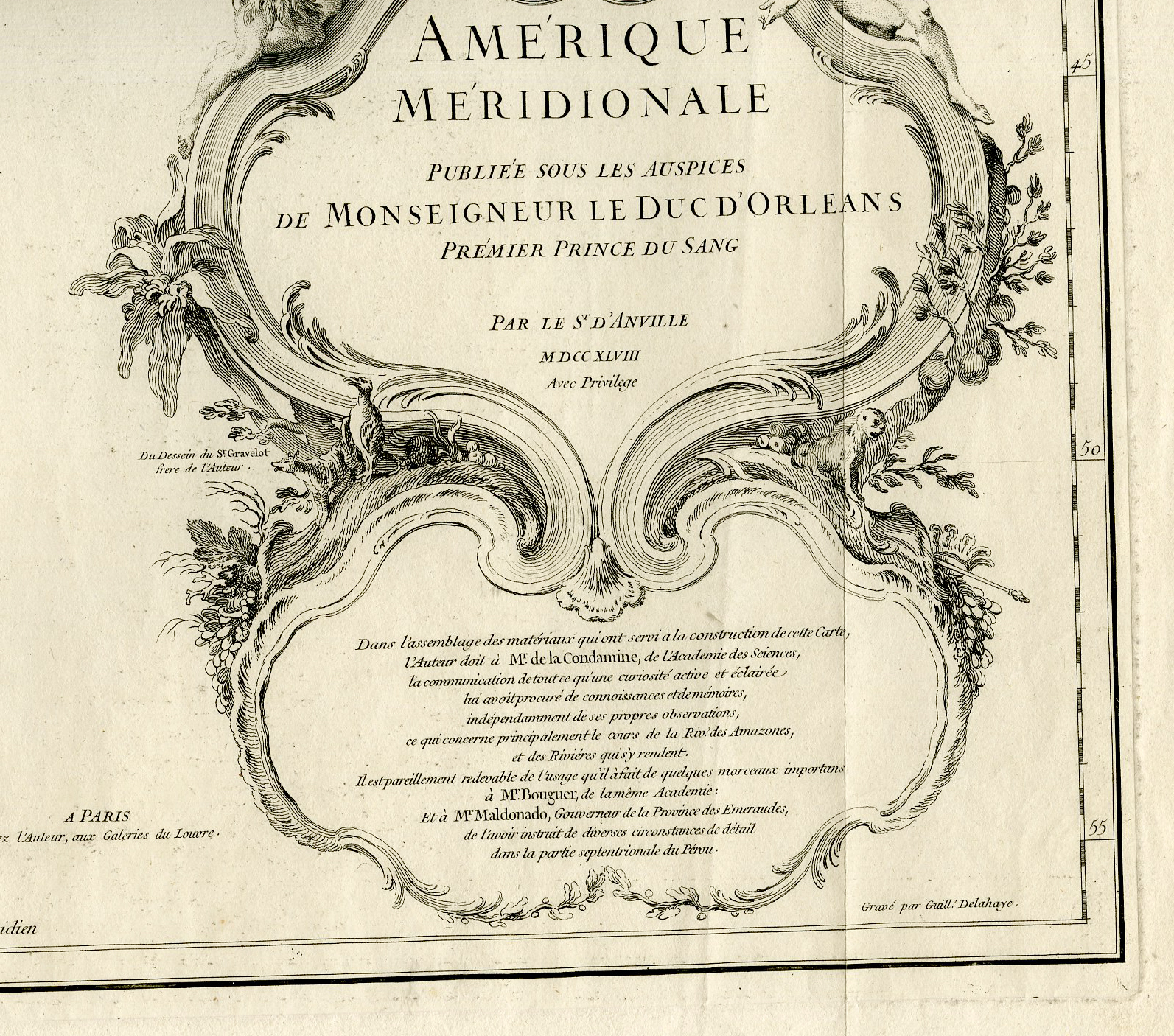
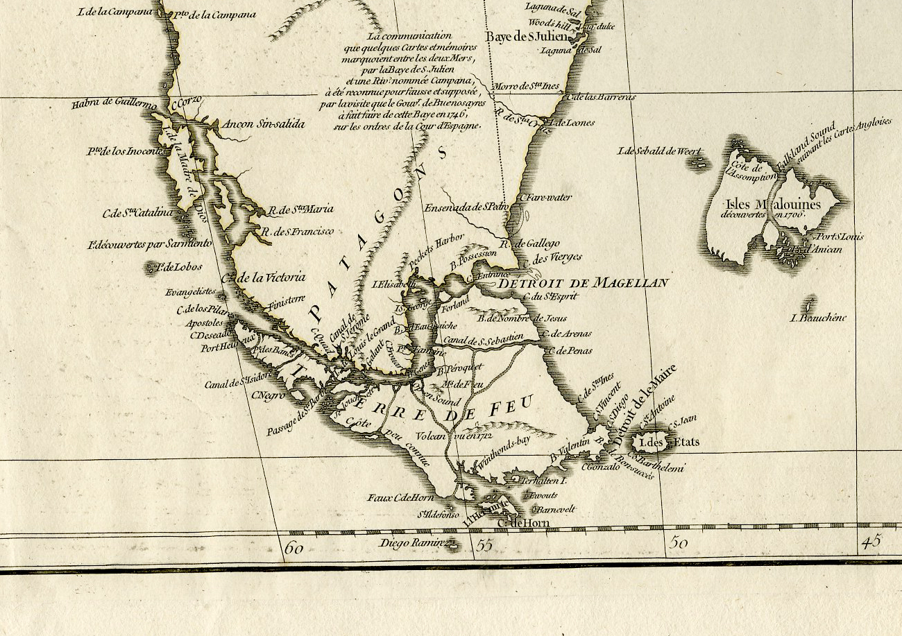
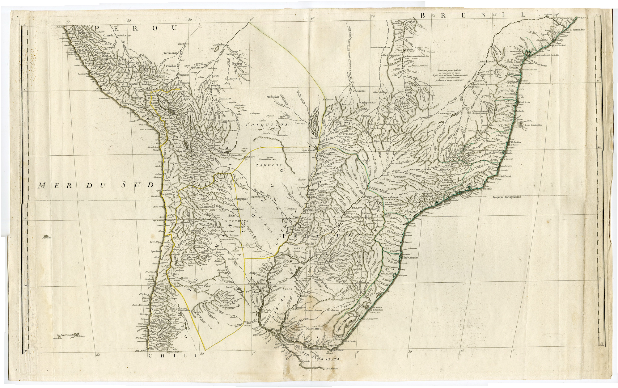
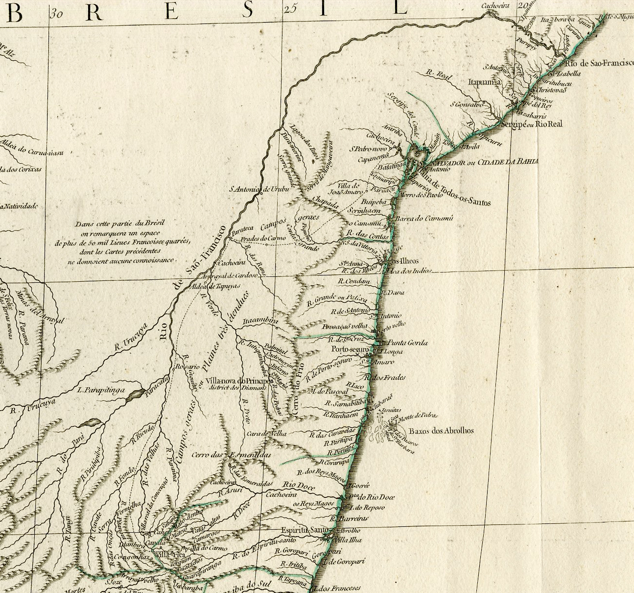
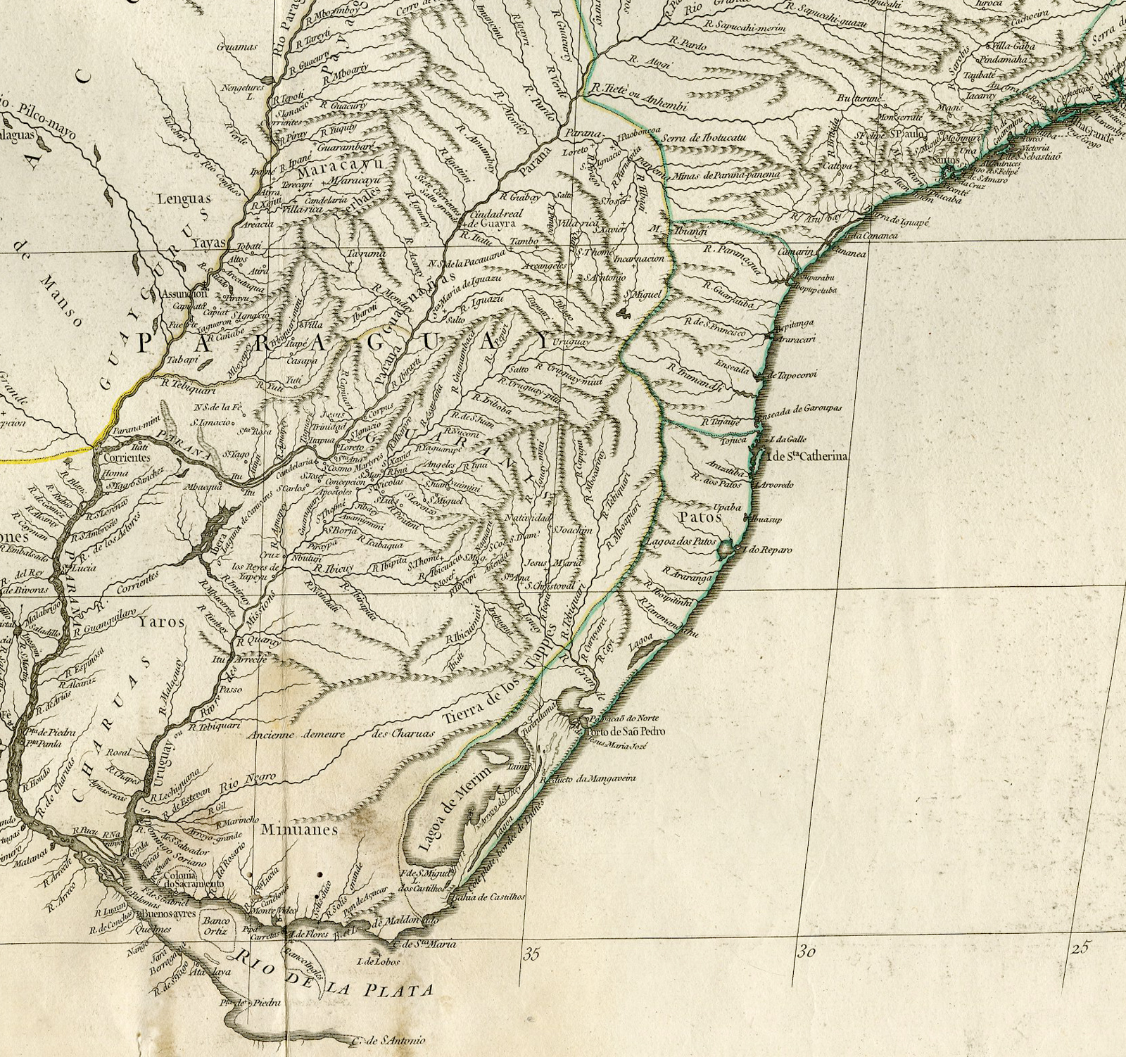
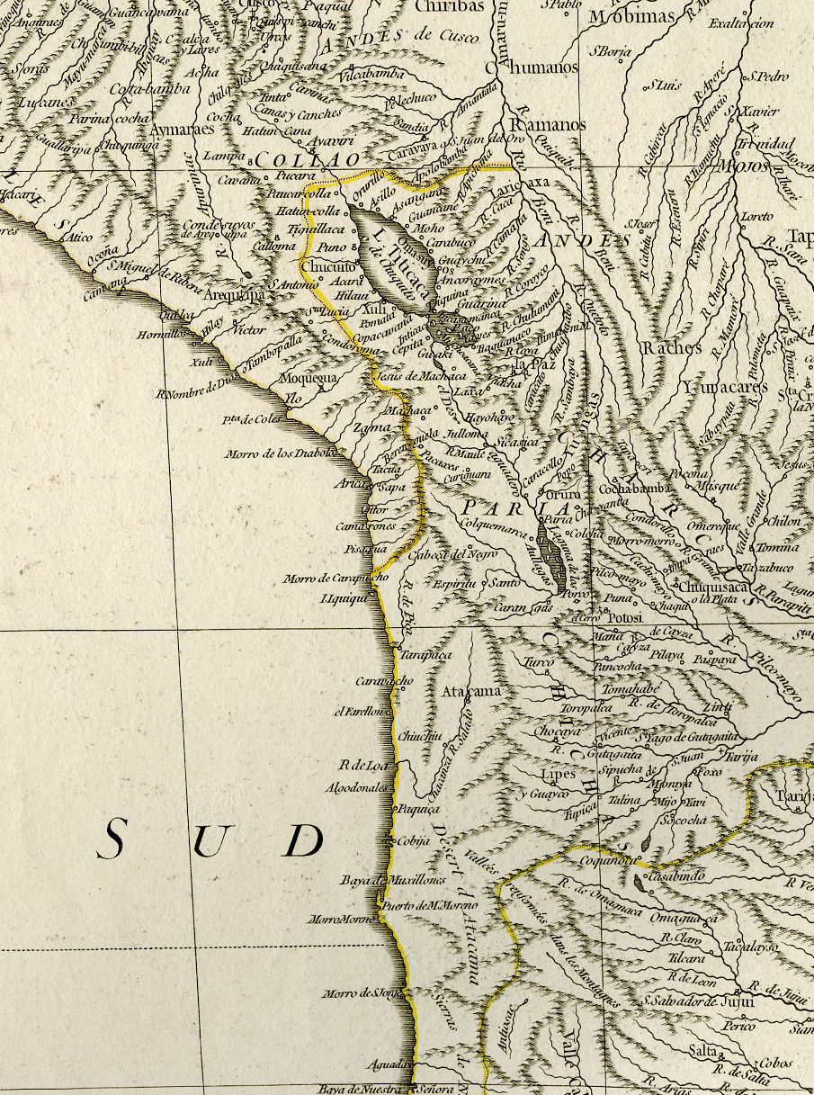
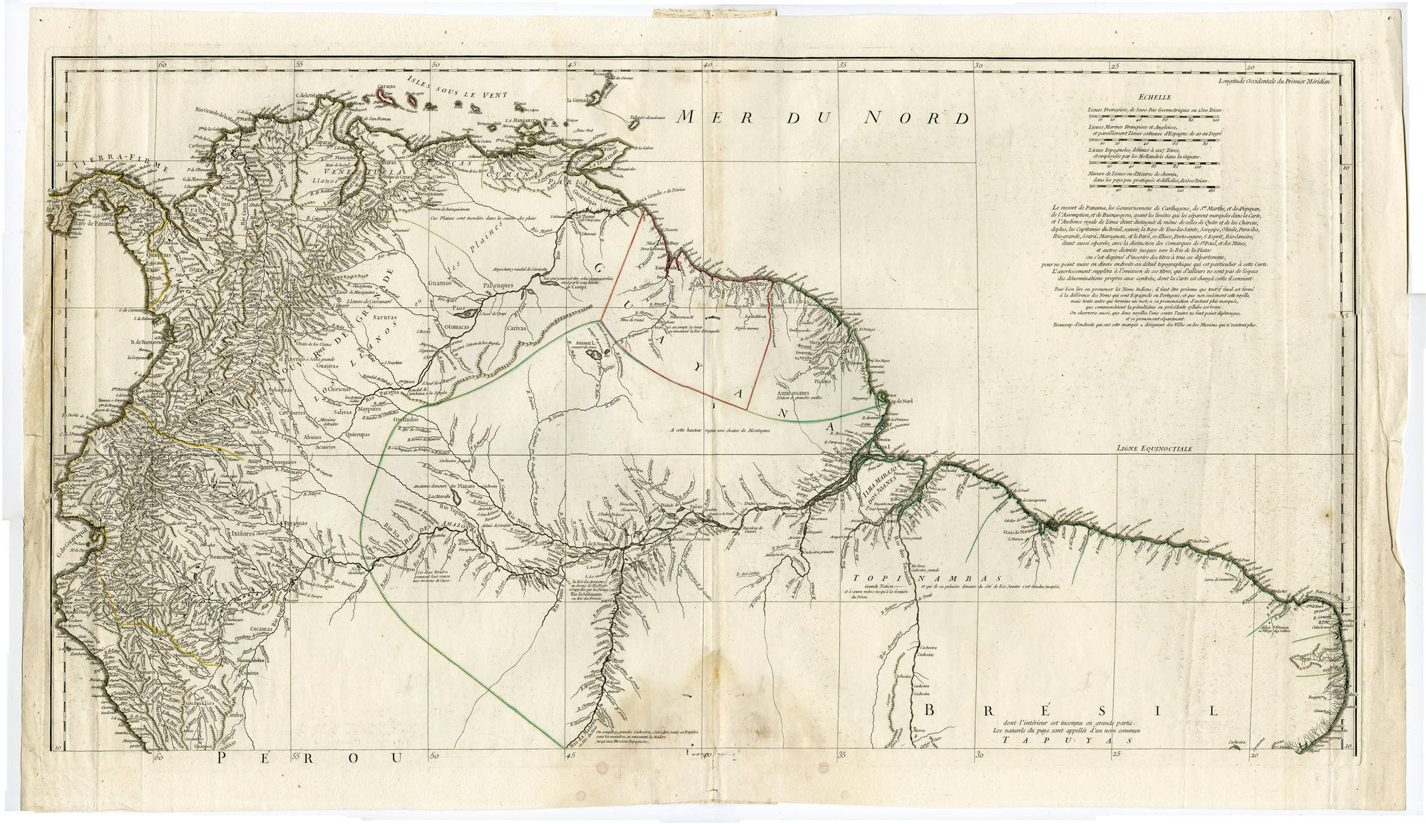
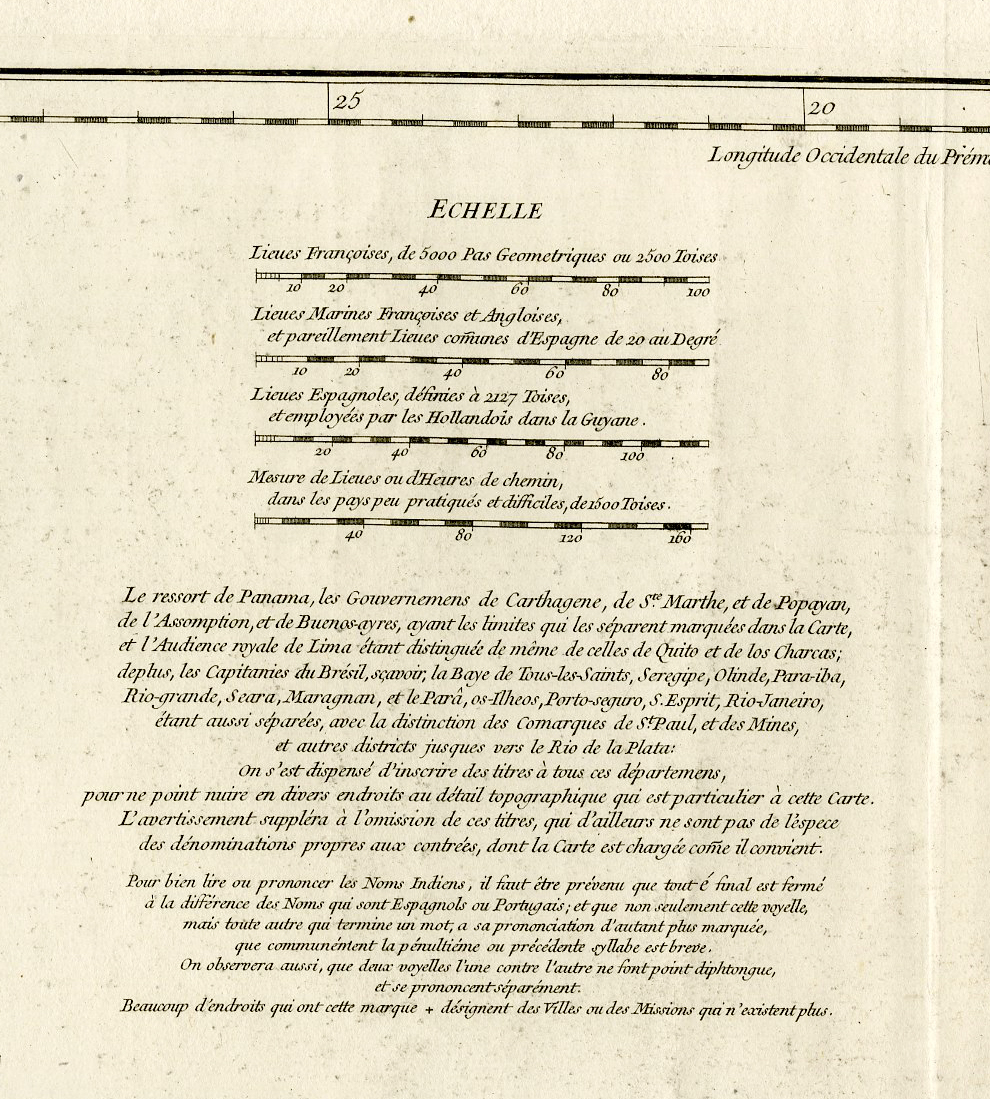
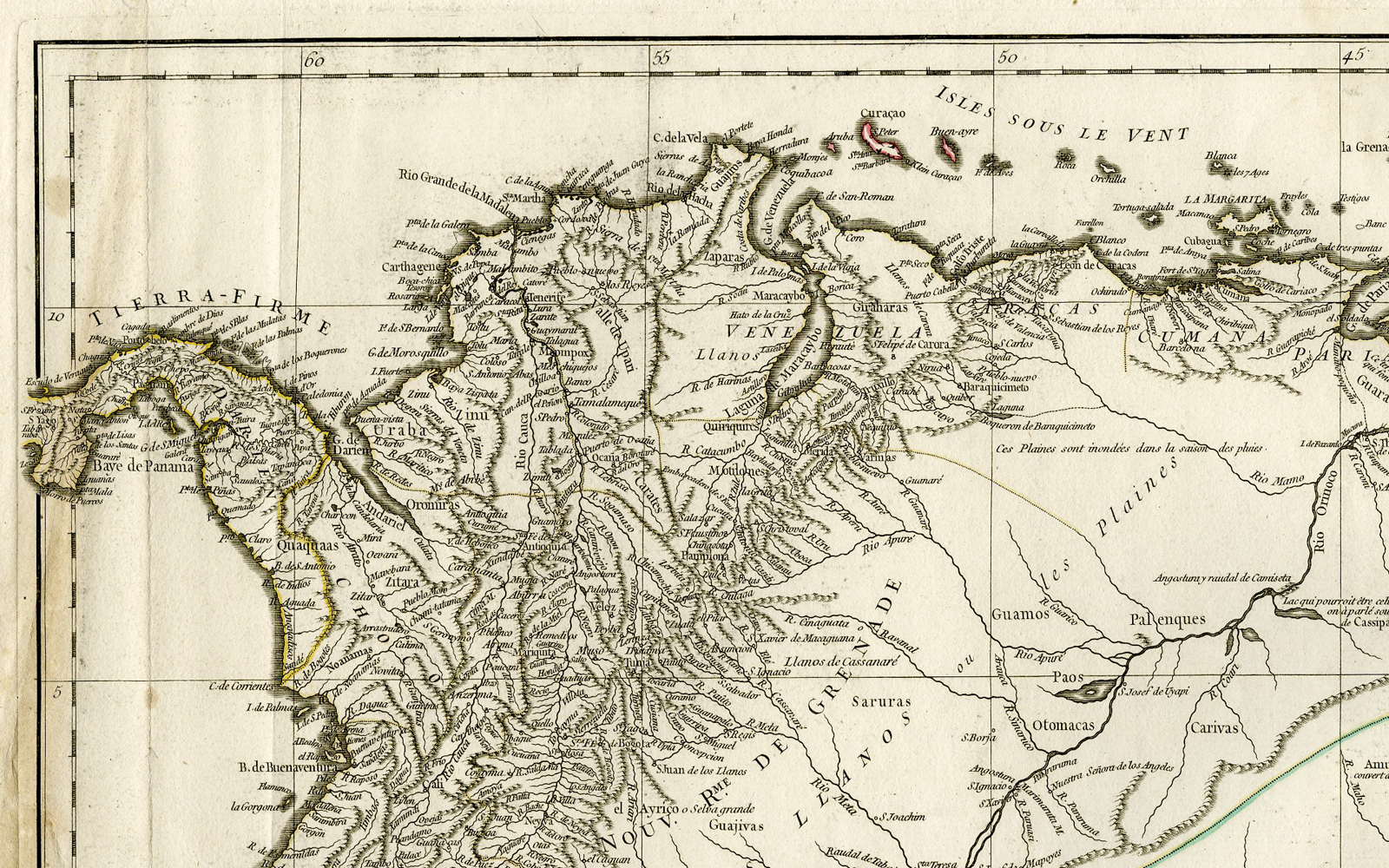
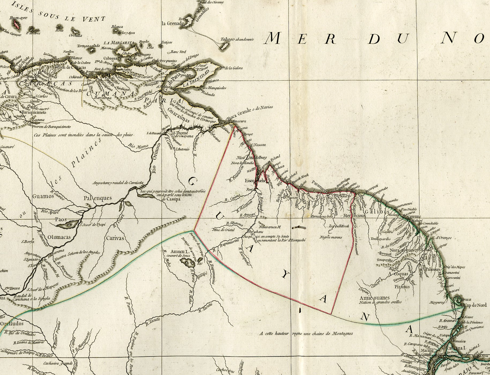
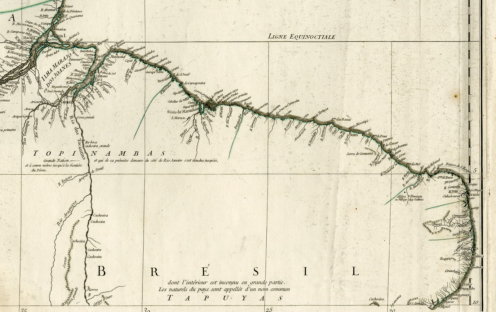
Original antique very large 3-sheet map of South America. Relief shown pictorially. Includes geographical notes. Ornamental title cartouche. In 1748 D’Anville finished his carte Amerique meridionale. This map shows Brazil with borders very similar to those which would be negotiated by the Portuguese two years later in Madrid (Treaty of Madrid, 1750). He configured Brazil as a massive territory extending, from north to south, from the present-day states of Amap? and Rond?nia to the mouth of the R?o de la Plata and also in the east ? west direction, encompassing Amazonia and South America’s center-west. This inversion ? of the map inventing the territory ? was hardly an innovation. The Amerique meridionale was, then, the first map to draw Brazil in this triangular format, very close to its current shape; it delineated not contemporary borders but the future borders that the Portuguese ambassador, D. Luis da Cunha, believed should be negotiated with the Spanish. And, in fact, the negotiations that resulted in the Treaty of Madrid in 1750 gave Brazil a very similar format to the one portrayed in D’Anville’s map.
Made by after an anonymous artist.
Medium: Engraving / etching with outline hand colouring on hand laid (verge) paper.
Sheet size: 81 x 136 cm (31.89 x 53.54 inch). Image size: 77.5 x 127 cm. (30.51 x 50 inch).
Condition: good, given age. Original folds as issued. Several worm holes near middle fold. Light foxing. Edges with some small teras. Alle three sheets damp stained at the bottom near middle fold. Some crinkles and light creases. General age-related toning and/or occasional minor defects from handling. Please study scan carefully.
SOUTH AMERICA-AMERIQUE MERIDIONALE-BRAZIL | DPO-A2-003-46
BACKGROUND INFORMATION
Published in Paris, dated 1748.
Biography engraver: Jean Baptiste Bourguignon d’Anville (1697 -1782), was a French geographer and the reformer of old and new cartography. Bourguignon d’Anville devoted himself early to geographical studies, already in the age of 21 became a royal geographer.With this appointment he later rose as a private secretary of Louis, Duke of Orl?ans. He published 211 maps and became a member of the Acad?mie des sciences in 1773. His valuable map collection, consisting of 10,500 numbers, was purchased for the Royal Library of Paris, now the Biblioth?que Nationale de France. Jean Baptiste Bourguignon d’Anville, was a geographer and cartographer who greatly improved the standards of map making. Particularly valuable are his maps of ancient geography, which are characterized by careful, accurate work and are largely based on original research. He left unknown areas of continents blank and noted dubious information as such; compared to the elaborate maps of his predecessors, his maps seemed empty. His first serious map, that of ancient Greece, was published when he was fifteen years old. At the age of twenty-two he was appointed one of the king’s geographers and began to attract the attention of the first authorities. D’Anville’s studies included everything geographical in the world’s literature as far as he could find it: To this end, he searched not only ancient and modern historians, travelers, and storytellers of every kind, but also poets, orators, and philosophers. One of his favorite themes was to reform geography by putting an end to blind copying of older maps, by testing the generally accepted positions of places by a rigorous examination of all descriptive authority, and by excluding from cartography any name that was inadequately supported.
![[SEPP and NOZEMAN] Alauda (Skylark)](https://pictura-prints.com/wp-content/uploads/2018/07/pcorc023-324x457.jpg)


Reviews
There are no reviews yet.