
 Print
Print Description
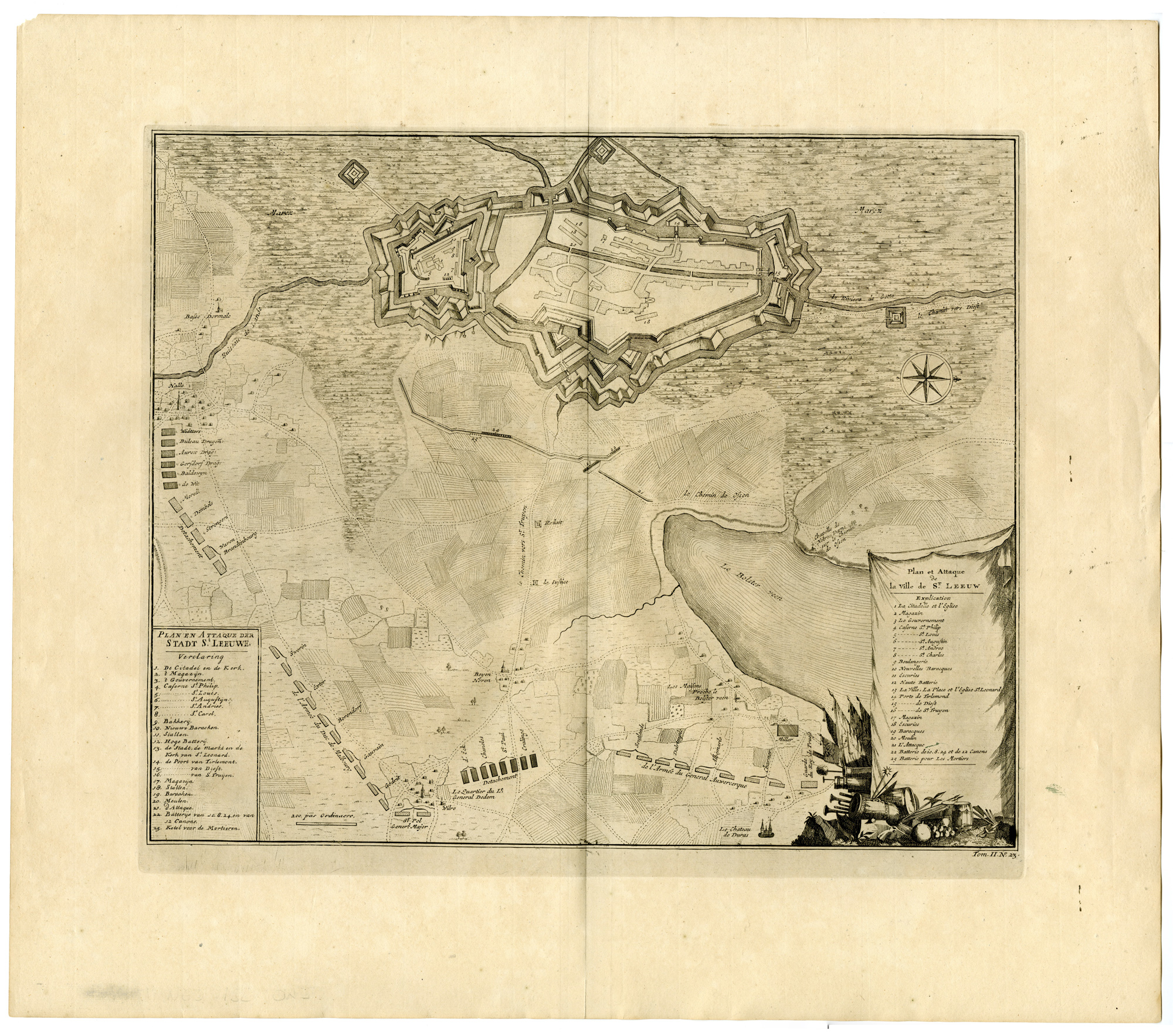
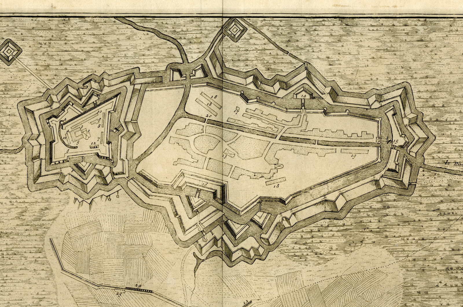
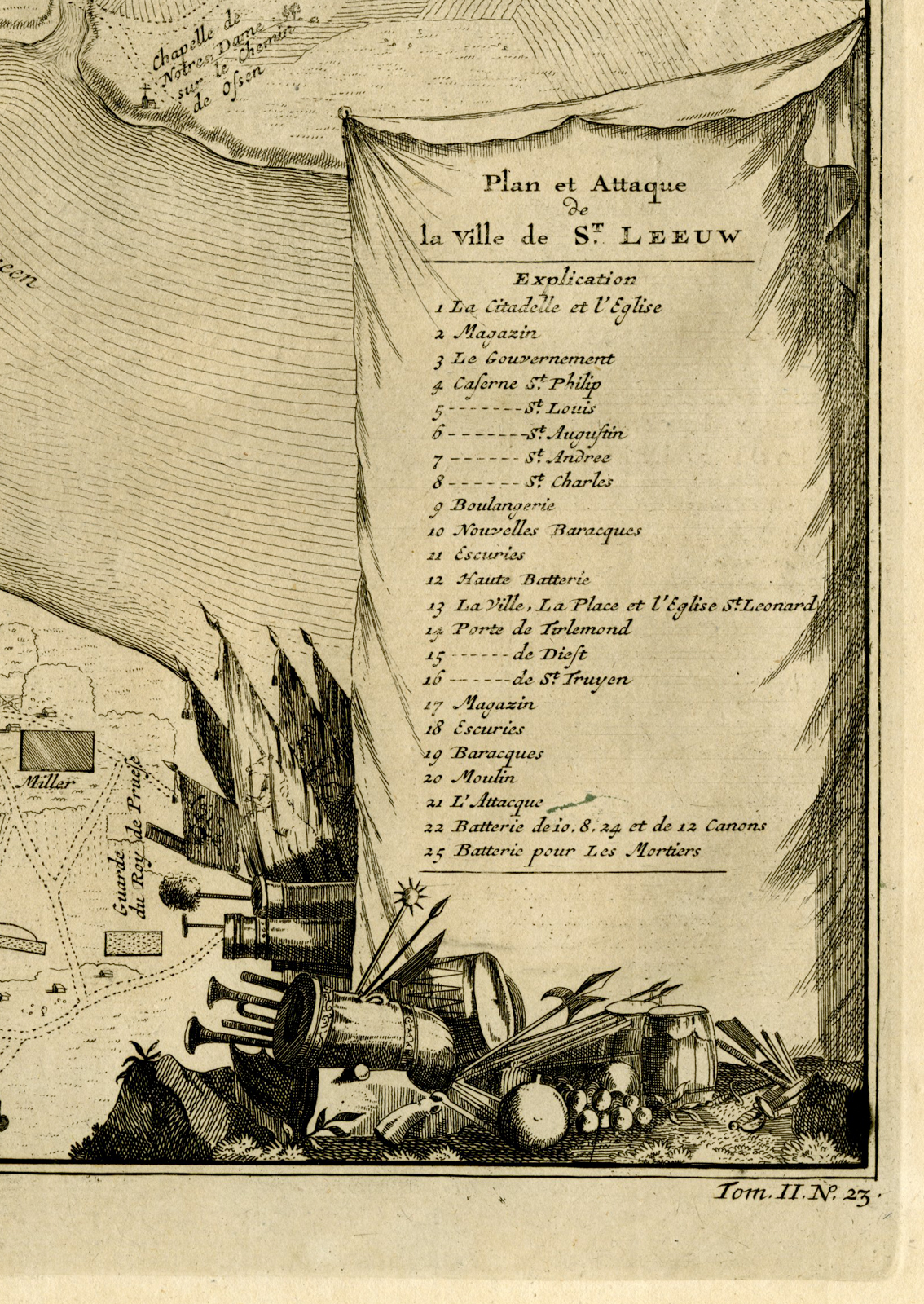
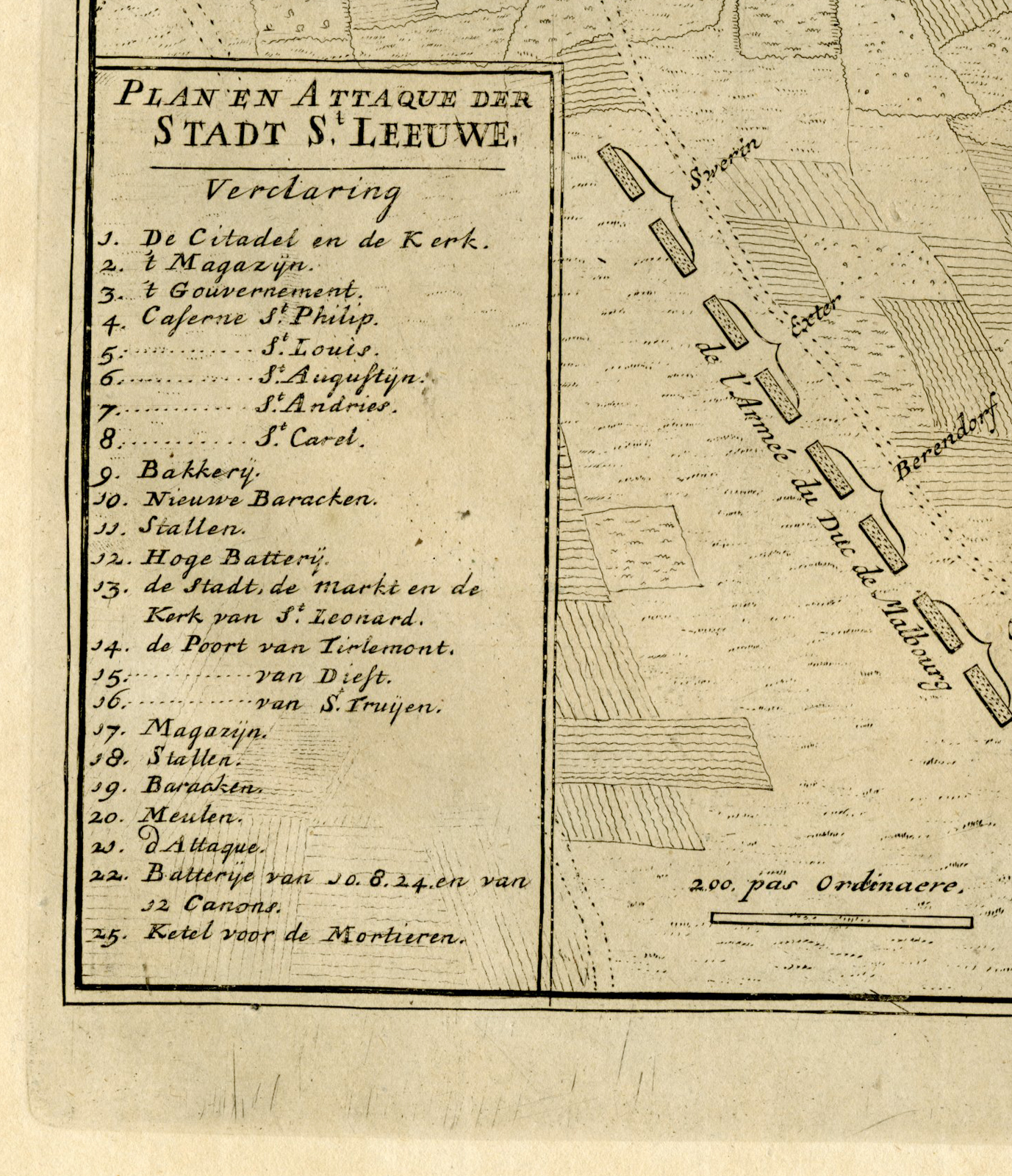
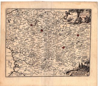
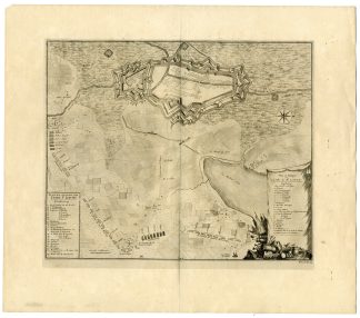
This print shows a map of the reconquest of Zoutleeuw, Saint Leeuw Flandria in Belgium by the Allies on August 5 1705. Bottom right a cartouche with title and legend 1-25. Bottom, left of center, a scale bar: 200 only ordinaere.
Made by Isaac van der Kloot after de Missy.
Medium: Engraving / etching on handlaid (verge) paper.
Sheet size: 60 x 53 cm (23.62 x 20.87 inch). Image size: 45.5 x 39.5 cm. (17.91 x 15.55 inch).
Condition: good, given age. Fold as published. One stain right margin.Creases right margin. General age-related toning and/or occasional minor defects from handling. Please study scan carefully.
MAP-ZOUTLEEUW-BELGIUM-ALLIES-FORTRESS-EUG?NE DE SAVOYE | RB-T.29-LARGE
BACKGROUND INFORMATION
This attractive print was published in The Hague between 1705 – 1717. From: Jean Dumont and Jean Rousset de Missy ‘Histoire militaire du prince Eugene de Savoye (…)’.



Reviews
There are no reviews yet.