
 Print
Print Description
Copperplate engraving and etching on a verge type hand laid paper. on paper.
Size in cm: The overall size is ca. 69.5 x 51.5 cm. The image size is ca. 62 x 49.5 cm. Size in inch: The overall size is ca. 27.4 x 20.3 inch. The image size is ca. 24.4 x 19.5 inch.
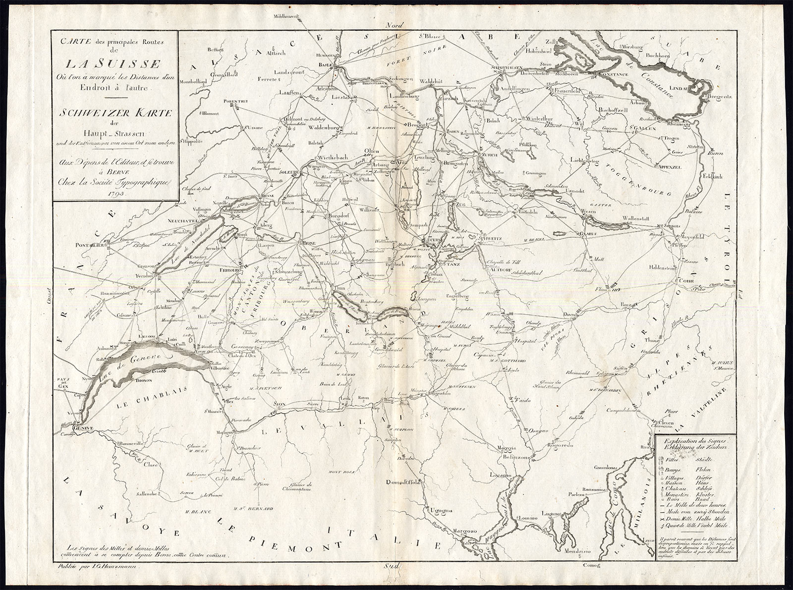
Map: ‘Carte des principales routes de la Suisse – Schweizer Karte der Haupt-Strassen’ (Map of the main routes in Switzerland). This map originates from an unrecorded composite Atlas compiled around 1795 (based on youngest dated map). This map published by J. G. Heinzmann and the Societe Typographique, Bern, 1795. (Typographische Gesellschaft Bern) Published as a supplement to a travel guide. Scarse.Artists and Engravers: Publisher: Johann Georg Heinzmann (1757-1802).
Condition: General age related toning and light staining. Worm holes near lower middle fold and bottom margin,backed by identical paper. Please study scan carefully.
Keywords: ANTIQUE MAP-SWITZERLAND-MAIN ROUTES-SCHWEIZ-HEINZMANN
XXX-B3-14


Reviews
There are no reviews yet.