
 Print
Print Description
Etching / engraving on hand laid paper. Watermark: 5-pointed foolscap. on paper.
Size in cm: The overall size is ca. 32.5 x 24 cm. The image size is ca. 29 x 22 cm. Size in inch: The overall size is ca. 12.8 x 9.4 inch. The image size is ca. 11.4 x 8.7 inch.
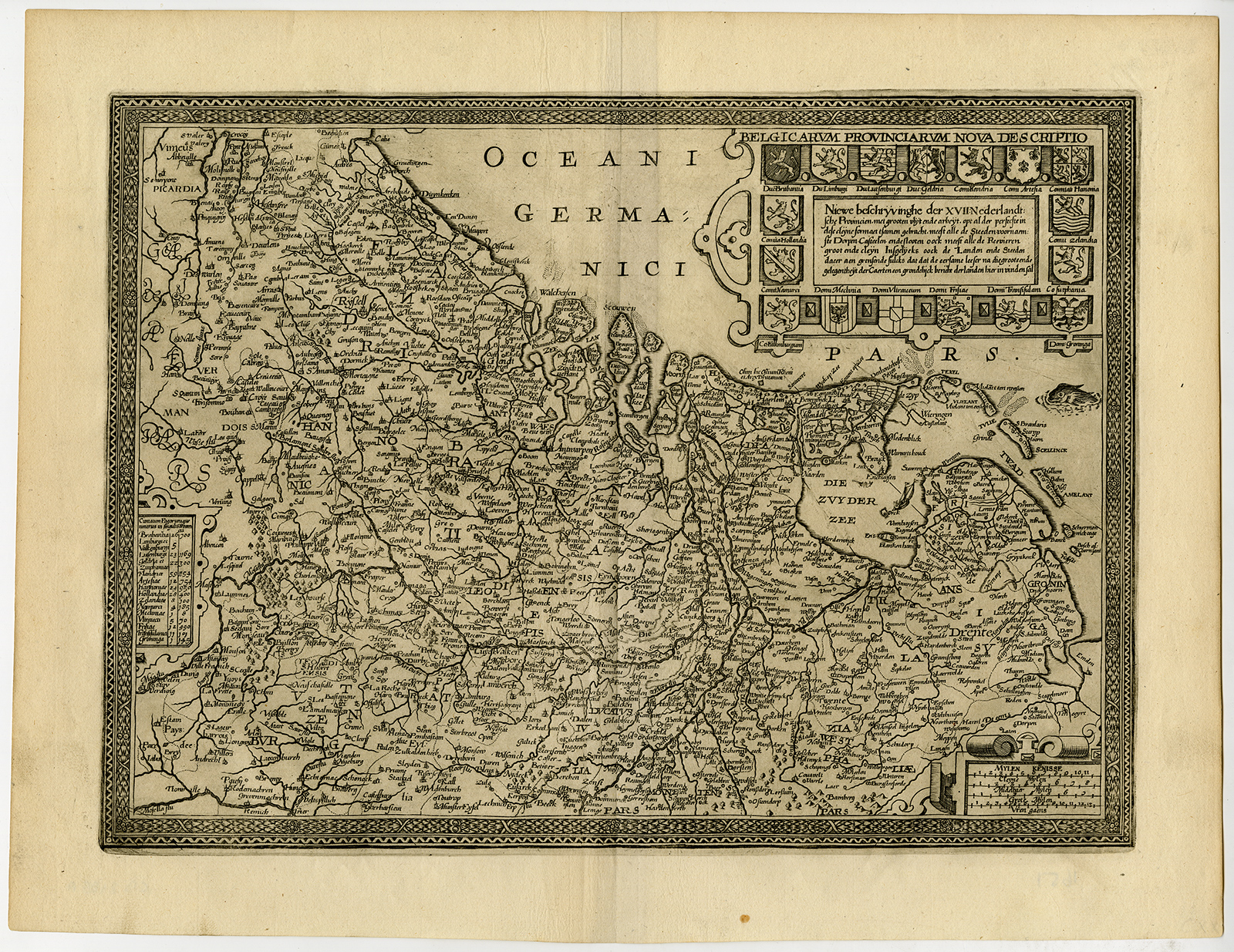
Antique print, titled: ‘Belgicarum Provinciarum Nova Descriptio. – Niewe beschryvinghe der XVII Nederlandsche Provincien […].’ – (New Description of the 17 Dutch Provinces.) Map of present day The Netherlands, Belgium and Luxembourg. Based on the larger map by Joannes van Doetecom. This map was first published in L. Guicciardini’s Description of the Low Countries. This map with alterations (particularly the removal of compass rose etc.) published in the 1648 ed. of L. Guicciardini, published by Johannes Janssonius and by Commelin in ‘Wilhelm en Maurits van Nassau […]’ (Amst., 1651). State: 2nd. State (of 2). Ref: Guicciardini Illustratus Nederlanden-6. Van der Heijden 70.Artists and Engravers: Made by an anonymous engraver after ‘Author: Ludovice Guicciardini’. Pieter van der Aa (Leiden 1659-1733) was a Dutch publisher best known for preparing maps and atlases. The Galerie Agreable contains plates and maps by the best Dutch engravers: Luiken, Goeree, Mulder, Stoopendaal, Aldert Meijer, Romeyn de Hooghe, ao.
Condition: Very good, given age. Narrow margins as published. Several fold lines as issued, flattened. Right bottom margin professionally remargined. General age-related toning and/or occasional minor defects from handling. Please study scan carefully.
Keywords: ANTIQUE PRINT-UNITED PROVINCES-NETHERLANDS-BELGIUM-LUXEMBOURG-GUICCIARDINI
PCOX-E1-07

Reviews
There are no reviews yet.