
 Print
Print Description
Original chromolithograph on a vellin type paper. on paper.
Size in cm: The overall size is ca. 24.9 x 30.6 cm. The image size is ca. 22 x 28 cm. Size in inch: The overall size is ca. 9.8 x 12 inch. The image size is ca. 8.7 x 11 inch.
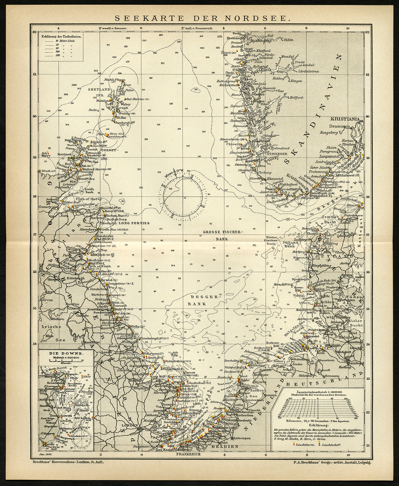
Map: ‘Zeekaart Seekarte der Nordsee.’ (Sea Chart of the North Sea). It shows the North Sea depth measurements and major harbours of Englianbd, the Netherlands, Norway and Denmark, as well as North-Western Germany. A small inset map details ‘Die Downs’, the Channel region near the English town of Deal. This original print originates from the 14th edition of Brockhaus Konversations-Lexikon, an encyclopedia similar to the famous German encyclopedia Meyers’ Konversationslexikon, and was published 1893-1897. Meyers Konversations-Lexikon was a major German encyclopedia that existed in various editions from 1839 until 1984, when it merged with the Brockhaus encyclopedia. The same prints were used for similar publications, such as Brockhaus’ encyclopedia, and the Dutch encyclopedias of Oosthoek and Winkler Prins.Artists and Engravers: The original founder and publisher who initiated this famous encyclopedia was Joseph Meyer (1796-1856, Hildburghausen, Germany).
Condition: Excellent, given age. Original middle fold as issued. Explanation of the minerals attached to the rear. General age-related toning and/or occasional minor defects from handling. Please study scan carefully.
Keywords: ANTIQUE MAP-SEA CHART-NORTH SEA-ENGLAND-NETHERLANDS-DENMARK-BROCKHAUS
(PCOMAN) A170-33

Reviews
There are no reviews yet.