

 Print
Print Description
Engraving on hand laid paper. on paper.
Size in cm: The overall size is ca. 57.1 x 47 cm. The image size is ca. 56.8 x 44.6 cm. Size in inch: The overall size is ca. 22.5 x 18.5 inch. The image size is ca. 22.4 x 17.6 inch.
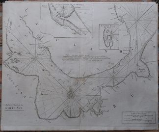
Antique map, titled: ‘A Large Chart of the White Sea.’ – The White Sea is an inlet of the Barents Sea, with Hola Peninsula in the north and the Russian mainland south. Mezen Bay, Dvina Bay and Onega Bay are shown. With two inset maps, one showing the river inlet near Svyatoy Nos, the other the Isola Lumbovskij. “Atlas Maritimus Novus, or the New Sea-Atlas”, Mount & Page, 1702.Artists and Engravers: Made by an anonymous engraver after ‘Mount & Page’. Mount & Page was a firm of maritime and religious publishers that flourished in the eighteenth century.
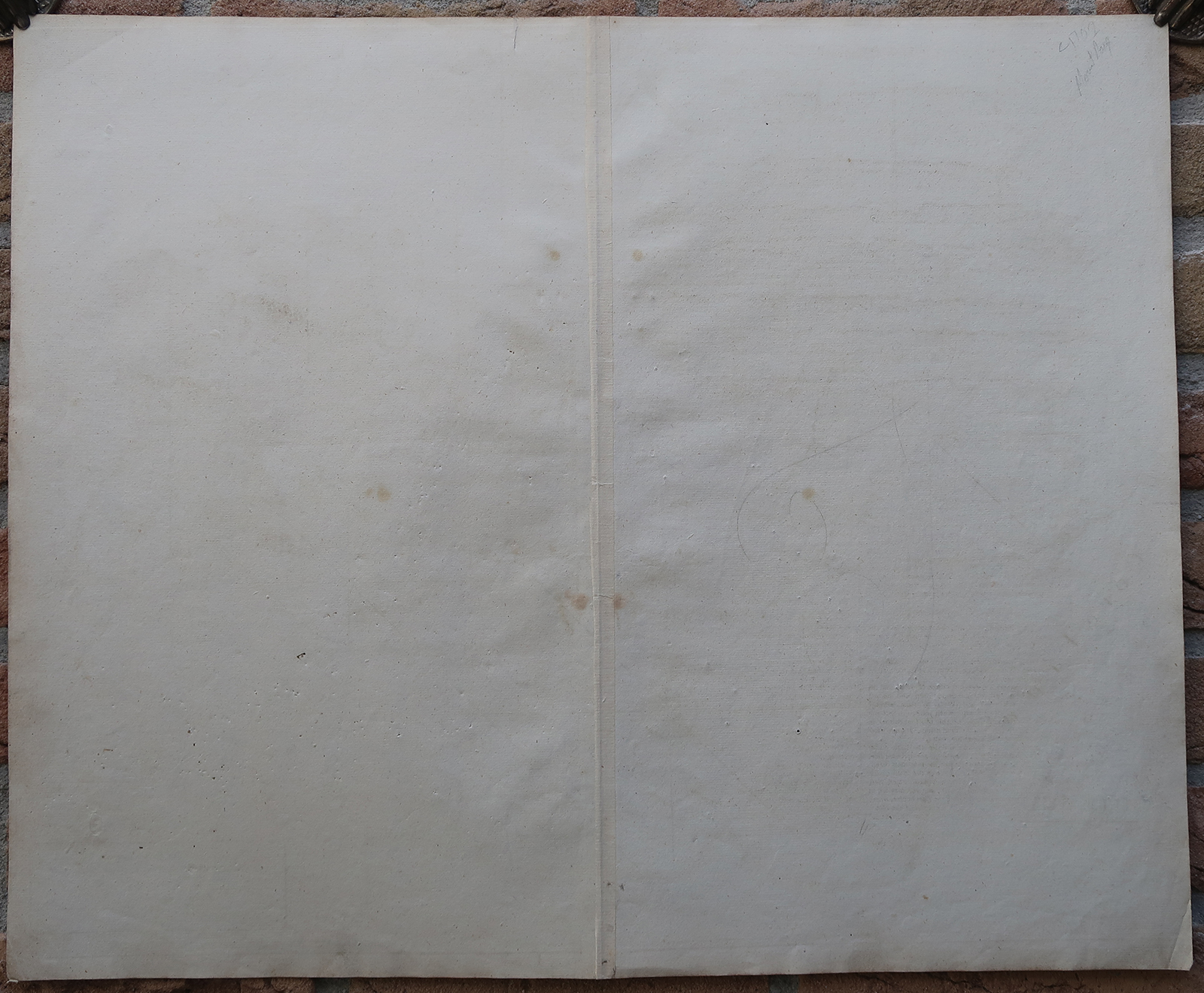
Condition: Good, given age. Original middle fold, as issued. A few stains around the middle fold. Some soiling in the lower margin. General age-related toning and/or occasional minor defects from handling. Please study scan carefully.
Keywords: ANTIQUE MAP-SEA CHART-RUSSIA-WHITE SEA-BARENTS SEA-MOUNT & PAGE
(PCO) GK-339



Reviews
There are no reviews yet.