
 Print
Print Description
Engraving on hand laid paper. on paper.
Size in cm: The overall size is ca. 59.3 x 46.8 cm. The image size is ca. 51.5 x 41.8 cm. Size in inch: The overall size is ca. 23.3 x 18.4 inch. The image size is ca. 20.3 x 16.5 inch.
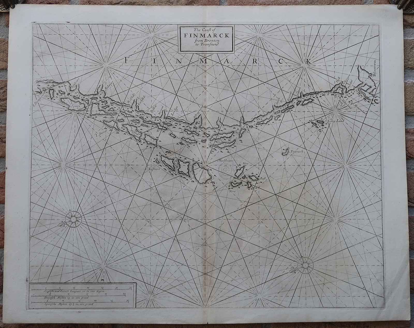
Antique map, titled: ‘The Coast of Finmarck from Dronten to Tromsound.’ – A sea chart of the Norwegian coast, from Trondheim to Tromso. The location of a Maelstream (sic) is depicted, Mokstraumen near the Lofoten archipelago. Two compass roses and rhumb lines. Samuel Thornton’s “The Sea-Atlas: Containing an hydrographical Description of most of the sea-coasts of the Known Parts of the world”, London: 1702-1707. Ref: Sabin 95631.Artists and Engravers: Made by an anonymous engraver after ‘Samuel Thornton’. Samuel Thornton (d.1715) was the son the English mapmaker John Thornton, an eminent English mapmaker of the late seventeenth and early eighteenth century. After his father’s death in 1708, Samuel Thornton continued to re-issue his father’s map (often with his imprint substituted).
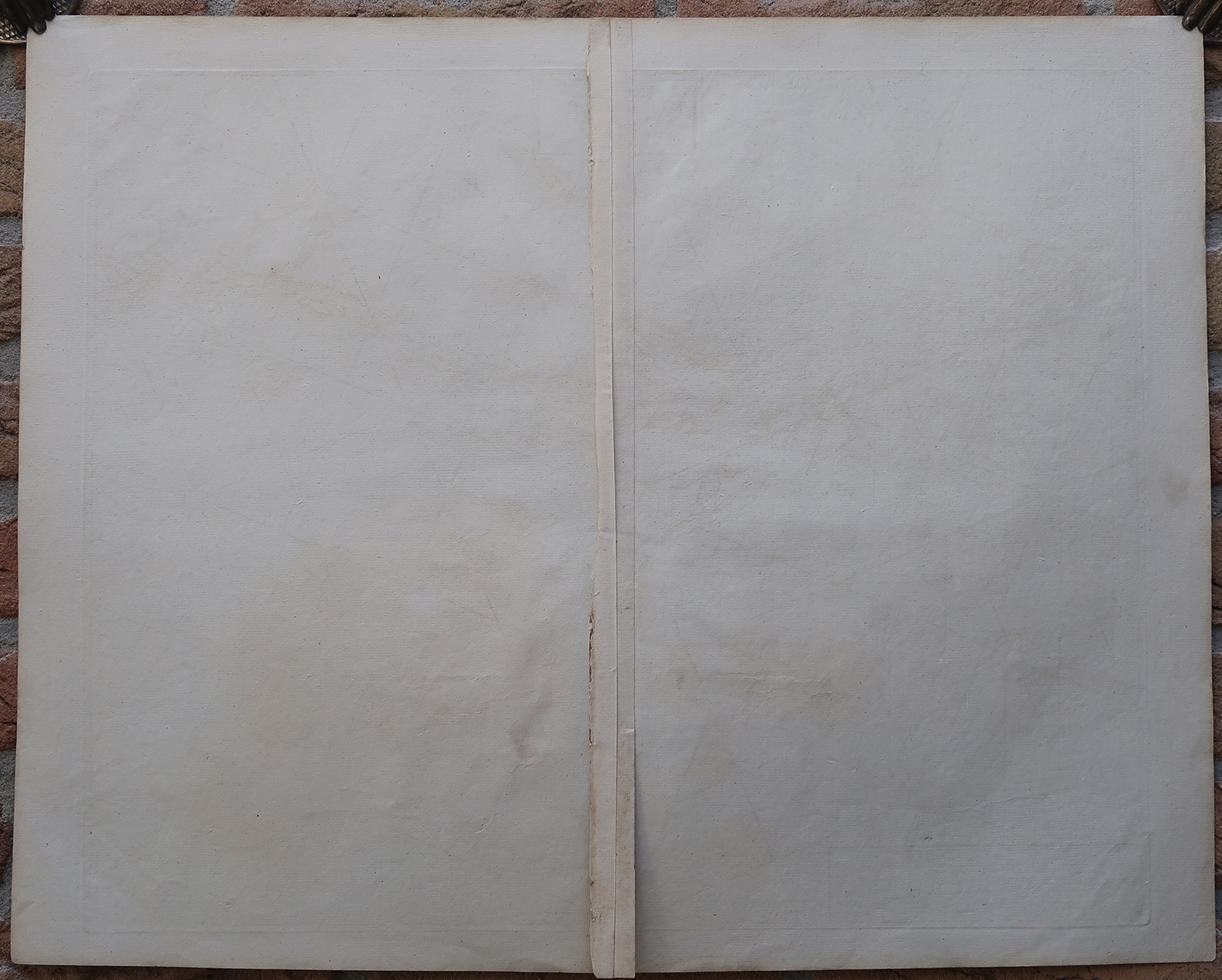
Condition: Very good, given age. Original middle fold, as issued. The middle fold faintly browned. General age-related toning and/or occasional minor defects from handling. Please study scan carefully.
Keywords: ANTIQUE MAP-SEA CHART-NORWAY-TRONDHEIM-MAELSTROM-THORNTON
(PCO) GK-335



Reviews
There are no reviews yet.