
 Print
Print Description
Wood engraving on wove paper. on paper.
Size in cm: The overall size is ca. 31,8 x 24,9 cm. The image size is ca. 27,2 x 21,6 cm. Size in inch: The overall size is ca. 12,5 x 9,8 inch. The image size is ca. 10,7 x 8,5 inch.
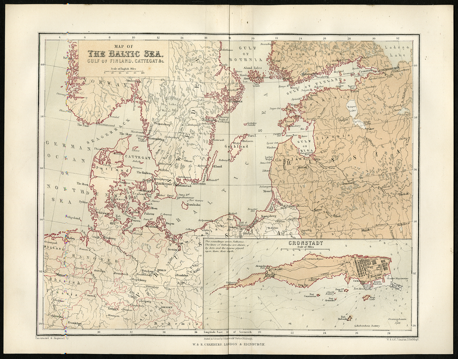
Antique print, titled: ”Map of the Baltic Sea, Gulf of Finland, Cattegat &c.” – This map shows the area around the Baltic Sea, with and inset of Cronstadt. The area shown extends to the Dutch Wadden islands and the southern edge of Norway, and the Gulf of Finland with St. Petersburg as the eastern edge. From: George Dodd, “Pictorial History of the Russian War 1854-5-6.” London: W. & R. Chambers, 1856.Artists and Engravers: Anonymous.
Condition: Very good, given age. Original middle fold, as issued. Edges minimally browned. General age-related toning and/or occasional minor defects from handling. Please study scan carefully.
Keywords: ANTIQUE PRINT-BALTIC SEA-FINLAND-KATTEGAT-KRONSTADT-DODD
(PCO) C182-41

Reviews
There are no reviews yet.