
 Print
Print Description
Lithograph on a vellin type of paper. on paper.
Size in cm: The overall size is ca. 7.3 x 9.3 cm. The image size is ca. 6.1 x 8.1 cm. Size in inch: The overall size is ca. 2.9 x 3.7 inch. The image size is ca. 2.4 x 3.2 inch.
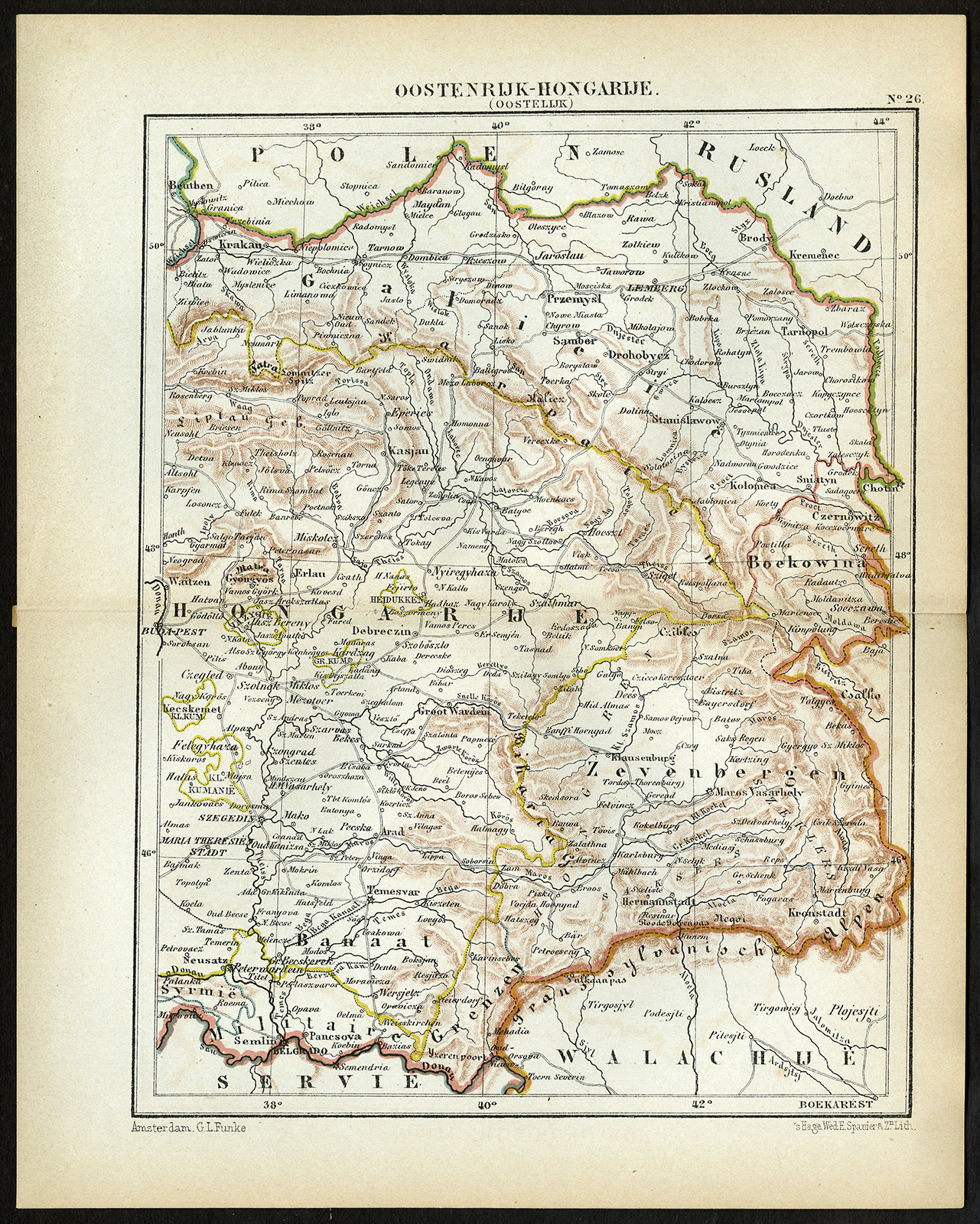
Plate 26 : ‘Hongarije, Zevenburgen, Galicie enz’. (Hungary, Transylvania, Galicia etc). This lithographed map originates from: ‘Wereld-atlas voor Kantoor en Huiskamer’ (transl: World Atlas for the office and living room), by J. Kuyper, published in 1880 – 1882 in Amsterdam, The Netherlands by G. L. Funke.Artists and Engravers: Jacob Kuyper (1821 – 1908), Dutch cartographer.
Condition: Original middle fold as issued. Tear in right part of middle fold, consolidated with acid free tape. General age-related toning and occasional light stains from handling. Please study image carefully.
Keywords: ANTIQUE MAP-HUNGARY-TRANSYLVANIA-RUMANIA-GALICIA-JACOB KUYPER
(PCO) C153-07

Reviews
There are no reviews yet.