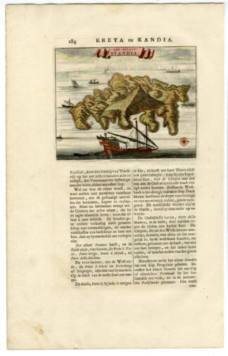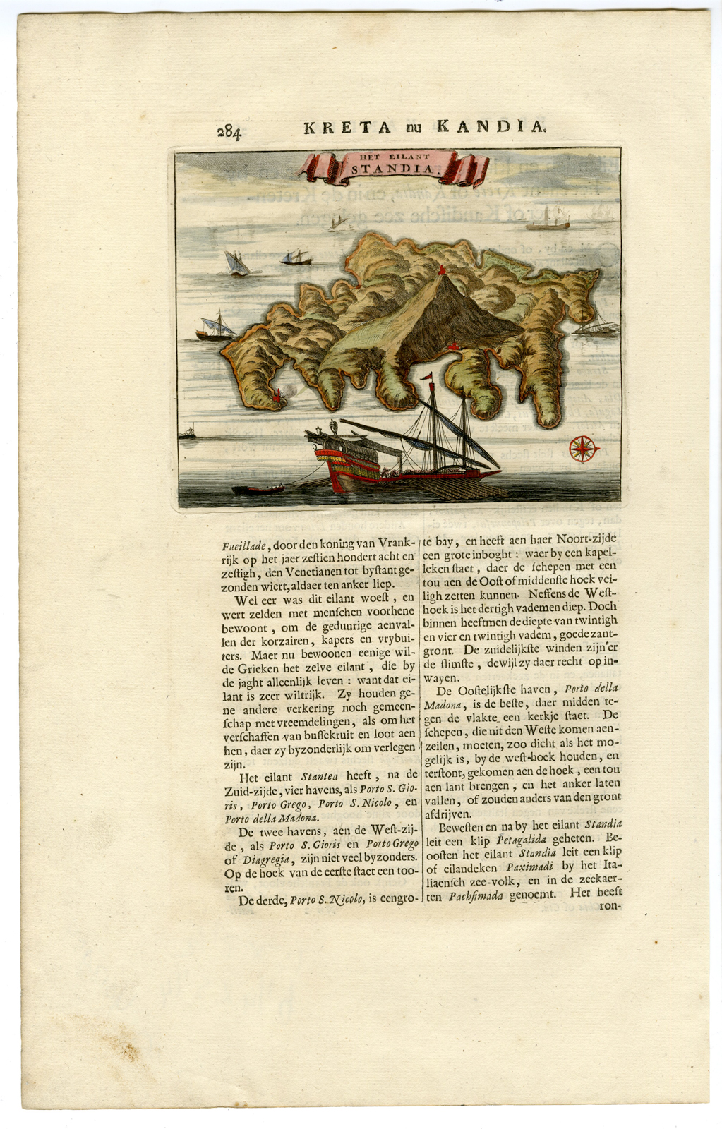
Antique Print-ANTIQUE MAP-ISLAND-STANDIA-CRETE-GREECE-Dapper-1688

Print

182.00

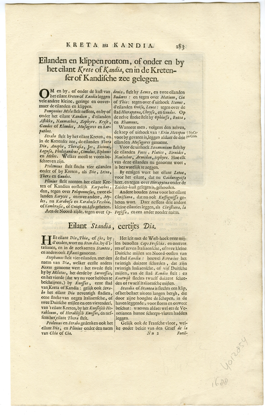
This is an original antique map of the island Standia, near Crete, Greece, from “Nauwkeurige Beschrijving der eilanden in de in de Archipel der Middellantsche Zee”, by O. Dapper). This antique hand colored (later date) antique map was printed in 1688 and is in fine condition, except for a stain of the lower page-margin. The page size is 15 inch x 9,5 inch. The image size is 6 3/4 inch x 5 1/4 inch.

In stock

SKU: iscra-0430 Categories: , Tag:

Description

etching / engraving on hand laid (verg?) paper.
Sheet size: x cm. (0 x 0 inch). Image size: x cm. (0 x 0 inch).

Source unknown, to be determined.

Anonymous.

Condition: Good, given age. General age-related toning and/or occasional minor defects from handling. Please study scan carefully.

Keywords:

ISCRA PCO-A3-03
Additional information

Dimensions 1 cm

Reviews

There are no reviews yet.

Be the first to review “Antique Print-ANTIQUE MAP-ISLAND-STANDIA-CRETE-GREECE-Dapper-1688”

You might also like: