
 Print
Print Description
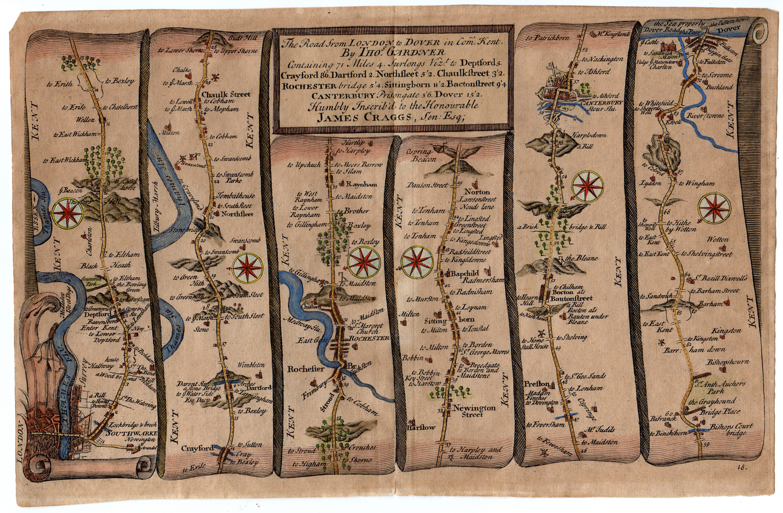
Subject: Antique print, titled: ”18. The road from London to Dover […]” – Strip road map of the route from London through Rochester, Canterbury to Dover. This map dedicated to James Craggs.
Condition: Good, given age. Original middle fold and narrow margins as issued. Some paper separations at middle fold margins. Top left corner clipped. Paper browned. General age-related toning and/or occasional minor defects from handling. Please study scan carefully.
Medium: Engraving, hand coloured on hand laid (verge type with chainlines) paper. Watermark: letters: VI
Size (in cm): The overall size is ca. 27.5 x 17.8 cm. The image size is ca. 27 x 16.3 cm.
Size (in inch): The overall size is ca. 10.8 x 7 inch. The image size is ca. 10.6 x 6.4 inch.
Part Number: 66407
Location: PCO-B1-11
Description: From Thomas Gardner’s road atlas: “A pocket guide to the English traveller Being a compleat survey and measurement of all the principal roads and most considerable cross roads in England and Wales. In one hundred copper plates.” by Thomas Gardner Printed for J Tonson at Shakespear’s Head over against Katherine Street in the Strand and J Watts at the printing office in Wild Court near Lincoln’s Inn Fields, London, 1719. Maps are based on the larger size John Ogilby maps.
Artists and Engravers: Made by ‘Thomas Gardner’ after ‘John Ogilby’. Thomas Gardner (1690-1769) was a British engraver and antiquary from Southwold, Suffolk.


Reviews
There are no reviews yet.