


 Print
Description
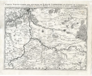
‘Carte Particuliere des environs de Liege, Limbourg, et partie de Luxembourg.’
Published in Amsterdam by Covens and Mortier, ca. 1748. From a very scarse Atlas with few copies published. This map is based on an earlier map by E.H. Fricx.
Pieter (1661-1711) and David Mortier (1673-1728) were booksellers in Paris and Amsterdam of Huguenot descent and have published a wide range of geographical works. David moved to England c.1696. The Amsterdam bookshop existed from 1680-1725. After Pieter’s death, his widow continued the business until their son Cornelius (1699-1783) took over. Cornelius started a partnership with his brother-in-law Johannes Covens I (1697-1774) and established the famous publishing house “Covens and Mortier” in Amsterdam. They have re-issued Atlases of Sanson, de l’Isle, Visscher and de Wit.
Etching / engraving on hand laid paper (verge).
Watermark: none.
Sheet: c. 59 x 49 cm
Image: c. 53.5 x 43 cm
We have not fully described this item yet. For additional information please enquire.
PCO-E4-18

Reviews
There are no reviews yet.