
 Print
Description
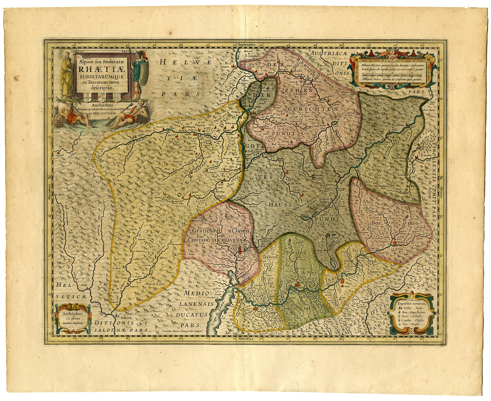
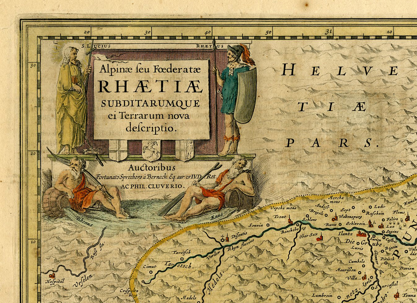
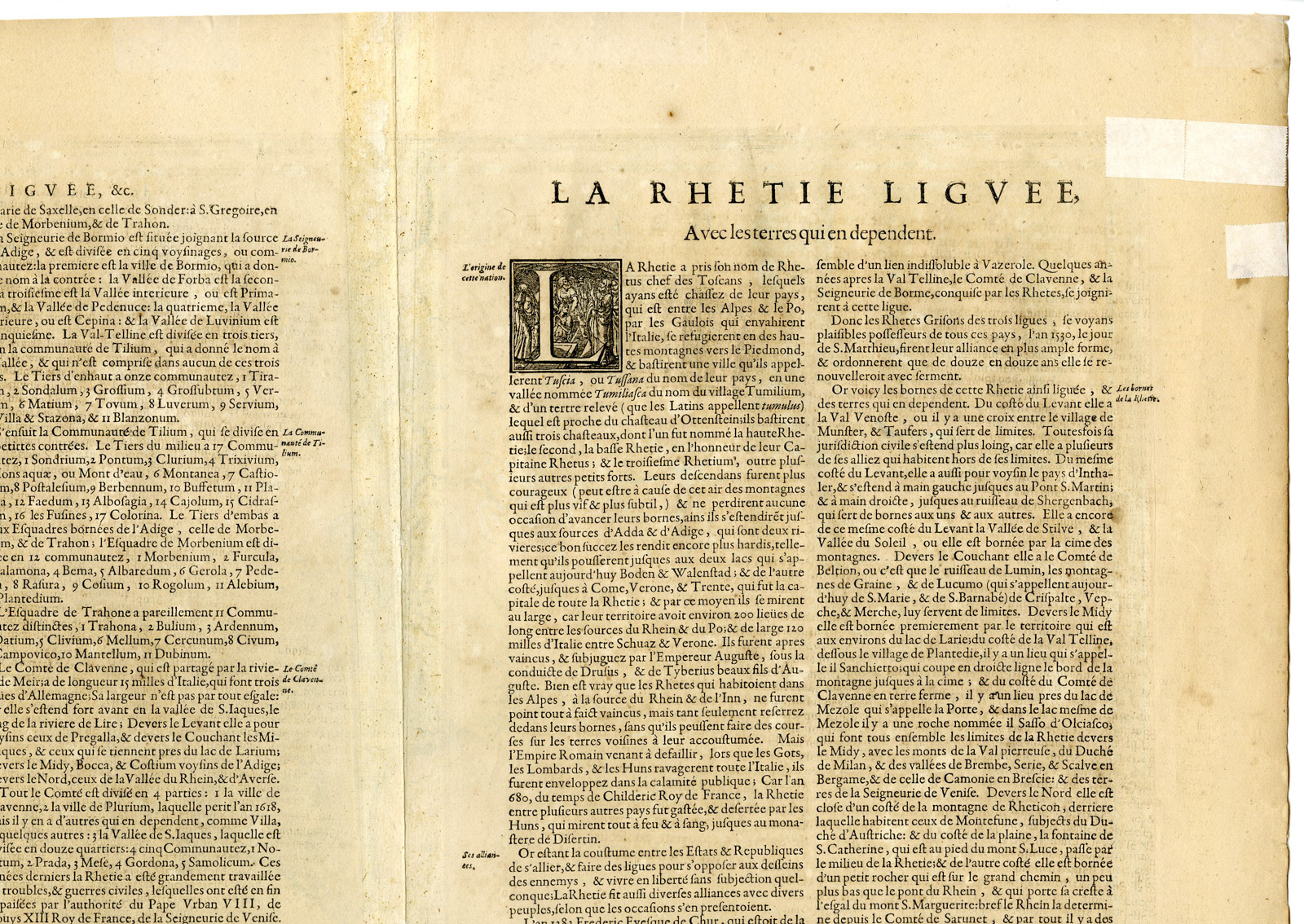
This print shows a view on canton Graubünden in Switzerland including Chur, Davos, St.Moritz, etc. With many mountains, rivers, lakes, place names, etc. In the upper left corner we see the figurative title cartouche. In the lower right corner is a small cartouche with the explanation of this map. The mileage scale is in the upper right corner. French text on reverse.
Made by Everardus Simonis Hamersfeld after Jodocus Hondius.
Medium: Engraving with hand colouring on handlaid (verge) paper.
Sheet size: 59 x 48 cm (23.23 x 18.9 inch). Image size: 49 x 38 cm. (19.29 x 14.96 inch).
Condition: good, given age. Brown edges. Tears in margin been restored. Some brown spots- Creases. Fold as published. General age-related toning and/or occasional minor defects from handling. Please study scan carefully.
MAP-SWITZERLAND-CANTON GRAUBUNDEN-CHUR-DAVOS-ST. MORITZ-MOUNTAINS | RBOS-A11-25
BACKGROUND INFORMATION
This attractive print was published by Joan. Janssonius, Amsterdam, 1633.
Biography artist: Originally engraved for Jodocus Hondius, at his death on August 18, 1629, this among 39 other Hondius copper plates were purchased by Willem Blaeu who deleted Hondius’ name and added his own to the imprint. Blaeu immediately published 34 of them as part of his first atlas. The cartographic source is based on Philipp Cluverius. .

Reviews
There are no reviews yet.