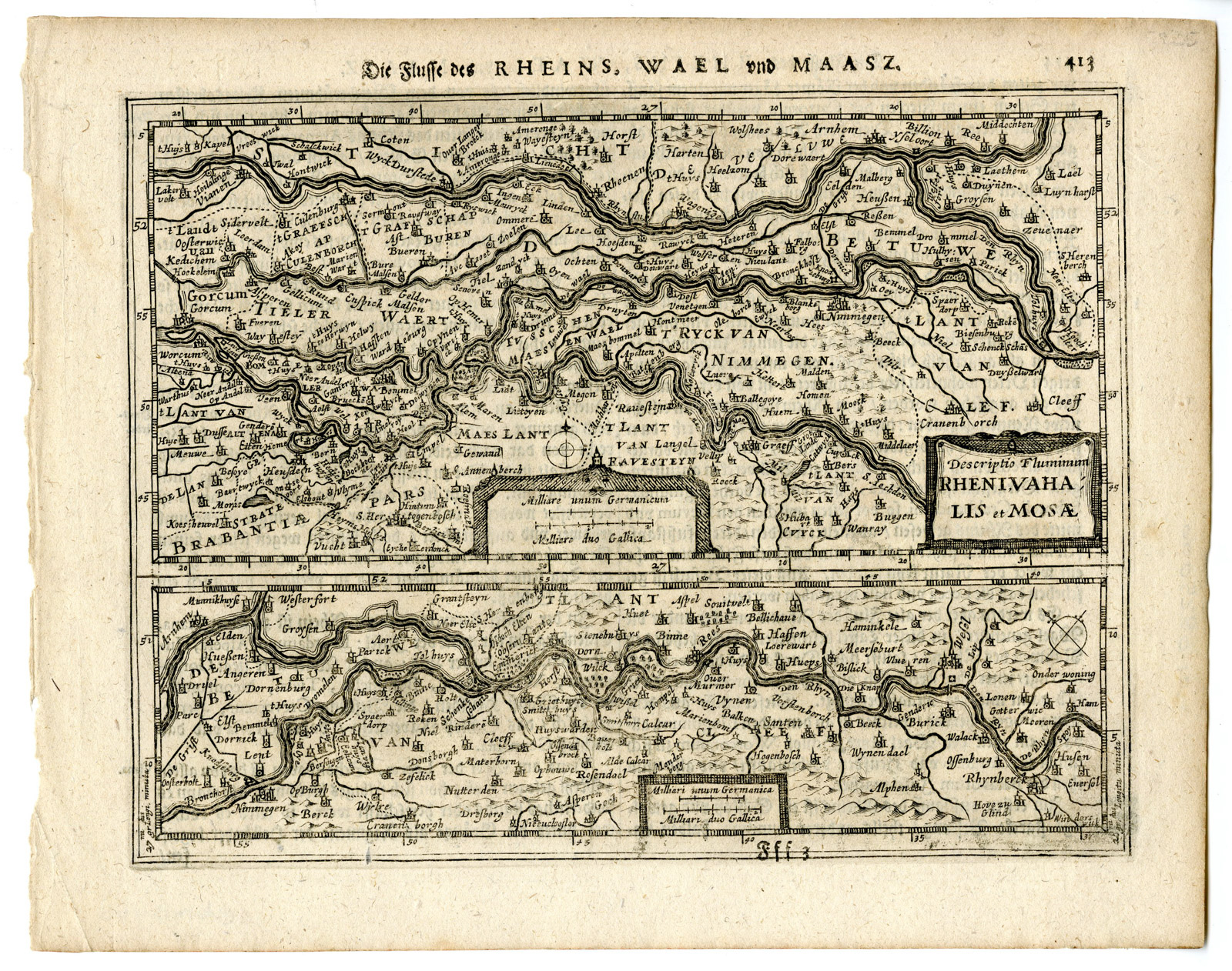
Antique Map-RHINE-WAAL-MEUSE-MAAS-RIJN-NETHERLANDS-Mercator-Hondius-c. 1650

Print

€145.00

‘DIE FLUSSE DES RHEINS, WAEL UND MAASZ (..).’

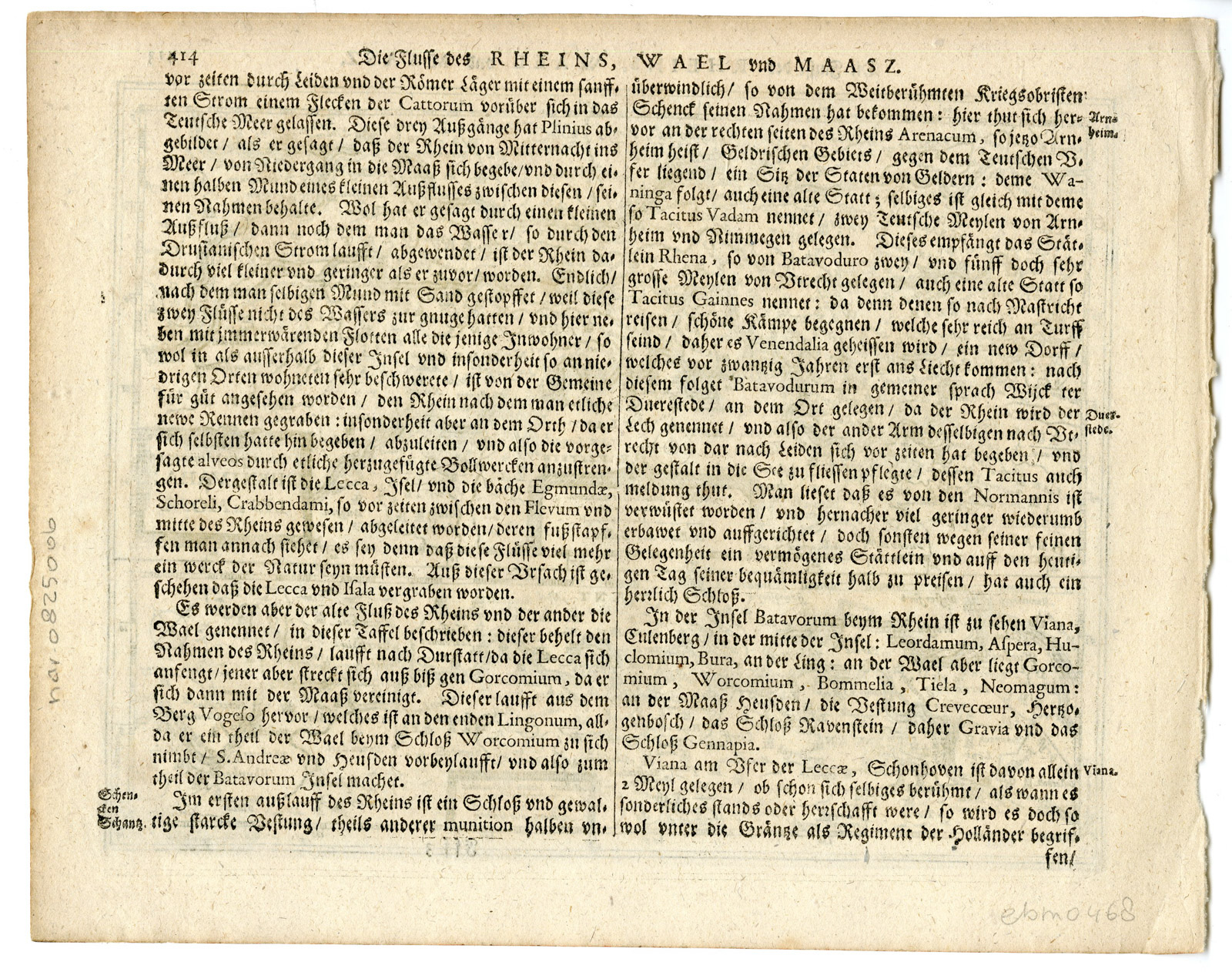
– Original antique map showing the course of the major Dutch rivers: the Rhine (Rhenus), the Waal (Vahalis), and the Meuse (Mosa). Produced by Jan Janssonius and issued in the Atlas Minor in Amsterdam (1651), it offers a detailed geographical view of the river systems in the Netherlands at the midpoint of the 17th century. The upper half shows the confluence and courses of the Rhine, Waal, and Meuse rivers, while the lower panel illustrates the Rhine River before its division into separate branches. It features a classic baroque title cartouche, a mileage scale, and original German text on the verso, describing the role of these rivers in the region’s historical development.

In stock

SKU: PCO-9731 Category: Tag:

Description

Medium: Engraving/etching on hand laid (verge) paper.

Sheet size: 23.7 x 18.8 cm (9.33 x 7.4 inch). Image size: 20.2 x 15.5 cm. (7.95 x 6.1 inch).

Condition: very good, given age. General age-related toning and/or occasional minor defects from handling. Please study scan carefully.

RHINE-WAAL-MEUSE-MAAS-RIJN-NETHERLANDS | PCO-E10-25

BACKGROUND INFORMATION

This original old antique map originates from the Atlas Minor by Mercator / Janssonius published in Amsterdam c. 1650.

Biography engraver: Gerardus Mercator (1512–1594): Flemish cartographer who revolutionized geography with his projection and scholarly maps.

Biography artist: Jan Janssonius (1588–1664): Took over and reissued the Mercator-Hondius maps with multilingual editions including this German-language version in 1651.
Additional information

Dimensions 188 × 237 × 1 cm

Reviews

There are no reviews yet.

Be the first to review “Antique Map-RHINE-WAAL-MEUSE-MAAS-RIJN-NETHERLANDS-Mercator-Hondius-c. 1650”

You might also like: